
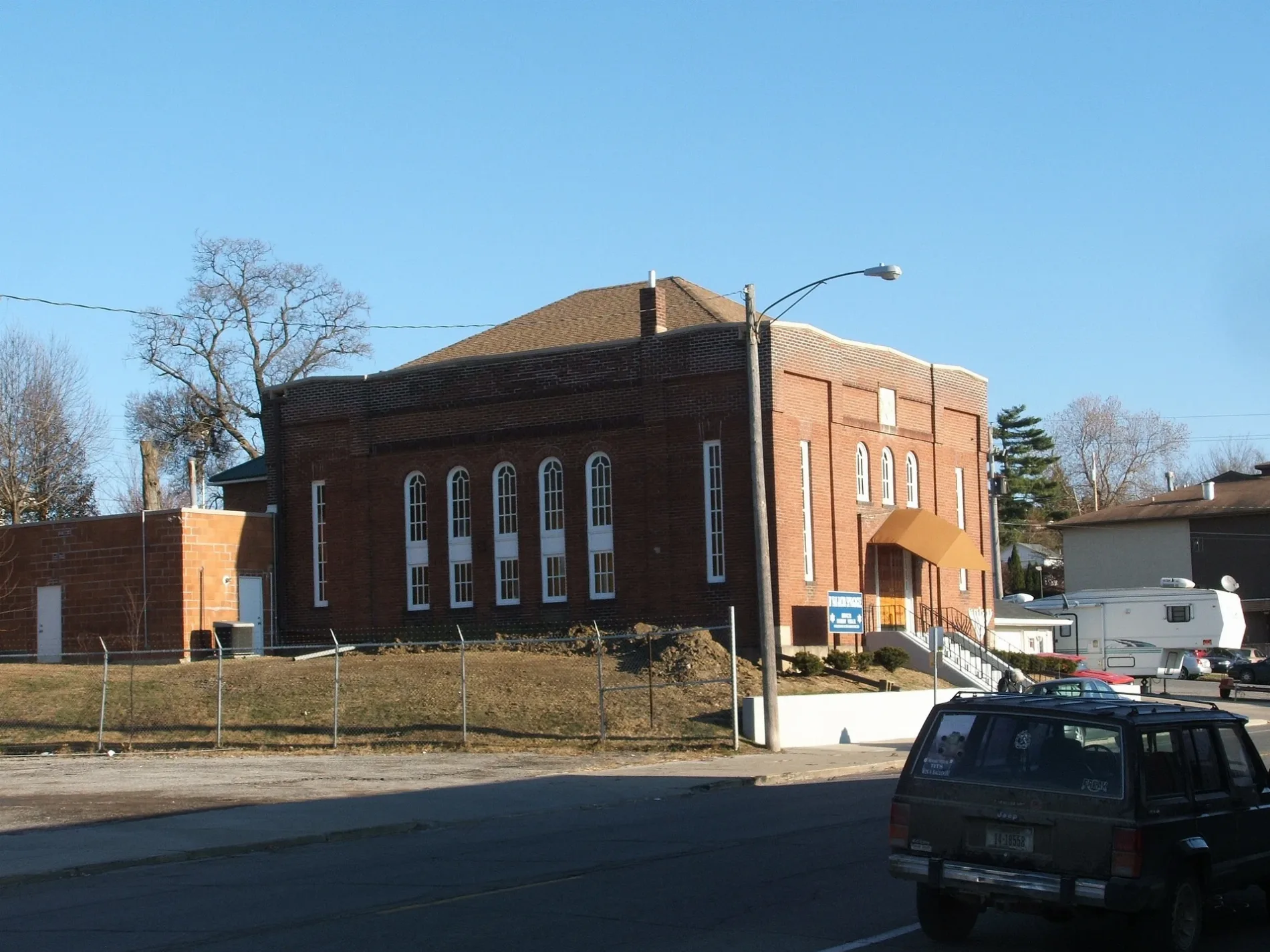
Commercial Street in Ottumwa, Iowa
Commercial Street in Ottumwa is an unclassified road. It runs in a southeast-northwest direction starting from South Market Street and crosses South Green Street and ends at Rushing Way. Commercial Street also exists in Pottawattamie County, Plymouth County, Calhoun County, Carroll County and Lee County.
- Road Type
- unclassified road
- Route
- southeast-northwest
Image
Tobacco shops
Clothing stores
Stations
Artworks
Gift shops
Fast food restaurants
Dentist offices
Hair salons
Platforms
Prisons
Dry cleaners
Bars
Restaurants
Police stations
Museums
- Iowa Heartland History Connection (Web) – approx. 0.2 mi.
Bus stops
Vacation apartments
Streets nearby
South Market Street300 ft
East Main StreetAppanoose Rapids, East Ottumwa, Greenleaf Tobacco & Vape
500 ft
South Court StreetOwl's Nest
0.1 mi
North Court StreetSteve Wetrich, DDS, Moore Hearing Clinic
0.2 mi
River DriveOttumwa
0.2 mi
West Main StreetWapello County Jail
0.2 mi
River Street0.2 mi
South Washington Street0.2 mi
West Third StreetOttumwa
0.2 mi
West Second StreetWapello County Sheriffs Office
0.3 mi
South Marion Street0.3 mi
West Fourth Street0.3 mi
North Marion Street0.3 mi
Turner DriveIowa Heartland History Connection, Ottumwa
0.3 mi
South Wapello StreetOttumwa Police Department
0.4 mi
Antique stores nearby
O'Town Marketplace300 ft
Banks nearby
Wells Fargo0.3 mi
Buildings nearby
City of Ottumwa Power Plant0.2 mi
Car rentals nearby
Enterprise0.3 mi
Clinics nearby
Get Well Clinic0.3 mi
Collector shops nearby
McKee Coins400 ft
Commercial buildings nearby
River Hills Community Health Center100 ft
Ottumwa Area Chamber of Commerce350 ft
KTVO500 ft
Kiple, Denefe, Beaver, Gardner & Zingg LLP0.1 mi
Farmers Insurance0.2 mi
Gaumer, Emanuel, Carpenter & Goldsmith, P.C.0.2 mi
Wapello County Veteran Affairs0.2 mi
Southeast Iowa Physical Therapy0.2 mi
McCune and Reed Insurance0.2 mi
Community centers nearby
Knights of Columbus0.2 mi
Electronics stores nearby
Bridge City TV & Appliance100 ft
Furniture stores nearby
Rent-A-Center400 ft
Hair salons nearby
Bliss Beauty Bar0.2 mi
Hotels nearby
Hotel Ottumwa0.2 mi
AmericInn0.2 mi
Libraries nearby
Ottumwa Public Library0.2 mi
Opticians nearby
The Optical Shoppe100 ft
Parks nearby
Ballingall Park0.2 mi
Places of worship nearby
The Church0.3 mi
First Presbyterian Church0.3 mi
First Christian Church0.3 mi
Railways nearby
BNSF Ottumwa Subdivision0.2 mi
Restaurants nearby
Canteen Lunch in the Alley0.1 mi
Pizza Hut0.3 mi
Sports fields nearby
Ottumwa Skate Park400 ft
Stationery stores nearby
Bailey's Office Equipment0.1 mi
Tire dealers nearby
Expert Tire0.3 mi
Train stations nearby
Ottumwa Union Depot0.2 mi
Public transit map Ottumwa Legend
| Railway | |
| Bus | |
| Streetcar |
Bicycle map Ottumwa Legend
| Bike path | |
| Bike lane on roadway | |
| Cycling allowed on bus lane | |
| Bicycle street | |
| Open to cyclists | |
| Open to cyclists, good path | |
| Cycling prohibited | |
| Cobblestone |
| Long-distance bike route | (depending on scale) | |
| Long-distance bike route |
Pedestrian map Ottumwa Legend
| Path |
| Long-distance hiking trail | (depending on scale) | |
| Long-distance hiking trail | ||
| Pedestrians prohibited |