
Rushing Way in Ottumwa, Iowa
Rushing Way in Ottumwa is a service road. It runs in a southeast-northwest direction starting from Commercial Street and crosses South Green Street.
- Road Type
- service road
- Route
- southeast-northwest
Image
Bars
Clothing stores
Artworks
Museums
- Iowa Heartland History Connection (Web) – approx. 0.3 mi.
Gift shops
Fast food restaurants
Dentist offices
Hair salons
Stations
Prisons
Dry cleaners
Restaurants
Tobacco shops
Police stations
Platforms
Bus stops
Vacation apartments
Streets nearby
South Green Street250 ft
South Jefferson Street450 ft
Mill Street0.1 mi
Jefferson Street Viaduct0.1 mi
East Third Street0.2 mi
College Street0.2 mi
Wabash Bridge0.2 mi
South Union Street0.2 mi
East Fourth Street0.2 mi
East Second StreetThe Bridal Cottage, Second Street Café, Tom Tom Tap
0.3 mi
North Union Street0.3 mi
Hackberry Street0.3 mi
Blake Street0.3 mi
Nieman Street0.3 mi
Abandoned railways nearby
Ottumwa Branch (Sixteenth District)450 ft
Apartment buildings nearby
Wilshire Apartments0.2 mi
Hillside Apartments0.3 mi
Bars nearby
The Salty Frog150 ft
Car dealerships nearby
Carl's Used Cars & Detail Shop0.4 mi
Clothing stores nearby
C&C Discount50 ft
My Chic Boutique100 ft
Elegance by Design150 ft
Collector shops nearby
Empire Cards400 ft
Commercial buildings nearby
American Red Cross450 ft
Curtis Architecture & Design500 ft
J.W. Garner Building0.1 mi
Detlie Law Firm0.1 mi
Farm Bureau Financial Services0.2 mi
MidAmerican Energy0.4 mi
Community centers nearby
Fraternal Order of the Eagles 114550 ft
Dentist's offices nearby
James D. Enloe, DDS0.1 mi
Funeral homes nearby
Reece Funeral Home0.3 mi
Gift shops nearby
Martha's Nook & Cranny350 ft
Pawn shops nearby
Nancy's Pawn Shop0.2 mi
Places of worship nearby
Heartland Assembly of God500 ft
Jubilee Bible Church0.2 mi
Wesley United Methodist Church0.2 mi
Second Baptist Church0.2 mi
First Lutheran Church0.2 mi
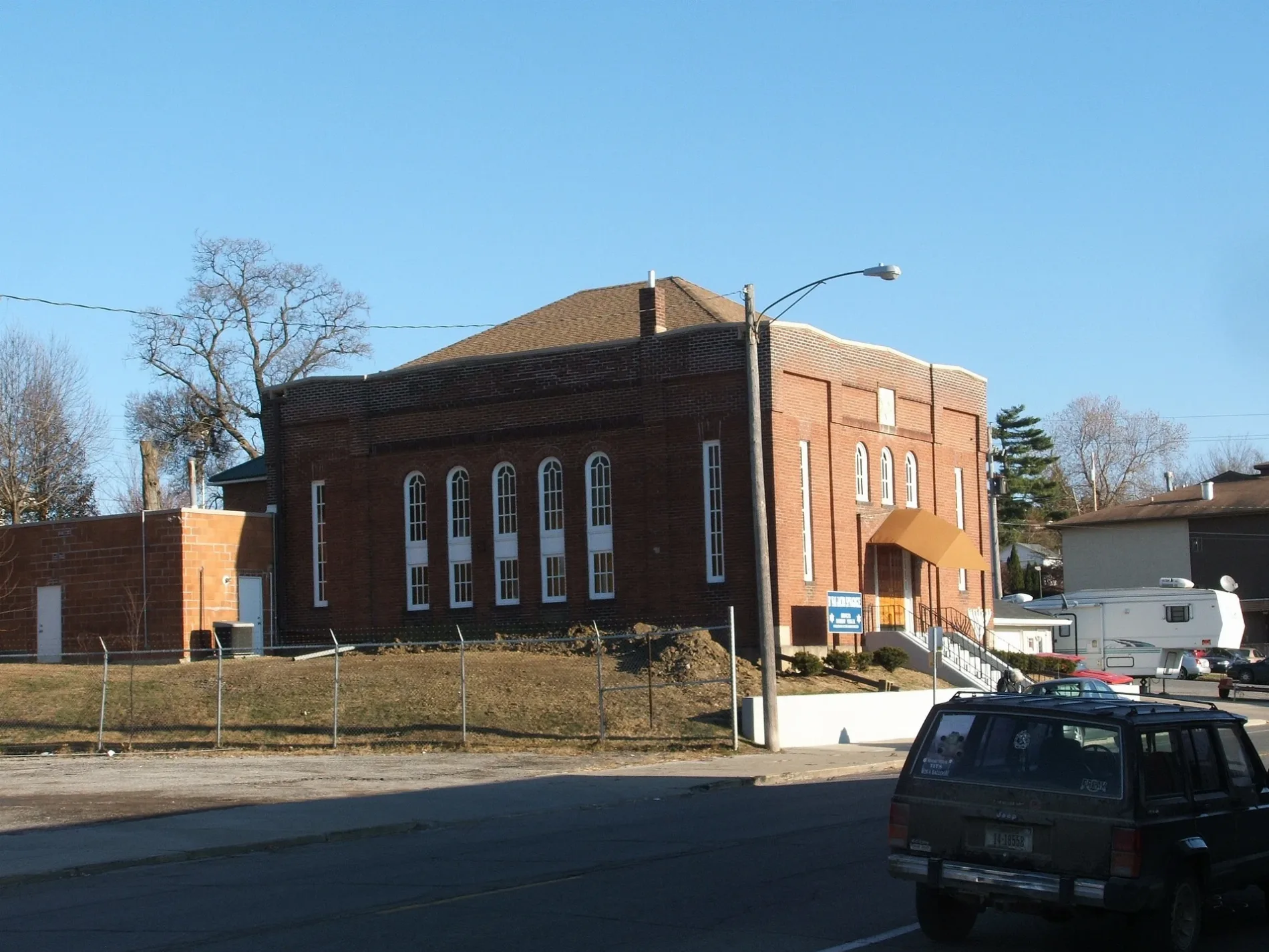
B'nai Jacob Synagogue0.2 mi
Restaurants nearby
El Rancho Grande300 ft
Breadeaux Pizza & Champ's Chicken450 ft
Retail buildings nearby
Promise Center350 ft
Utt Building0.1 mi
Shopping malls nearby
Market on Main350 ft
Social facilities nearby
Blessings Soup Kitchen400 ft
Studios nearby
KMGO250 ft
Ottumwa Radio500 ft
 Public transit map Ottumwa Legend
| Railway | |
| Bus | |
| Streetcar |
 Bicycle map Ottumwa Legend
| Bike path | |
| Bike lane on roadway | |
| Cycling allowed on bus lane | |
| Bicycle street | |
| Open to cyclists | |
| Open to cyclists, good path | |
| Cycling prohibited | |
| Cobblestone |
| Long-distance bike route | (depending on scale) | |
| Long-distance bike route |
 Pedestrian map Ottumwa Legend
| Path |
| Long-distance hiking trail | (depending on scale) | |
| Long-distance hiking trail | ||
| Pedestrians prohibited |