
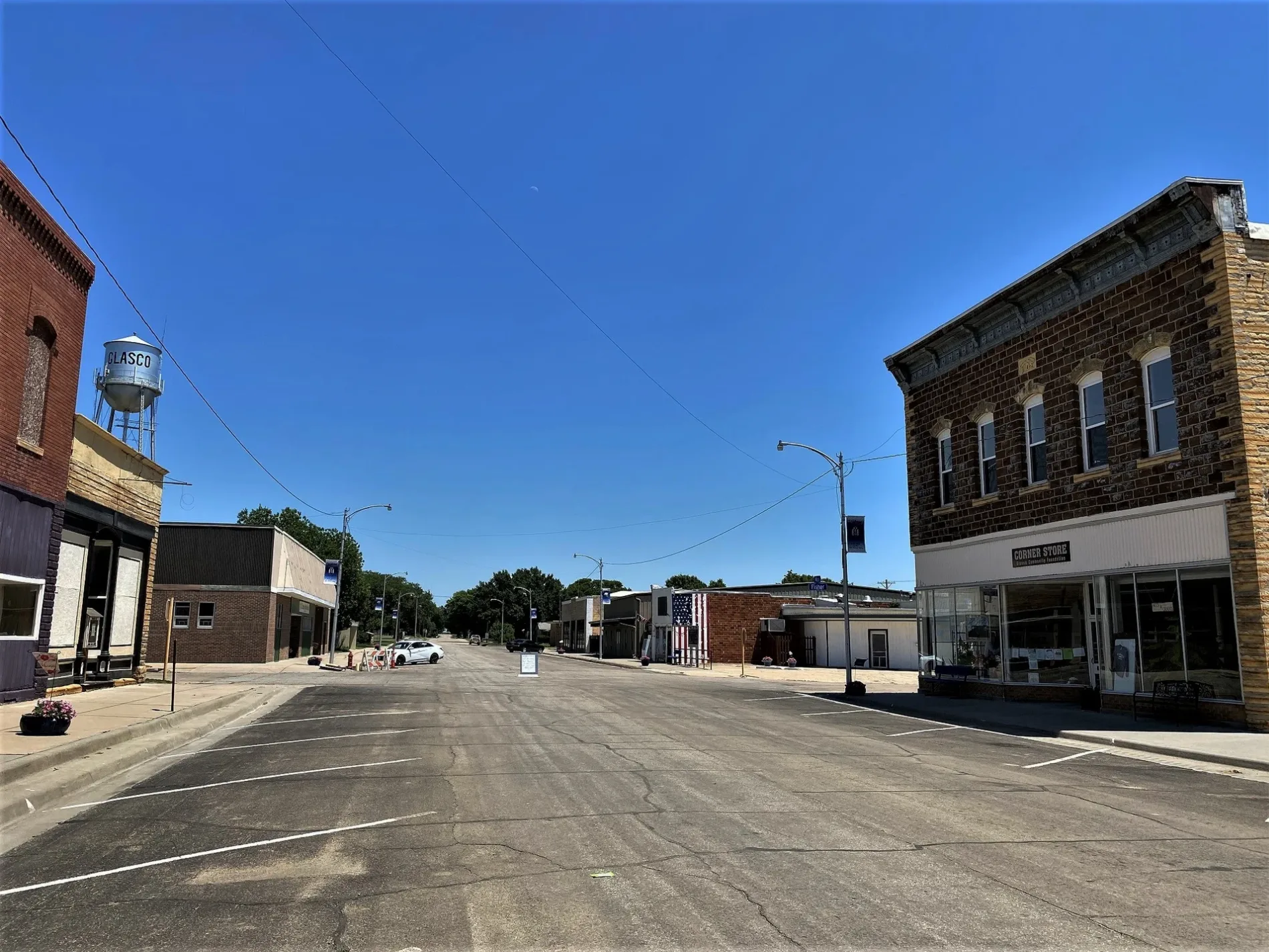
Railroad Avenue in Glasco, Kansas
Railroad Avenue in Glasco is a residential street. It runs in a north-south direction and crosses Elm Street, Pott Street, Buffalo Street, Main Street, 1st Street, 2nd Street and 3rd Street. It ends in a cul-de-sac. Nearby you can find a butcher shop and a kindergarten. The nearest stop is Kansas Transit Express (about 200 m away). Railroad Avenue also exists in Phillips County, Morris County, Republic County, Barton County and Cowley County.
- Road Type
- residential street
- Route
- north-south
Image
Streets nearby
Main StreetGlasco Fire Department, Glasco City Hall, Shared Treasures Boutique, Glasco Oven And Tavern, The Hodge Podge, Kansas Transit Express, Citizens State Bank, Glasco City Library, Post Office
250 ft
Fisher Street500 ft
West Street0.1 mi
Walnut Street0.2 mi
Spears StreetGlasco Family Physicians
0.2 mi
North Spears Street0.2 mi
South Haynes Street0.2 mi
Haynes Street0.3 mi
East Buffalo StreetThe Nicol Home Inc.
0.3 mi
Spaulding Street0.3 mi
North Haynes Street0.3 mi
East Potts Street0.3 mi
East 1st Street0.3 mi
East Elm Street0.3 mi
East 2nd Street0.3 mi
North Ash Street0.4 mi
East Spaulding Avenue0.4 mi
South Ash Street0.4 mi
Buffalo Street0.4 mi
North Birch Street0.4 mi
South Birch Street0.4 mi
East Main Street0.4 mi
Pott Street0.4 mi
Birch Street0.4 mi
2nd Street0.5 mi
Crest RoadGlasco Rural Fire Department 2
0.5 mi
East Pott Street0.5 mi
3rd Street0.5 mi
Cherry Street0.5 mi
Elm Street0.5 mi
South Cemetery Road0.5 mi
1st Street0.5 mi
45th Road0.6 mi
40th Road0.8 mi
Blaze RoadGlasco
1.1 mi
Deer RoadHeber Church
1.3 mi
50th Road1.6 mi
Camp Road1.7 mi
Dove RoadCVA
2.1 mi
60th RoadMacyville
2.2 mi
Bell RoadRocky Hill School
2.3 mi
Fawn Road2.5 mi
Parks nearby
Glasco City Park500 ft
Railways nearby
Kyle Spur0.5 mi
Kyle Solomon Subdivision2.0 mi
Rivers nearby
Solomon River1.6 mi
Sports centers nearby
Glasco Community Pool500 ft
Streams nearby
Fisher Creek0.5 mi
Cris Creek1.5 mi
 Public transit map Glasco Legend
| Railway | |
| Bus | |
| Streetcar |
 Bicycle map Glasco Legend
| Bike path | |
| Bike lane on roadway | |
| Cycling allowed on bus lane | |
| Bicycle street | |
| Open to cyclists | |
| Open to cyclists, good path | |
| Cycling prohibited | |
| Cobblestone |
| Long-distance bike route | (depending on scale) | |
| Long-distance bike route |
 Pedestrian map Glasco Legend
| Path |
| Long-distance hiking trail | (depending on scale) | |
| Long-distance hiking trail | ||
| Pedestrians prohibited |