
Anderson Avenue in Manhattan, Kansas
Anderson Avenue in Manhattan is a three-lane, asphalted secondary road. It runs in an east-west direction and crosses Bellehaven Road, Willard Place, Midland Avenue, Wildwood Lane, Oakdale Drive, Elling Drive, Canfield Drive, Westview Drive, Edgerton Avenue, Lee Street, Wickham Road and Harris Avenue. It ends in a cul-de-sac. Nearby you can find among others 2 banks, 2 gas stations, a fast food restaurant and a cafe. The nearest stop is Village Plaza. The bus line 1B stops here. Anderson Avenue also exists in Sedgwick County.
- Road Type
- secondary road
- Lanes
- 3
- Speed Limit
- 30 mph
- Route
- east-west
Image
Car washes
Convenience stores
Bus stops
- bus lines 1B
Banks
Fast food restaurants
Beauty salons
Auto parts stores
Gas stations
Cafes
Vape shops
Liquor stores
Streets nearby
Beach Lane200 ft
Laramie StreetGreen Apple Bikes Christian College Station, Green Tea Sushi Bar, Fat's Bar, The Library Liquor
0.1 mi
Vattier Street0.1 mi
Goldstein CircleMcCain
0.2 mi
Wilson Court0.2 mi
Mid-Campus DriveCall Hall, Call Hall Dairy Bar
0.2 mi
Wefald's Butterfly Lane0.2 mi
North Martin Luther King Jr DriveMLK Jr & Leavenworth, Martin Luther King Jr. Bust, Union North, Green Apple Bikes Holiday Inn Station, K-State Union, Commerce Bank
0.3 mi
Senior Sidewalk0.3 mi
North 17th Street;Martin Luther King Jr Memorial Drive0.3 mi
Bayberry LaneGreen Apple Bikes Hale Library Station
0.3 mi
Bosco PlazaBosco Clock Tower, Subway, Cat's Den, Radina's Coffee, Qdoba, Chick-fil-A, Panda Express, Just Salad, K-State Campus Store, Green Apple Bikes Kansas State Student Union Station
0.3 mi
Buildings nearby
Joliffe Hall300 ft
Coffin Hall450 ft
Holton Hall0.3 mi
East Stadium0.3 mi
Grasslands nearby
Anderson Hall Lawn0.2 mi
Libraries nearby
Hale Library0.3 mi
Museums nearby
Beach Museum of Art350 ft
Parking lots nearby
K-State Parking Garage0.3 mi
Residential buildings nearby
Johnson Hall450 ft
Restaurants nearby
Houlihan's0.3 mi
Retail areas nearby
Anderson Village0.1 mi
Stadiums nearby
Ahearn Field House0.4 mi
University buildings nearby
Thompson Hall450 ft
McCain Auditorium0.1 mi
Danforth and All Faiths Chappels0.1 mi
Nichols Hall0.1 mi
College Of Business Administration Building0.2 mi
President's Residence0.2 mi
Calvin Hall0.2 mi
Fairchild Hall0.2 mi
Kedzie Hall0.2 mi
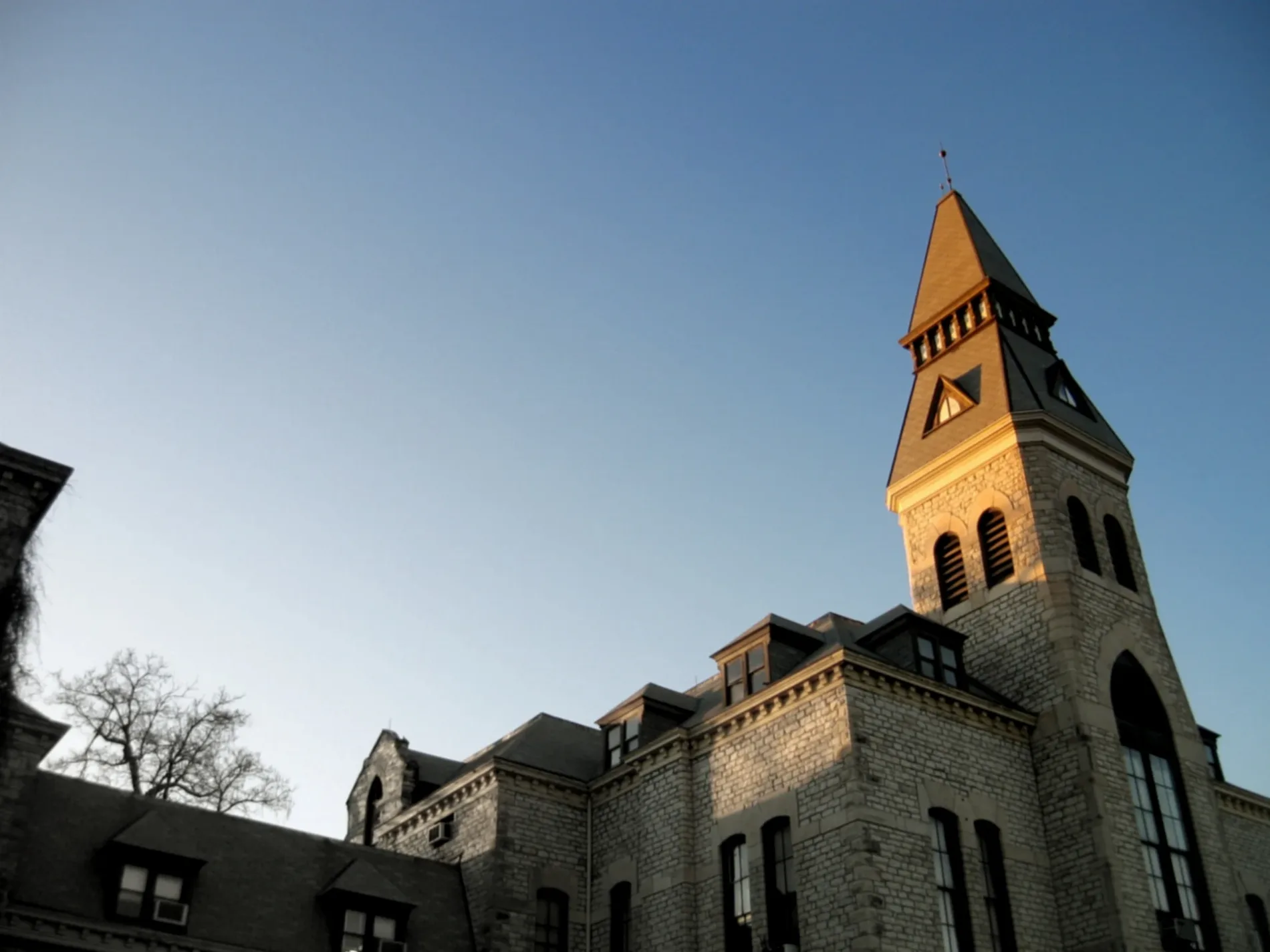
Anderson Hall0.2 mi
Justin Hall0.3 mi
Eisenhower Hall0.3 mi
Morris Family Multicultural Student Center0.3 mi
Bluemont Hall0.3 mi
K-State Student Union0.3 mi
Holtz Hall0.3 mi
Dickens Hall0.3 mi
Seaton Hall0.3 mi
Regnier Hall0.3 mi
Willard Hall0.4 mi
English / Counseling Services0.4 mi
Seaton Northeast Addition0.4 mi
Power Plant0.4 mi
Other nearby
Holen Courtyard0.3 mi
Kansas State University Quad0.4 mi
 Public transit map Manhattan Legend
| Railway | |
| Bus | |
| Streetcar |
 Bicycle map Manhattan Legend
| Bike path | |
| Bike lane on roadway | |
| Cycling allowed on bus lane | |
| Bicycle street | |
| Open to cyclists | |
| Open to cyclists, good path | |
| Cycling prohibited | |
| Cobblestone |
| Long-distance bike route | (depending on scale) | |
| Long-distance bike route |
 Pedestrian map Manhattan Legend
| Path |
| Long-distance hiking trail | (depending on scale) | |
| Long-distance hiking trail | ||
| Pedestrians prohibited |