
Pheasent Run in Valley Center, Kansas
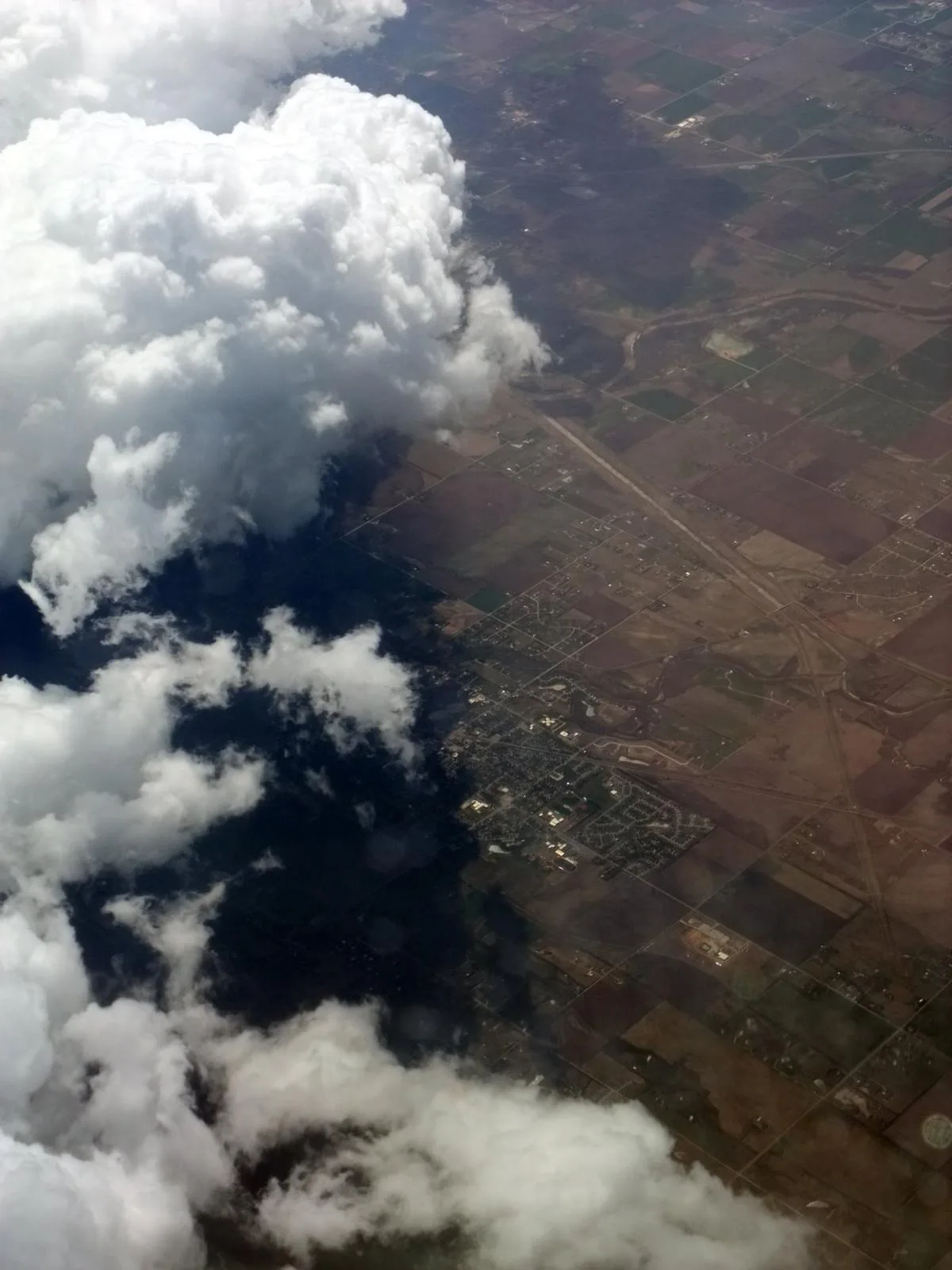
Pheasent Run in Valley Center is a residential street. It runs in a north-south direction starting from Deerfield Circle and ends at West Scott Street.
- Road Type
- residential street
- Route
- north-south
Image
Beauty salons
Pet stores
Cafes
Town halls
Laundries
Places of worship
Schools
Convenience stores
Veterinary clinics
Event venues
Gift shops
Bars
Restaurants
Fast food restaurants
Gas stations
Museums
- Valley Center Cultural and Historical Museum (Web) at North Meridian Street 112 (67147) – approx. 0.7 mi.
Police stations
Liquor stores
Pharmacies
Streets nearby
Deerfield Circle300 ft
West Scott Street350 ft
Interurban Street0.1 mi
Fieldstone RoadWheatland Elementary School
0.1 mi
North West Avenue0.1 mi
West 5th Street0.1 mi
Meadow Road0.1 mi
North Birch Avenue0.1 mi
Albert Street0.2 mi
Hickory Lane0.2 mi
West Scott0.2 mi
West 4th Street0.2 mi
Elm Avenue0.3 mi
West Fieldstone Street0.3 mi
Park Court0.3 mi
Pheasant Run0.3 mi
West Davis Road0.3 mi
West Greenfield Street0.3 mi
Meeds Drive0.3 mi
West 85th Street NorthValley Center Christian Church
0.3 mi
Sheridan AvenueWest Elementary School
0.3 mi
Clover Lane0.3 mi
North Greenfield Street0.3 mi
Parkway Drive0.3 mi
West 3rd Street0.4 mi
North Park AvenuePawPrints Pet Supply
0.4 mi
East 6th Street0.4 mi
North Meridian StreetValley Center Intermediate School, Valley Center Cultural and Historical Museum, Kwik Shop
0.4 mi
West 3rd Terrace0.4 mi
North Elm Avenue0.4 mi
Ora Court0.4 mi
7th Street0.4 mi
North Abilene Avenue0.4 mi
West 2nd StreetValley Center
0.5 mi
North Ash Street0.5 mi
North Burns Avenue0.5 mi
West 1st Street0.5 mi
West Cottonwood Drive0.5 mi
East 4th Street0.5 mi
North Cedar Avenue0.6 mi
West Main StreetE&J's Eatery, Main Street Coffee, Valley Center Veterinary Clinic, LeVenue
0.6 mi
Auto repair shops nearby
Avery Automotive Repair0.6 mi
Buildings nearby
New Hope Nursing Home0.4 mi
Churches nearby
First United Methodist Church Vc0.3 mi
Fast food restaurants nearby
The Hornet's Nest0.4 mi
Parks nearby
Ridgefield Park0.3 mi
Railways nearby
BNSF Valley Center Siding0.4 mi
BNSF Arkansas City Subdivision0.5 mi
Schools nearby
Abilene Elementary School0.5 mi
 Public transit map Valley Center Legend
| Railway | |
| Bus | |
| Streetcar |
 Bicycle map Valley Center Legend
| Bike path | |
| Bike lane on roadway | |
| Cycling allowed on bus lane | |
| Bicycle street | |
| Open to cyclists | |
| Open to cyclists, good path | |
| Cycling prohibited | |
| Cobblestone |
| Long-distance bike route | (depending on scale) | |
| Long-distance bike route |
 Pedestrian map Valley Center Legend
| Path |
| Long-distance hiking trail | (depending on scale) | |
| Long-distance hiking trail | ||
| Pedestrians prohibited |