
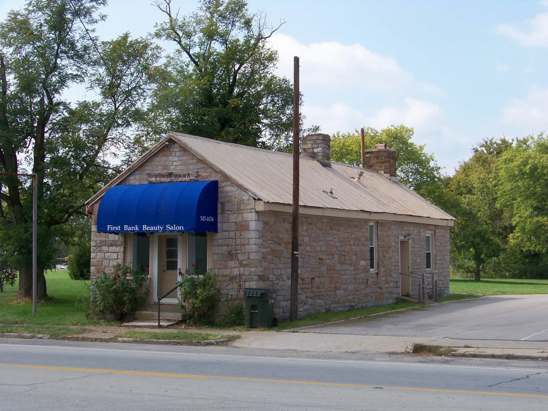
West 1st Street in Shepherdsville, Kentucky
West 1st Street in Shepherdsville is a residential street. It runs in an east-west direction and crosses Plum Street, Cs-1030 and South Buckman Street and ends at 1st Street, while the other end is a cul-de-sac. West 1st Street also exists in Campbell County, Barren County, Boyle County, Breckinridge County and Christian County.
- Road Type
- residential street
- Route
- east-west
Image
Fast food restaurants
Weighbridges
Convenience stores
Pharmacies
Places of worship
Gas stations
Schools
Streets nearby
West 2nd Street0.2 mi
West 3rd Street0.2 mi
Cs-10300.2 mi
Plum Street0.2 mi
Preston Highway0.2 mi
1st Street0.2 mi
Frank E Simon Avenue0.2 mi
Abbott Street0.3 mi
Funeral Home0.3 mi
Lee Street0.3 mi
Cs-10420.3 mi
3rd StreetShepherdsville
0.3 mi
Combs Court0.3 mi
2nd Street0.3 mi
South Buckman StreetCVS Pharmacy, Walgreens
0.3 mi
Walnut Street0.3 mi
Beech Grove Road0.3 mi
Old Beech Grove Road0.4 mi
West 4th Street0.4 mi
East Street0.4 mi
Crooked Oak Court0.4 mi
Oak Grove Boulevard0.4 mi
Cs-10450.4 mi
Harley Drive0.4 mi
South Plum Street0.5 mi
Old Preston Highway SouthSalt River, Zoneton Middle School
0.5 mi
Cherry Street0.5 mi
Shannon Lane0.5 mi
North Plum Street0.5 mi
East 4th StreetSpeedway
0.5 mi
Carpenter Street0.5 mi
Kart Kountry0.5 mi
Mobile Park Drive0.5 mi
Cox Drive0.5 mi
Vine Street0.5 mi
Hester Street0.5 mi
Lawrence Lane0.6 mi
Buildings nearby
Barbagallo Law Office PSC0.3 mi
Publisher's Printing0.6 mi
Cemeteries nearby
Shepherdsville Pioneer Graveyard450 ft
Courthouses nearby
Bullitt County Courthouse0.3 mi
Drugstores nearby
CVS Pharmacy0.3 mi
Walgreens0.4 mi
Libraries nearby
Ridgway Memorial Library0.3 mi
Parks nearby
1st Street Park400 ft
Places of worship nearby
Saint Aloysius Parish0.2 mi
First Baptist Church of Shepherdsville0.3 mi
Police stations nearby
Bullitt County Sheriffs Office0.3 mi
Railways nearby
CSX Mainline Subdivision0.3 mi
Public transit map Shepherdsville Legend
| Railway | |
| Bus | |
| Streetcar |
Bicycle map Shepherdsville Legend
| Bike path | |
| Bike lane on roadway | |
| Cycling allowed on bus lane | |
| Bicycle street | |
| Open to cyclists | |
| Open to cyclists, good path | |
| Cycling prohibited | |
| Cobblestone |
| Long-distance bike route | (depending on scale) | |
| Long-distance bike route |
Pedestrian map Shepherdsville Legend
| Path |
| Long-distance hiking trail | (depending on scale) | |
| Long-distance hiking trail | ||
| Pedestrians prohibited |