
Cs-1103 in Princeton, Kentucky
Cs-1103 in Princeton is a residential street. Cs-1103 also exists in Carter County, Letcher County and Lincoln County.
- Road Type
- residential street
Image
Restaurants
Places of worship
Gun stores
Copy shops
Police stations
Tattoo studios
Beauty salons
Tourist information centers
- Site of Dotson School (Marker Number: 2183). In 1910, Princeton High School was the only high school in the vicinity for blacks. In 1920s name was changed to Dotson High School in honor of John Dotson, a prominent black businessman in Princeton. In 1938, Federal WPA officials approved construction – approx. 0.1 mi.
- Princeton First Baptist Church (Marker Number: 2195). First Baptist Church, organized on March 30, 1850, under the leadership of the Rev. James Mansfield and a presbytery from Donaldson, Harmony, and New Bethel Baptist Churches, began with 11 members. The 1st church, built in 1851, stood on Vine Street. It – approx. 0.4 mi.
- Cumberland Presbyterian College (Marker Number: 1453). Site of college founded March, 1826, by the Cumberland Presbyterian Church. First president was Rev. F. R. Cossitt. School opened with six students on some 500 acres of land bought for $6,000. A manual-labor school, students required to work 2 hours a d – approx. 0.4 mi.
- Courthouse Burned (Marker Number: 579). Gen. Hylan B. Lyon with 800 men invaded Ky., Dec. 1864, to enforce CSA draft law and divert USA from Nashville. In 23 days he burned seven courthouses used by Union forces. (See map on reverse side.) US troops fled Princeton as Lyon came from Eddyville. – approx. 0.4 mi.
- Ogden Memorial United Methodist Church (Marker Number: 1932). Congregation organized in 1818 as Methodist Episcopal Church at home of Richard Barnes, a tanner. First meeting house later built beside his home on S. Jefferson St. Became M.E. Church, South, 1845, when national church split over slavery. Renamed to ho – approx. 0.4 mi.
- County Named, 1809 (Marker Number: 834). For General John Caldwell. Born Va.; came Ky., 1781. Maj. Gen. in militia; Indian campaigns. With George Rogers Clark, 1786. Member Danville Conventions, 1787, 1788, which adopted petition "demanding admission into the Union." State Senator, 1 – approx. 0.4 mi.
- Historic Educational Site (Marker Number: 1903). Six educational institutions have flourished here since 1860. Local citizens gave $20,000 and Dr. T.L. McNary six acres to establish Princeton College, 1860-80. Youth also served by Princeton Collegiate Inst., 1880-1911; Princeton High, 1911-23; Butler – approx. 0.4 mi.
Hair salons
Clothing stores
Florists
Museums
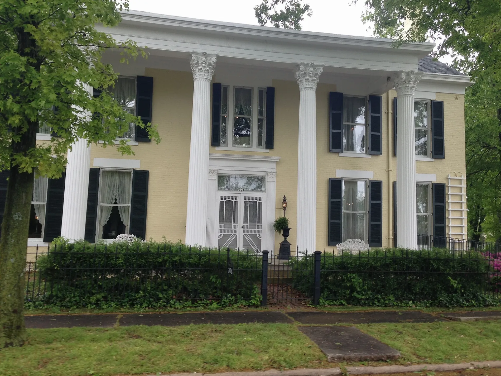
- Adsmore Museum (opening hours: Thu–Sat 11–16, Web) at North Jefferson Street 304 (42445) – approx. 0.3 mi.
Auto parts stores
Courthouses
Furniture stores
Cafes
Streets nearby
North Cave StreetPrinceton First Baptist Church (Marker Number: 2195)
300 ft
Cs-1122400 ft
Tyler Street400 ft
Cs-11230.1 mi
Sprig Street0.1 mi
North Donnivan StreetSpillman Chapel
0.1 mi
West Green StreetKay's Kitchen
0.1 mi
Calvert StreetSite of Dotson School (Marker Number: 2183)
0.1 mi
North Harrison StArmory Gun Shop, Junk Angels, Farmers Bank and Trust, Co.
0.1 mi
West Shephardson Street0.2 mi
Alley 160.2 mi
Alley 170.2 mi
McGoodwin Court0.2 mi
North Stegar Street0.2 mi
West Young Street0.2 mi
Cs-12060.3 mi
Rose Street0.3 mi
North Jefferson StreetAdsmore Museum
0.3 mi
McGoodwin Avenue0.3 mi
Cs-1206-700.3 mi
West Young Circle0.3 mi
West Locust Street0.3 mi
Grace Court0.3 mi
North Seminary Street0.3 mi
Hillview Court0.3 mi
Alley 210.3 mi
Lander Street0.3 mi
North Darby Street0.3 mi
West Market StreetNAPA Auto Parts
0.3 mi
Auto parts stores nearby
Bumper to Bumper - IKT Auto Parts0.3 mi
Buildings nearby
AT&T0.2 mi
The Eyecare Center0.3 mi
Goodwin Insurance0.3 mi
Edward Jones0.3 mi
Caldwell Water District0.3 mi
AT&T - Local Wire Center0.4 mi
Commercial areas nearby
Historic Princeton Downtown Commercial District0.3 mi
Florists nearby
Treasures Remembered Florist & Greenhouse0.3 mi
Hair salons nearby
Barber Shop0.3 mi
Houses nearby
Adsmore0.3 mi
Parks nearby
Dotson Park0.2 mi
Places of worship nearby
First Baptist Church - Christian Life Center0.4 mi
Playgrounds nearby
Playground area0.1 mi
Shelters nearby
Picnic Tables0.1 mi
Sports fields nearby
Basketball Court0.1 mi
Baseball play area0.2 mi
Tobacco shops nearby
Princeton Smoke Shop0.3 mi
Trails nearby
Walk/Run track0.1 mi
Variety stores nearby
Dollar General0.3 mi
 Public transit map Princeton Legend
 | Railway | |
| Bus | |
| Streetcar |
 Bicycle map Princeton Legend
 | Bike path | |
| Bike lane on roadway | |
| Cycling allowed on bus lane | |
| Bicycle street | |
| Open to cyclists | |
| Open to cyclists, good path | |
| Cycling prohibited | |
| Cobblestone |
| Long-distance bike route | (depending on scale) | |
| Long-distance bike route |
 Pedestrian map Princeton Legend
 | Path |
| Long-distance hiking trail | (depending on scale) | |
| Long-distance hiking trail | ||
| Pedestrians prohibited |