
North Cave Street in Princeton, Kentucky
North Cave Street in Princeton is a residential street and runs in a northeast-southwest direction starting from Tyler Street and crosses Cs-1103 and Cs-1122. Nearby there is a tourist information.
- Road Type
- residential street
- Route
- northeast-southwest
Image
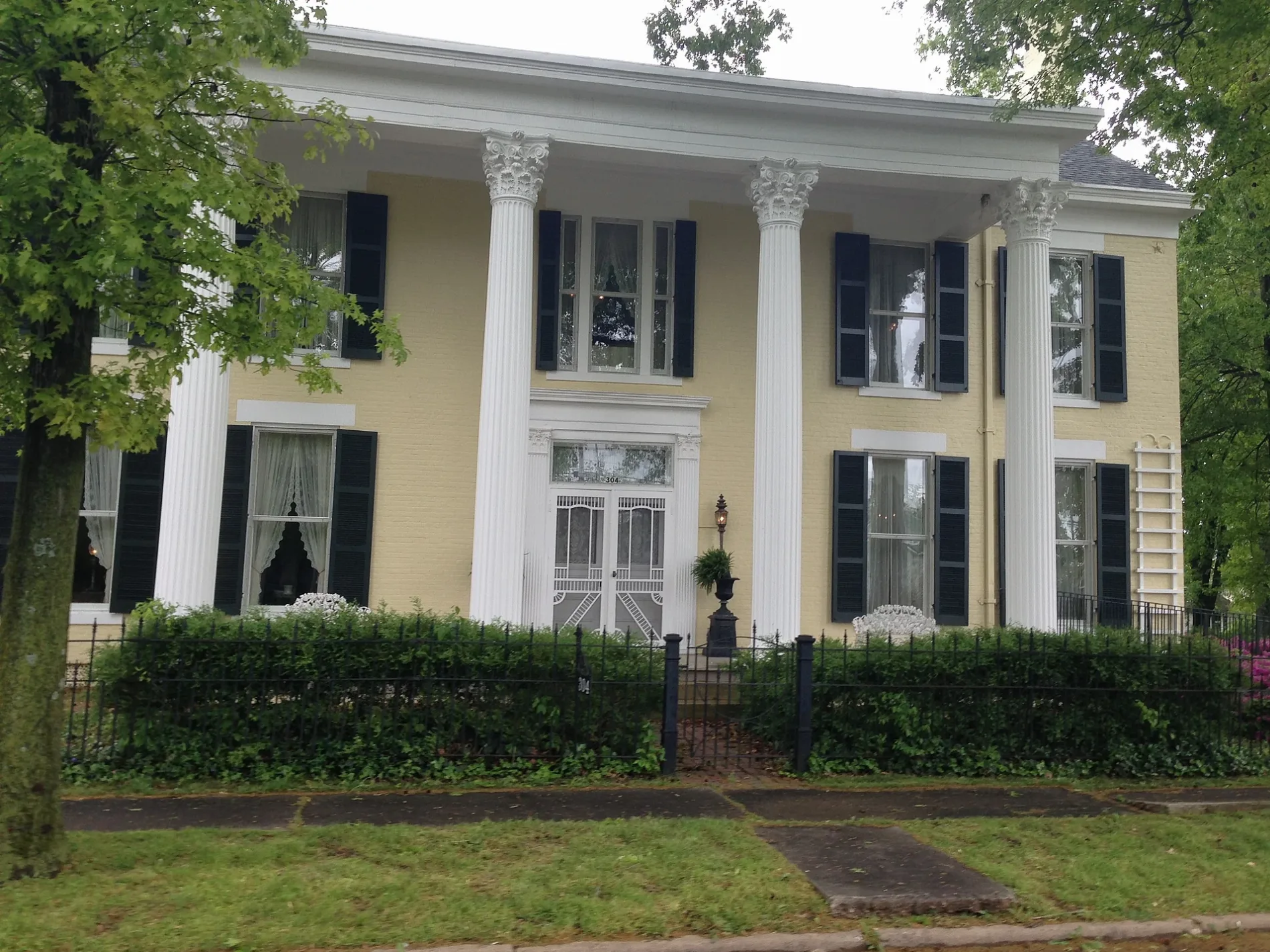
Tourist information centers
- Princeton First Baptist Church (Marker Number: 2195). First Baptist Church, organized on March 30, 1850, under the leadership of the Rev. James Mansfield and a presbytery from Donaldson, Harmony, and New Bethel Baptist Churches, began with 11 members. The 1st church, built in 1851, stood on Vine Street. It.
Streets nearby
Cs-1122250 ft
Cs-1103300 ft
North Donnivan StreetSpillman Chapel
450 ft
Tyler Street500 ft
West Green StreetKay's Kitchen
500 ft
Cs-11230.1 mi
North Harrison StArmory Gun Shop, Junk Angels, Farmers Bank and Trust, Co.
0.1 mi
Sprig Street0.1 mi
West Shephardson Street0.2 mi
Calvert StreetSite of Dotson School (Marker Number: 2183)
0.2 mi
North Stegar Street0.2 mi
Rose Street0.2 mi
Alley 170.2 mi
West Locust Street0.2 mi
North Seminary Street0.2 mi
North Jefferson StreetAdsmore Museum
0.2 mi
McGoodwin Court0.2 mi
Alley 160.2 mi
Alley 210.3 mi
McGoodwin Avenue0.3 mi
Cs-12060.3 mi
Cs-1206-700.3 mi
West Market StreetNAPA Auto Parts
0.3 mi
North Darby Street0.3 mi
Grace Court0.3 mi
West Young Street0.3 mi
Hillview Court0.3 mi
West Young Circle0.3 mi
Lander Street0.4 mi
Auto parts stores nearby
Bumper to Bumper - IKT Auto Parts0.3 mi
Buildings nearby
AT&T0.2 mi
The Eyecare Center0.2 mi
Goodwin Insurance0.3 mi
Edward Jones0.3 mi
Caldwell Water District0.3 mi
AT&T - Local Wire Center0.3 mi
Commercial areas nearby
Historic Princeton Downtown Commercial District0.3 mi
Florists nearby
Treasures Remembered Florist & Greenhouse0.2 mi
Hair salons nearby
Barber Shop0.3 mi
Houses nearby
Adsmore0.3 mi
Parks nearby
Dotson Park0.3 mi
Places of worship nearby
First Baptist Church - Christian Life Center0.3 mi
Playgrounds nearby
Playground area0.2 mi
Shelters nearby
Picnic Tables0.2 mi
Sports fields nearby
Basketball Court0.2 mi
Baseball play area0.2 mi
Tobacco shops nearby
Princeton Smoke Shop0.3 mi
Trails nearby
Walk/Run track0.2 mi
Variety stores nearby
Dollar General0.3 mi
Public transit map Princeton Legend
| Railway | |
| Bus | |
| Streetcar |
Bicycle map Princeton Legend
| Bike path | |
| Bike lane on roadway | |
| Cycling allowed on bus lane | |
| Bicycle street | |
| Open to cyclists | |
| Open to cyclists, good path | |
| Cycling prohibited | |
| Cobblestone |
| Long-distance bike route | (depending on scale) | |
| Long-distance bike route |
Pedestrian map Princeton Legend
| Path |
| Long-distance hiking trail | (depending on scale) | |
| Long-distance hiking trail | ||
| Pedestrians prohibited |