
East Green Street in Princeton, Kentucky
East Green Street in Princeton is a residential street. It runs in a southeast-northwest direction starting from West Green Street and crosses North Jefferson Street, Alley 17, North Franklin Street, Madisonville Street, North Eagle Street, Phillips Street and Stone Street and ends at Cs-1220. Nearby there is a tourist information. East Green Street also exists in Woodford County.
- Road Type
- residential street
- Route
- southeast-northwest
Image
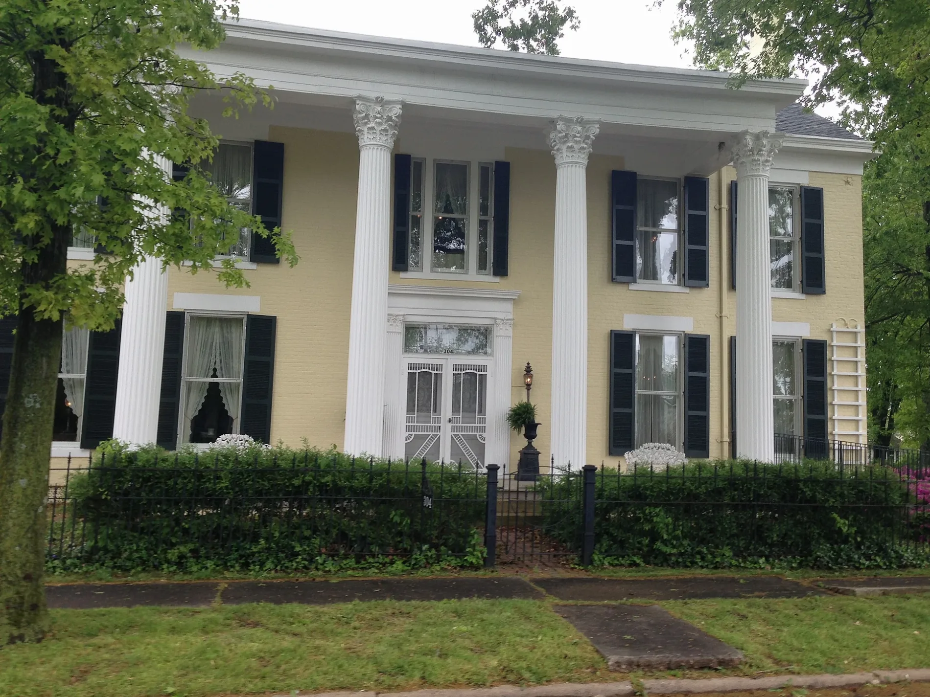
Tourist information centers
Streets nearby
Phillips Street150 ft
Stone Street250 ft
Cedar Hill Cemetery St 7350 ft
Madisonville Street400 ft
Cs-12270.1 mi
Cedar Hill Cemetery St 60.1 mi
Cs-12250.1 mi
East Shephardson Street0.1 mi
Cs-12200.2 mi
Cs-12180.2 mi
McGoodwin Avenue0.2 mi
Cs-12210.2 mi
Cedar Hill Cemetery St 80.2 mi
Cedar Hill Cemetery St 20.2 mi
East Locust Street0.2 mi
McGoodwin Court0.2 mi
Alley 170.2 mi
Grace Court0.2 mi
Cs-12190.2 mi
Grove Drive0.2 mi
Cs-1206-700.2 mi
Cs-12060.2 mi
North Franklin StreetPrinceton Tourist Welcome Center
0.2 mi
North Jefferson StreetAdsmore Museum
0.3 mi
Grace Street0.3 mi
Alley 160.3 mi
Holeman Street0.3 mi
North Chestnut Street0.3 mi
East Main StreetChargepoint, Dr. David Lee Oliver, DMD, The Globe Tavern
0.3 mi
North Mitchell Street0.3 mi
Alley 140.3 mi
North Eagle Street0.3 mi
Apartment buildings nearby
Franklin Place Senior Appartments0.3 mi
Auto repair shops nearby
Kendall AutoCare Center - Fast Lube & Oil Service0.3 mi
Banks nearby
Planters Bank0.3 mi
Buildings nearby
The Eyecare Center0.2 mi
Edward Jones0.2 mi
Princeton Tourist Welcome Center0.3 mi
Princeton Water and Wastewater0.3 mi
Cemeteries nearby
Cedar Hill Cemetery500 ft
Community centers nearby
PACS Human Services0.3 mi
VFW Post 55590.3 mi
Dry cleaners nearby
Farmers Cleaners0.3 mi
General stores nearby
Newsom's Old Mill Country Ham & General Store0.3 mi
Gift shops nearby
The Tin Roof0.3 mi
Littlebita Heather0.3 mi
Houses nearby
Adsmore0.3 mi
Police stations nearby
Princeton Police Dept0.3 mi
Restaurants nearby
Ms Piggy Pigs BBQ550 ft
Public transit map Princeton Legend
| Railway | |
| Bus | |
| Streetcar |
Bicycle map Princeton Legend
| Bike path | |
| Bike lane on roadway | |
| Cycling allowed on bus lane | |
| Bicycle street | |
| Open to cyclists | |
| Open to cyclists, good path | |
| Cycling prohibited | |
| Cobblestone |
| Long-distance bike route | (depending on scale) | |
| Long-distance bike route |
Pedestrian map Princeton Legend
| Path |
| Long-distance hiking trail | (depending on scale) | |
| Long-distance hiking trail | ||
| Pedestrians prohibited |