
South Plum Street in Princeton, Kentucky
South Plum Street in Princeton is a residential street. It runs in a northeast-southwest direction starting from North Plum Street and crosses West Main Street and Alley 4 and ends at West Washington Street. Nearby there is a tourist information. South Plum Street also exists in Estill County.
- Road Type
- residential street
- Route
- northeast-southwest
Image
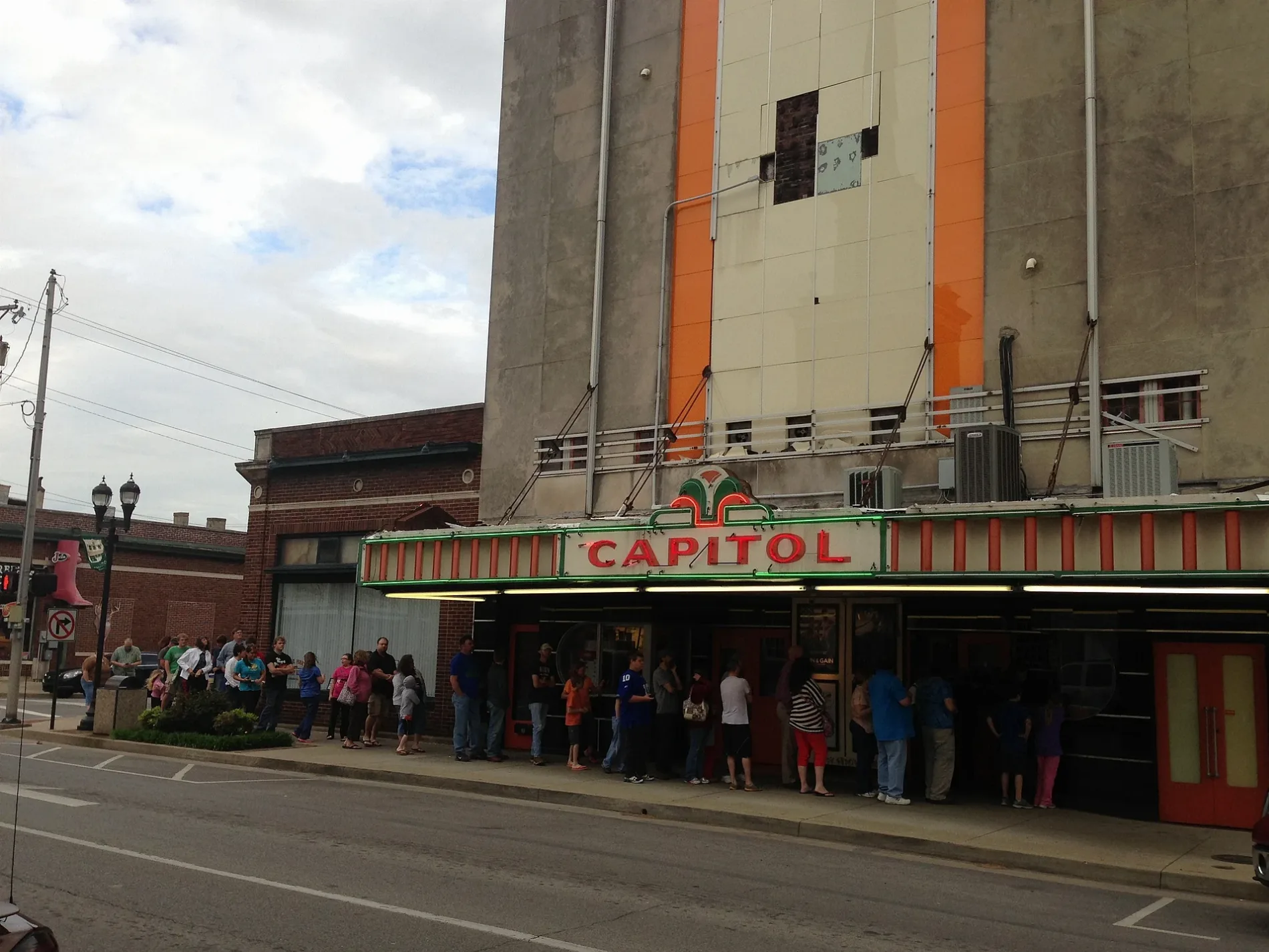
Tourist information centers
- Historic Educational Site (Marker Number: 1903). Six educational institutions have flourished here since 1860. Local citizens gave $20,000 and Dr. T.L. McNary six acres to establish Princeton College, 1860-80. Youth also served by Princeton Collegiate Inst., 1880-1911; Princeton High, 1911-23; Butler .
Streets nearby
North Plum Street300 ft
South Donnivan Street300 ft
Alley 7400 ft
West Market StreetNAPA Auto Parts
500 ft
South Cave Street0.1 mi
Alley 40.1 mi
Depot Street0.1 mi
West Washington Street0.1 mi
South Darby Street0.1 mi
North Cave StreetPrinceton First Baptist Church (Marker Number: 2195)
0.1 mi
Alley 10.1 mi
Alley 50.2 mi
West Locust Street0.2 mi
West Main StreetAnn's Silk Flower Arrangements & Gifts, Service Plus - FedEx Shipping Center, Big Boy's Barber Shop, Prohibition Art - Tattoos and Piercings, Brantley's Furniture, Feather Your Next -Linens and Stuff, Cumberland Presbyterian College (Marker Number: 1453), Ogden Memorial United Methodist Church (Marker Number: 1932), Blooms By the Brooke - Florals and Gifts, First Southern National Bank, CVS Pharmacy, Ideal Market, Honda of Princeton, F5 Auto Wash, O'Reilly Auto Parts, Hometown Smokes, Hi Nails, Morning 2 Night Delights / Whistle Stop Donuts, Dragon's Den - Trading Card and Table Top Game Store, P, Princeton Drug Store
0.2 mi
North Darby Street0.2 mi
Railroad Street0.2 mi
Alley 180.2 mi
South Seminary Street0.2 mi
Stegar Drive0.2 mi
Rose Street0.2 mi
Beverly Lane0.2 mi
North Stegar Street0.2 mi
South McNary Street0.2 mi
North McNary Street0.2 mi
Ratliff Street0.2 mi
Alley 130.3 mi
Alley 80.3 mi
Mechanic Street0.3 mi
Cox Street0.3 mi
Auto parts stores nearby
NAPA Auto Parts300 ft
Bumper to Bumper - IKT Auto Parts550 ft
Buildings nearby
Edward Jones450 ft
AT&T - Local Wire Center500 ft
The Welding Shop0.2 mi
Princeton Lumber Co.0.2 mi
Clothing stores nearby
Ziobro's Weddings & Formals0.2 mi
Commercial areas nearby
Historic Princeton Downtown Commercial District0.1 mi
Dentist's offices nearby
Miranda Dental350 ft
Florists nearby
Treasures Remembered Florist & Greenhouse0.2 mi
Funeral homes nearby
Morgan's Funeral Home0.2 mi
Places of worship nearby
First Baptist Church - Christian Life Center550 ft
Ogden Memorial Methodist Church0.1 mi
First Baptist Church0.2 mi
Restaurants nearby
BBQ0.2 mi
School buildings nearby
Butler Annex250 ft
Butler Building300 ft
Butler Gymnasium350 ft
Sports fields nearby
Butler basketball lot150 ft
Caldwell County Soccer Field450 ft
Public transit map Princeton Legend
| Railway | |
| Bus | |
| Streetcar |
Bicycle map Princeton Legend
| Bike path | |
| Bike lane on roadway | |
| Cycling allowed on bus lane | |
| Bicycle street | |
| Open to cyclists | |
| Open to cyclists, good path | |
| Cycling prohibited | |
| Cobblestone |
| Long-distance bike route | (depending on scale) | |
| Long-distance bike route |
Pedestrian map Princeton Legend
| Path |
| Long-distance hiking trail | (depending on scale) | |
| Long-distance hiking trail | ||
| Pedestrians prohibited |