
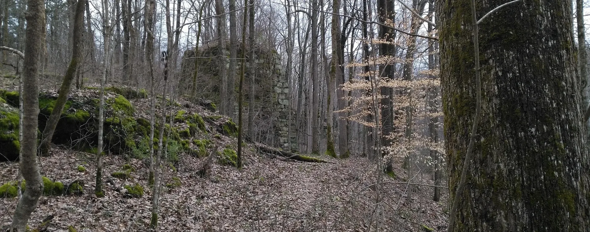
FR 231A in Estill County, Kentucky
FR 231A in Estill County is a dirt road.
- Road Type
- dirt road
Image
Streets nearby
Cottage Furnace Ruins Road0.2 mi
FR 2310.5 mi
Marbleyard Road0.7 mi
Horse Ridge Road0.8 mi
Forest Road 2056A (closed)0.9 mi
Betsy Ridge Road0.9 mi
Forest Road 2008 (closed)1.0 mi
Forest Road 2010 (closed)1.2 mi
Forest Road 2010A (closed)1.3 mi
Abney Cemetery Road1.3 mi
Forest Road 2056 (closed)1.5 mi
Lone Oak Road1.6 mi
Sunrise Valley Road1.6 mi
Marble Yard - Furnace Road1.7 mi
FR 20371.7 mi
Marcum Road1.8 mi
FR 247A1.8 mi
Ticky Fork DriveSparks Cemetery, Tickey Fork School
1.8 mi
Tanglewood Drive1.8 mi
Cr-10521.9 mi
White Oak RoadLower White Oak School, Upper White Oak School, White Oak Church, Estill County Cemetery
1.9 mi
Parks County Lane2.0 mi
Wise Farm Lane2.0 mi
FR 20362.0 mi
Abney Hollow Road2.0 mi
Chestnut Stand Lt Fk2.1 mi
Gary Lane2.1 mi
Right Fork Road2.1 mi
Meadow Lark Bottom2.1 mi
Little Hardwick Creek Road2.1 mi
Tanglewood Road2.2 mi
Marble Yard Road2.3 mi
Little Hardwick Creek Spur2.3 mi
Cr-10572.4 mi
Ballard Branch Road2.4 mi
Shallow Creek Lane2.4 mi
Breck Ballard Road2.6 mi
Chestnut Stand Road2.6 mi
Mc Intosh Road2.6 mi
Chestnut Stand Cemetery Road2.7 mi
Mc Intosh Hollow RoadPitts Mission Church
2.7 mi
Pitts RoadAntioch Cemetery, Pitts School
2.8 mi
 Public transit map Estill County Legend
 | Railway | |
| Bus | |
| Streetcar |
 Bicycle map Estill County Legend
 | Bike path | |
| Bike lane on roadway | |
| Cycling allowed on bus lane | |
| Bicycle street | |
| Open to cyclists | |
| Open to cyclists, good path | |
| Cycling prohibited | |
| Cobblestone |
| Long-distance bike route | (depending on scale) | |
| Long-distance bike route |
 Pedestrian map Estill County Legend
 | Path |
| Long-distance hiking trail | (depending on scale) | |
| Long-distance hiking trail | ||
| Pedestrians prohibited |