
Dixon Street in Henderson, Kentucky
Dixon Street in Henderson is a residential street. It runs in a southeast-northwest direction starting from South Water Street and crosses South Main Street and South Elm Street and ends at South Green Street. Nearby there is a restaurant. Dixon Street also exists in Boyd County, Harlan County and Webster County.
- Road Type
- residential street
- Route
- southeast-northwest
Image
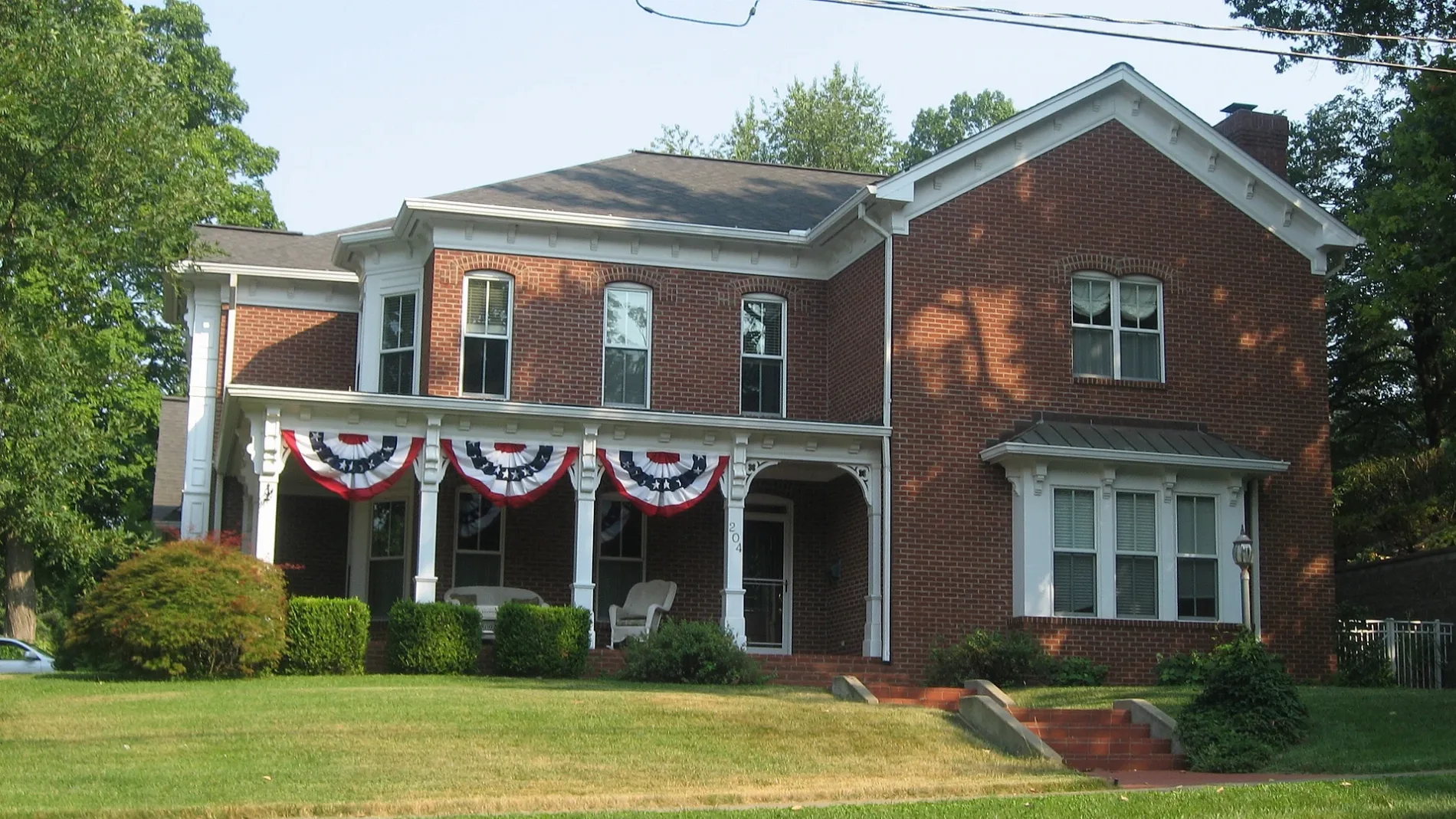
Restaurants
Streets nearby
Glass Alley0.1 mi
South Green StreetJefferson School, Dodges, Dairy Bar, Save-A-Lot, First Christian Church of Henderson, Saint Paulʼs Episcopal Church, Dollar General, Goodwill, Mr. D's, Farmers Bank and Trust, Fast Fuel, Circle K, EZ Shop
0.1 mi
Jefferson Street0.2 mi
South Water StreetLewis and Clark in Kentucky
0.2 mi
Audubon Street0.2 mi
South Ingram Street0.2 mi
South Main StreetCentral Park Fountain
0.2 mi
Towles Street0.2 mi
West Main Street0.2 mi
Clay StreetAudubon School, Sanderfur Training School
0.2 mi
Powell StreetBodega Market Luncheria & Groceries
0.3 mi
South Adams Street0.3 mi
Kriels Alley0.3 mi
Jackson Street0.3 mi
Washington StreetFirst Missionary Baptist Church
0.3 mi
Plum Street0.4 mi
Hancock Street0.4 mi
Cs-10720.4 mi
North Main StreetConfederate Raid on Newburgh, A Civil War Action, Abba's Music, Oh My Goodness at Balfour, Paisleys Gift Shop, The Gold Mine, Planters Coffeehouse, The Clothes Horse, Just Plus!, The Bank of Henderson, A Day To Remember Florist, Gallery Gifts & Bridal
0.4 mi
South Alves StreetSouth Middle School
0.4 mi
1st StreetSimon's Shoes, Alles Brothers, Concord Custom Cleaners, The Color Connection, Tacoholics, The Planet, This & That Consignment, Fast Print, Inc, Wild Turkey Cock, Popeyes
0.4 mi
North Elm StreetO'Daniel's Flower Shop, A & J Consignment, The Elm - Consignments & More, Old National Bank, Rally's, Klassy Kids, Memories Past & Present
0.4 mi
Vine StreetJohn F. Kennedy Center
0.5 mi
Chestnut Street0.5 mi
South Alvasia Street0.5 mi
Center Street0.5 mi
North Water StreetOn Deck Riverside Bar & Gril, Audubon's Mill, Good Government League, Father of the Blues, WC Handy Blues & Barbecue Festival, The Ohio River, The 1937 Flood, Steamboats, Henderson's Governors, General "Stovepipe" Johnson
0.5 mi
Cherry Street0.5 mi
Fagan Square0.5 mi
North Green StreetThe Pizza Station, Thorntons, Walgreens, Henderson Church of Christ
0.6 mi
Banks nearby
Independence Bank0.3 mi
Fifth Third Bank0.5 mi
Buildings nearby
Cafe on Water Street0.5 mi
Aruzo0.5 mi
Worsham Wedding Chapel0.6 mi
Courthouses nearby
Circuit Court Clerk0.4 mi
Fast food restaurants nearby
McDonald's0.3 mi
Industrial areas nearby
Viterra0.2 mi
Libraries nearby
Henderson County Public Library0.3 mi
Nature reserves nearby
Audubon Mill Park0.4 mi
Office buildings nearby
Dunaway's0.6 mi
Parks nearby
Doc Hosbach Tennis Complex0.3 mi
Central Park0.4 mi
Anthony Brooks Park0.4 mi
The Perch Pocket Park0.5 mi
Redbanks Riverfront Water Park0.6 mi
Places of worship nearby
Henderson’s First Baptist Church0.4 mi
Post offices nearby
Henderson Post Office0.4 mi
Variety stores nearby
Dollar Tree450 ft
 Public transit map Henderson Legend
| Railway | |
| Bus | |
| Streetcar |
 Bicycle map Henderson Legend
| Bike path | |
| Bike lane on roadway | |
| Cycling allowed on bus lane | |
| Bicycle street | |
| Open to cyclists | |
| Open to cyclists, good path | |
| Cycling prohibited | |
| Cobblestone |
| Long-distance bike route | (depending on scale) | |
| Long-distance bike route |
 Pedestrian map Henderson Legend
| Path |
| Long-distance hiking trail | (depending on scale) | |
| Long-distance hiking trail | ||
| Pedestrians prohibited |