
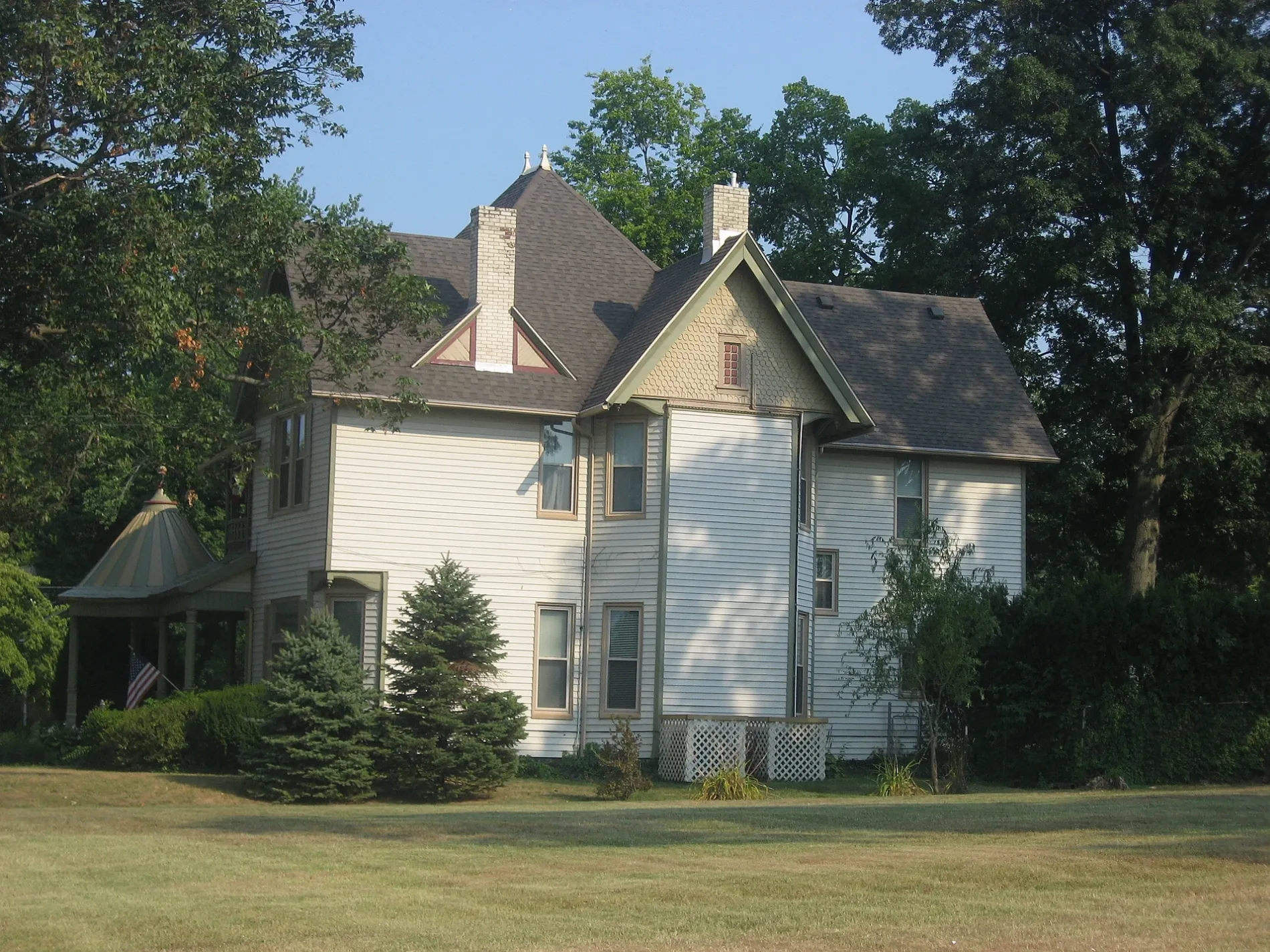
South Julia Street in Henderson, Kentucky
South Julia Street in Henderson is a residential street. It runs in a northeast-southwest direction starting from Center Street and crosses Thompson Street, Washington Street and Powell Street and ends at Clay Street.
- Road Type
- residential street
- Route
- northeast-southwest
Image
Schools
Gas stations
Pharmacies
Cafes
Fast food restaurants
Restaurants
Community centers
Copy shops
Secondhand stores
Places of worship
Supermarkets
Tourist information centers
Streets nearby
Powell StreetBodega Market Luncheria & Groceries
400 ft
Washington StreetFirst Missionary Baptist Church
550 ft
South Holloway Street0.1 mi
Thompson Street0.1 mi
South Meadow Street0.1 mi
Klutey Avenue0.1 mi
Center Street0.2 mi
South Alvasia Street0.2 mi
Pope Street0.2 mi
Rankin Avenue0.2 mi
North Julia Street0.2 mi
Harts Alley0.2 mi
Lett Street0.3 mi
Beals Alley0.3 mi
South Alves StreetSouth Middle School
0.3 mi
Clay StreetAudubon School, Sanderfur Training School
0.3 mi
Martin Luther King Jr Avenue0.3 mi
Cs-10630.3 mi
1st StreetSimon's Shoes, Alles Brothers, Concord Custom Cleaners, The Color Connection, Tacoholics, The Planet, This & That Consignment, Fast Print, Inc, Wild Turkey Cock, Popeyes
0.3 mi
Mill Street0.3 mi
Mayer Street0.3 mi
North Holloway Street0.3 mi
Center Circle0.3 mi
Clark Street0.3 mi
Forest Avenue0.3 mi
Lawndale Court0.3 mi
Cs-10720.3 mi
Henderson Station Apartment0.3 mi
Cottage Avenue0.3 mi
Winstead Avenue0.3 mi
Meadow Street0.4 mi
Cs-11290.4 mi
Gabe Street0.4 mi
Carlisle Street0.4 mi
Fagan StreetNew Jerusilum Baptist Church
0.4 mi
Holiday Court0.4 mi
Obryne Street0.4 mi
Helm Street0.4 mi
Gabes Lane0.4 mi
Grand Avenue0.4 mi
Kleymeyer Street0.4 mi
Burris Street0.4 mi
Cumnock Street0.5 mi
Loeb Street0.5 mi
Pond Street0.5 mi
Letcher Street0.5 mi
Parks nearby
East End Park0.4 mi
School buildings nearby
Central Academy0.2 mi
Water parks nearby
Water Spray Feature0.4 mi
Public transit map Henderson Legend
| Railway | |
| Bus | |
| Streetcar |
Bicycle map Henderson Legend
| Bike path | |
| Bike lane on roadway | |
| Cycling allowed on bus lane | |
| Bicycle street | |
| Open to cyclists | |
| Open to cyclists, good path | |
| Cycling prohibited | |
| Cobblestone |
| Long-distance bike route | (depending on scale) | |
| Long-distance bike route |
Pedestrian map Henderson Legend
| Path |
| Long-distance hiking trail | (depending on scale) | |
| Long-distance hiking trail | ||
| Pedestrians prohibited |