
North 23rd Street in Louisville, Kentucky
North 23rd Street in Louisville is a residential street. It runs in a northeast-southwest direction starting from Northwestern Parkway and crosses Cornwall Street, Montgomery Street and Tyler Avenue and ends at Portland Avenue. North 23rd Street also exists in McCracken County.
- Road Type
- residential street
- Route
- northeast-southwest
Image
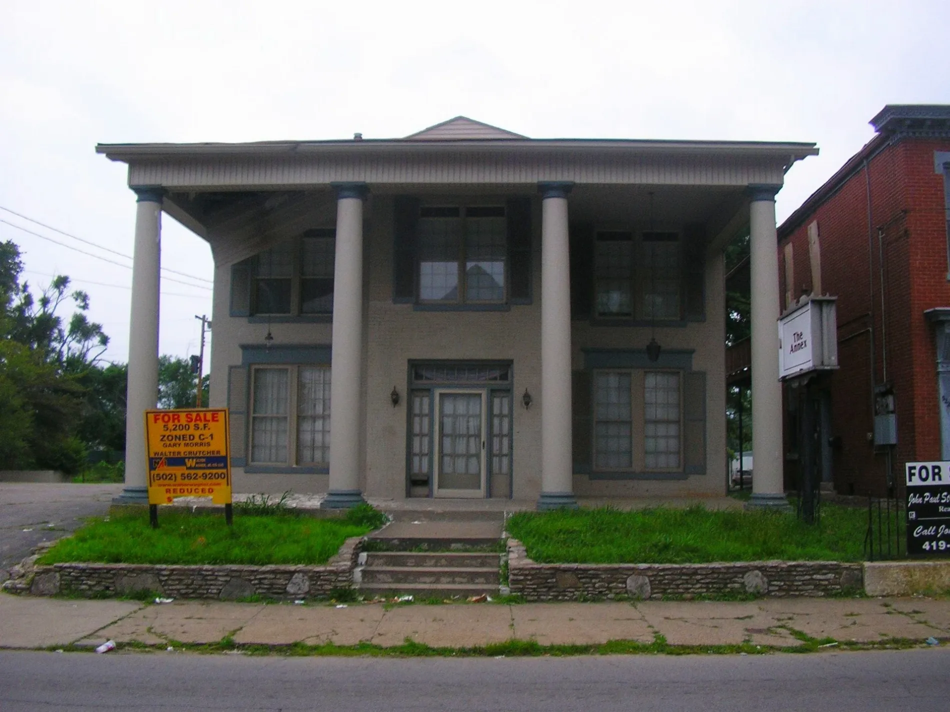
Stops
Schools
Bus stops
Streets nearby
North 24th Street24th / Slevin, Mayhurst School, Griffiths / 24th
500 ft
Cornwall Street0.1 mi
Carter Street0.1 mi
North 25th Street0.2 mi
Lannan Park RoadLannan Park Trailhead
0.2 mi
Louisville LoopCane Run @ Greenwood, Manslick Road Trailhead, 41st / Algonquin, Big Four Bridge Trailhead, Watson Lane Trailhead, Lamborne Boulevard Trailhead, Belle of Louisville, George Roger Clark
0.3 mi
North 26th Street0.3 mi
Gilligan Street0.3 mi
Locher Alley0.3 mi
Saint Xavier Street22nd / St. Xavier, Word of Faith Church
0.3 mi
Portland AvenuePortland / 27th, Portland / 22nd, The Table, Portland / 31st, Portland / 29th, Portland / Carter, Northwestern Pkwy / Portland, Portland / Family Health Center, Portland / 24th, Portland / 25th, Portland / 26th, Portland / 28th
0.3 mi
Tyler Avenue0.4 mi
North 20th Street0.4 mi
Cleveland Avenue0.4 mi
Garfield Avenue0.4 mi
North 19th Street19th / Duncan
0.4 mi
Griffiths AvenueGriffiths / 22nd, Griffiths / 23rd, Griffiths / 24th
0.4 mi
Marine Street0.4 mi
Slevin Street24th / Slevin, Slevin / 25th, Slevin / 29th, Slevin / 26th, Slevin / 28th, Slevin / 27th, Slevin / 30th
0.4 mi
North 22nd Street22nd / Griffiths, 22nd / Duncan, 22nd / Portland, 22nd / Bank, 22nd / St. Xavier, 22nd / Rowan, Western Middle Magnet School for the Visual and Permforming Arts, 22nd / Main
0.5 mi
Shippingport Drive0.5 mi
Montgomery Street0.5 mi
North 28th Street0.5 mi
North 21st Street22nd Connector / Duncan, W.J.Hodge / Rowan, Speedway
0.5 mi
Northwestern ParkwayNorthwestern Pkwy / 23rd, Northwestern Pkwy / 22nd, Northwestern / 34th
0.5 mi
Lytle Street0.5 mi
Short Street0.5 mi
North 23rd Alley0.5 mi
Owen Street0.5 mi
Buildings nearby
U.S. Marine Hospital500 ft
Clinics nearby
Family Health Centers500 ft
DaVita Dialysis0.2 mi
Commercial buildings nearby
Nelligan Hall0.3 mi
Convenience stores nearby
Circle K0.2 mi
Fast food restaurants nearby
McDonald's0.2 mi
Fire stations nearby
Louisville Engine 6 Fire Station0.2 mi
Garages nearby
Stable350 ft
Gas stations nearby
Shell0.2 mi
Laundries nearby
Laundry0.1 mi
Military areas nearby
Louisville Repair Station0.5 mi
Museums nearby
Portland Museum500 ft
Parks nearby
LaPorte Park0.2 mi
Portland Park0.4 mi
Lannan Park0.4 mi
Colonel Charles D. Young Park0.4 mi
Places of worship nearby
Love of God Baptist Church0.3 mi
Shawnee Baptist Church0.3 mi
Saint Cecilias Church0.5 mi
Schools nearby
Dolfinger School0.2 mi
Public transit map Louisville Legend
| Railway | |
| Bus | |
| Streetcar |
Bicycle map Louisville Legend
| Bike path | |
| Bike lane on roadway | |
| Cycling allowed on bus lane | |
| Bicycle street | |
| Open to cyclists | |
| Open to cyclists, good path | |
| Cycling prohibited | |
| Cobblestone |
| Long-distance bike route | (depending on scale) | |
| Long-distance bike route |
Pedestrian map Louisville Legend
| Path |
| Long-distance hiking trail | (depending on scale) | |
| Long-distance hiking trail | ||
| Pedestrians prohibited |