
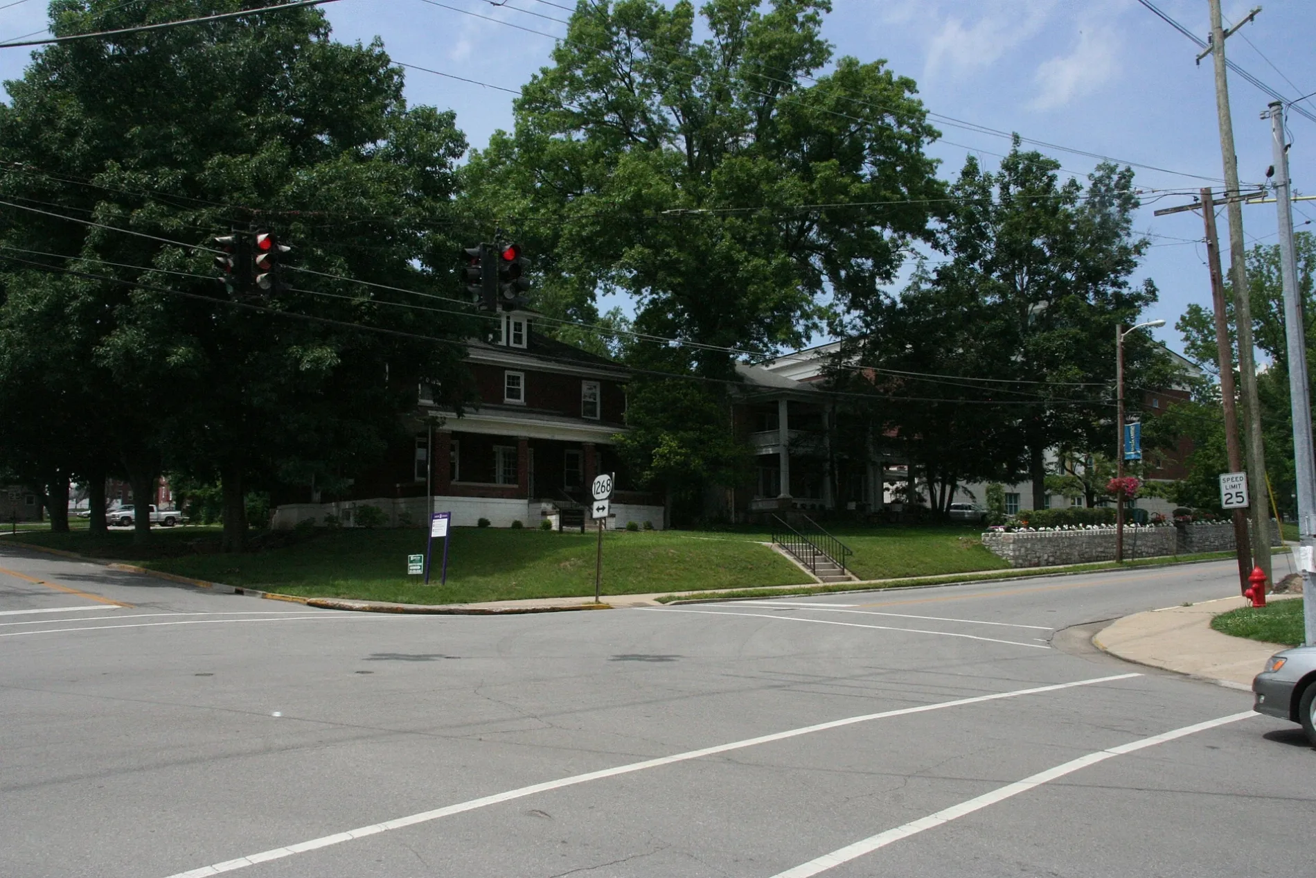
East Linden Street in Wilmore, Kentucky
East Linden Street in Wilmore is a residential street. It runs in a southeast-northwest direction starting from South Lexington Avenue and crosses South Walnut Street and ends at South Maple Street. Nearby there is a variety store.
- Road Type
- residential street
- Route
- southeast-northwest
Image
Variety stores
Streets nearby
South Walnut Street400 ft
South Maple Street0.1 mi
South Lexington Avenue0.1 mi
Hendren Way0.1 mi
North Maple Street0.2 mi
Spring Street0.2 mi
Walters Lane0.2 mi
Johnson Alley0.2 mi
Linden Court0.2 mi
Pickett Drive0.2 mi
Village Circle0.2 mi
Academy Drive0.2 mi
Rice Street0.2 mi
Charles Place0.3 mi
Lowry Lane0.3 mi
High Street0.4 mi
Antique stores nearby
Antique Center500 ft
Banks nearby
First Southern National Bank (Branch Closed)500 ft
Farmers Bank0.1 mi
United Bank0.1 mi
Buildings nearby
Physical Plant0.1 mi
Rice House0.2 mi
St. Joseph Primary Care Associates0.2 mi
Cafes nearby
Drinklings Coffee0.2 mi
Cemeteries nearby
Lowry Cemetery0.2 mi
Commercial areas nearby
Wilmore Shopping Center250 ft
Dentist's offices nearby
David A. Murphy D.M.D. - Family Dentist500 ft
Guest houses nearby
Scott Station Inn0.1 mi
Hair salons nearby
Wade's Barbershop450 ft
Clay's Barbershop0.2 mi
Houses nearby
Multicultural House - International Student Guest Room0.2 mi
Museums nearby
Wilmore Rail-Side Museum0.2 mi
Places of worship nearby
Wilmore United Methodist Church550 ft
Mt. Freedom Baptist Church0.1 mi
Wilmore Presbyterian Church0.1 mi
Extreme Life Fellowship0.2 mi
Police stations nearby
Wilmore Police Station0.2 mi
Post offices nearby
Wilmore Post Office0.1 mi
Railways nearby
CNO&TP First District0.3 mi
NS CNO&TP North District0.3 mi
Restaurants nearby
Great Wall450 ft
Solomon's Porch550 ft
School buildings nearby
Providence High School0.2 mi
Technical colleges nearby
Alumni House0.1 mi
Town halls nearby
Wilmore City Hall0.2 mi
Universities nearby
Asbury Theological Seminary0.1 mi
Newton W. Grice Hall0.2 mi
Sherman Thomas Student Center0.2 mi
University buildings nearby
Married Housing0.2 mi
Public transit map Wilmore Legend
| Railway | |
| Bus | |
| Streetcar |
Bicycle map Wilmore Legend
| Bike path | |
| Bike lane on roadway | |
| Cycling allowed on bus lane | |
| Bicycle street | |
| Open to cyclists | |
| Open to cyclists, good path | |
| Cycling prohibited | |
| Cobblestone |
| Long-distance bike route | (depending on scale) | |
| Long-distance bike route |
Pedestrian map Wilmore Legend
| Path |
| Long-distance hiking trail | (depending on scale) | |
| Long-distance hiking trail | ||
| Pedestrians prohibited |