
West Main Street in Beattyville, Kentucky
West Main Street in Beattyville is a local road. It runs in a southeast-northwest direction and crosses Sewer Plant Road, Cs-1033, Happy Top Road, Boone Avenue, Short Street, Lower Creek Road, Arlington Avenue and Railroad Street and ends at Main Street, while the other end is a cul-de-sac. This street is part of the highway "52". West Main Street also exists in Fayette County, Campbell County, Livingston County, Union County and Gallatin County.
- Road Type
- local road
- Route
- southeast-northwest
Image
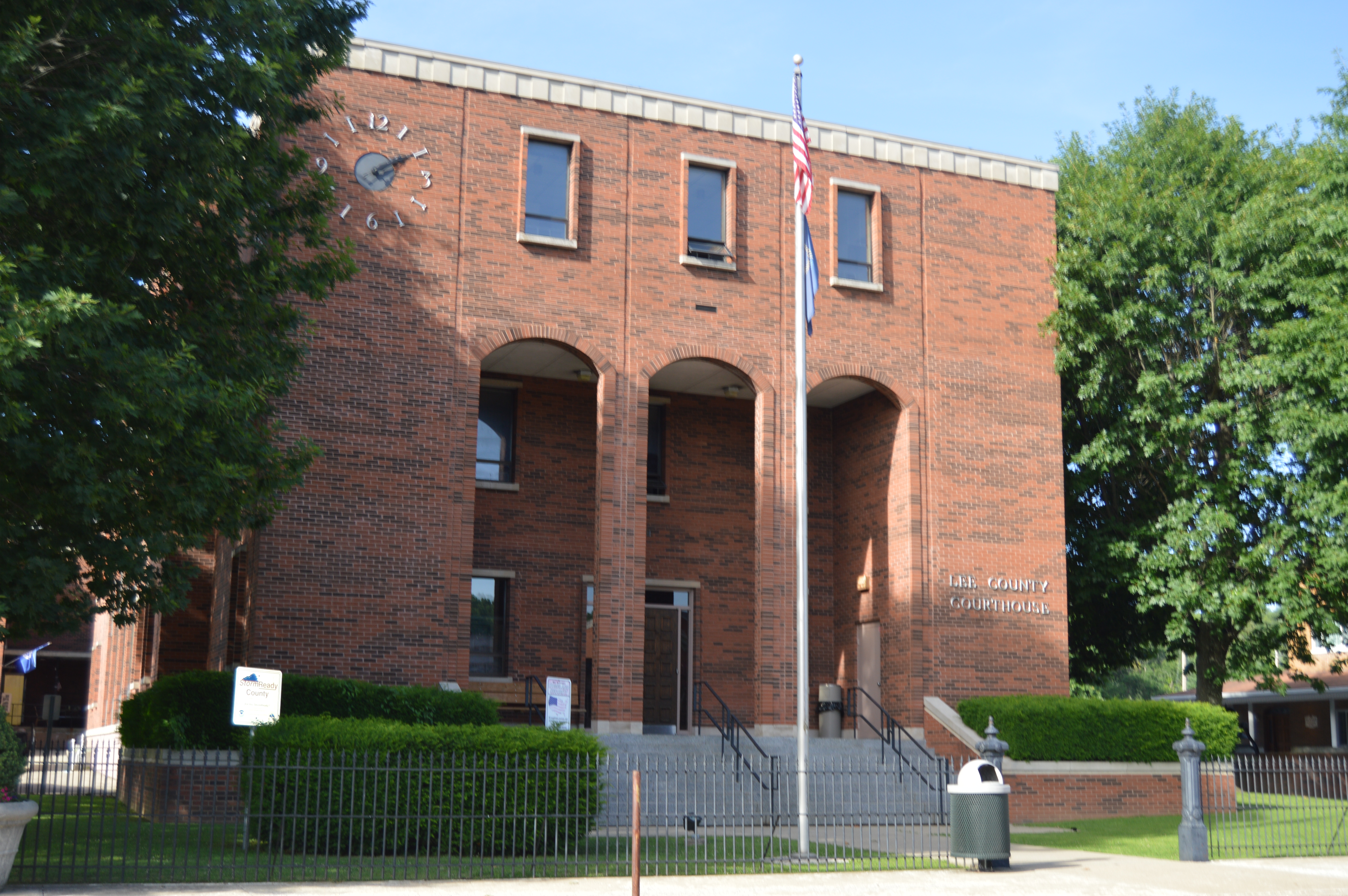
Streets nearby
Arlington Avenue0.1 mi
Fairgrounds Ridge Road0.1 mi
Lower Creek Road0.1 mi
Hurst Alley0.1 mi
Brewer Lane0.2 mi
Elm Street0.2 mi
Railroad Street0.2 mi
Walnut Street0.2 mi
Vine Street0.2 mi
Woodford Avenue0.2 mi
Madison Street0.2 mi
Center Street0.2 mi
Wade Road0.3 mi
Short Street0.3 mi
Locust Street0.3 mi
Main StreetLos Two Brothers
0.3 mi
Back Road0.3 mi
Begley Street0.3 mi
Proctor Bottom Road0.4 mi
Lexington Avenue0.4 mi
Historical Center Road0.4 mi
Lee County Senior Citizens Center0.4 mi
Carlisle Avenue0.4 mi
Silver Creek Road0.4 mi
Lee Avenue0.4 mi
Boone Avenue0.4 mi
Church Street0.5 mi
Pryse Boulevard0.5 mi
Valley Road0.5 mi
Best Place Boulevard0.5 mi
Happy Top Walking Trial0.5 mi
Mirey Creek Road0.5 mi
Cs-10330.5 mi
Lee County Voc-Tech School0.6 mi
Buildings nearby
AM,LLC350 ft
Lee County Habitat for Humanity0.2 mi
Beattyville Horton's Florist0.2 mi
Funeral Home0.3 mi
Community Center0.5 mi
Commercial buildings nearby
Main Street Trading Post0.2 mi
H & H Tires0.3 mi
Parks nearby
Happy Top0.5 mi
Places of worship nearby
Queen of All Saints Catholic Church0.1 mi
Beattyville Christian Church0.3 mi
Railways nearby
EK Subdivision0.1 mi
Rivers nearby
Crystal Creek0.3 mi
Sports fields nearby
Delver Baseball Field0.3 mi
Reese Baseball Field0.4 mi
Streams nearby
Silver Creek0.2 mi
Public transit map Beattyville Legend
| Railway | |
| Bus | |
| Streetcar |
Bicycle map Beattyville Legend
| Bike path | |
| Bike lane on roadway | |
| Cycling allowed on bus lane | |
| Bicycle street | |
| Open to cyclists | |
| Open to cyclists, good path | |
| Cycling prohibited | |
| Cobblestone |
| Long-distance bike route | (depending on scale) | |
| Long-distance bike route |
Pedestrian map Beattyville Legend
| Path |
| Long-distance hiking trail | (depending on scale) | |
| Long-distance hiking trail | ||
| Pedestrians prohibited |