
Baker, Louisiana
Baker is located in East Baton Rouge Parish. About 12,455 people live here (as of 2020). Between 2010 and 2020, the population declined from 13,895 to 12,455. The region is at 2408 meters above sea level. The area covers about 21.5 square kilometers. There are about 273 streets in Baker. The ZIP codes are 70704–70714. Baker is suburb city of Baton Rouge, located in East Baton Rouge Parish, Louisiana, United States. Among other things, Baker has schools and banks. More information at www.lawrenceburgtn.gov.
Baker – Facts
| Population | 12455 |
|---|---|
| Area | 21.5 km² |
| Elevation | 2408 m |
| Located in | East Baton Rouge Parish |
| Postal code | 70704 |
| Country | United States |
| Official name | Baker |
| Website | http://www.lawrenceburgtn.gov/ |
Data source: Wikidata (CC0)
Photos from Baker
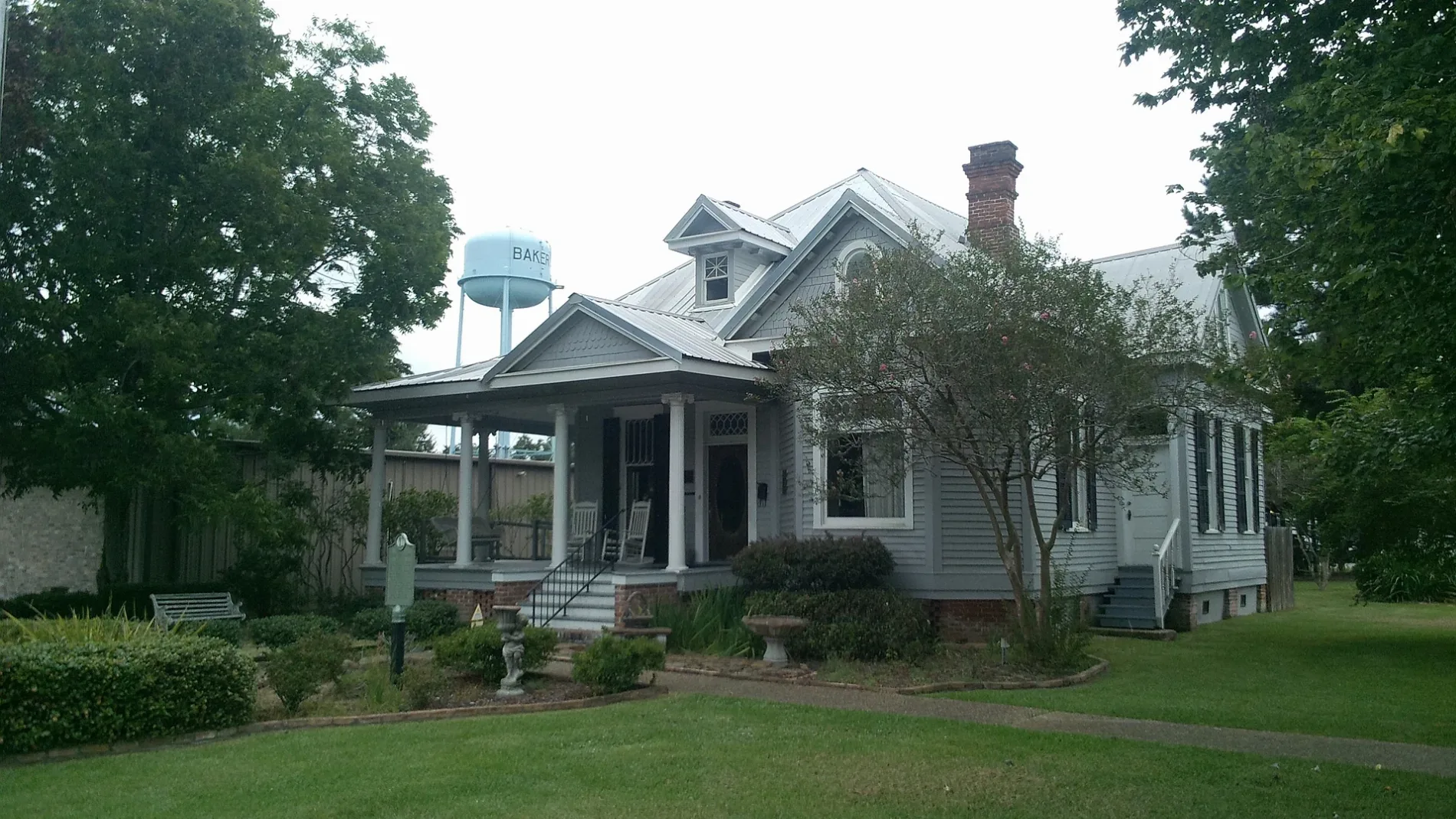
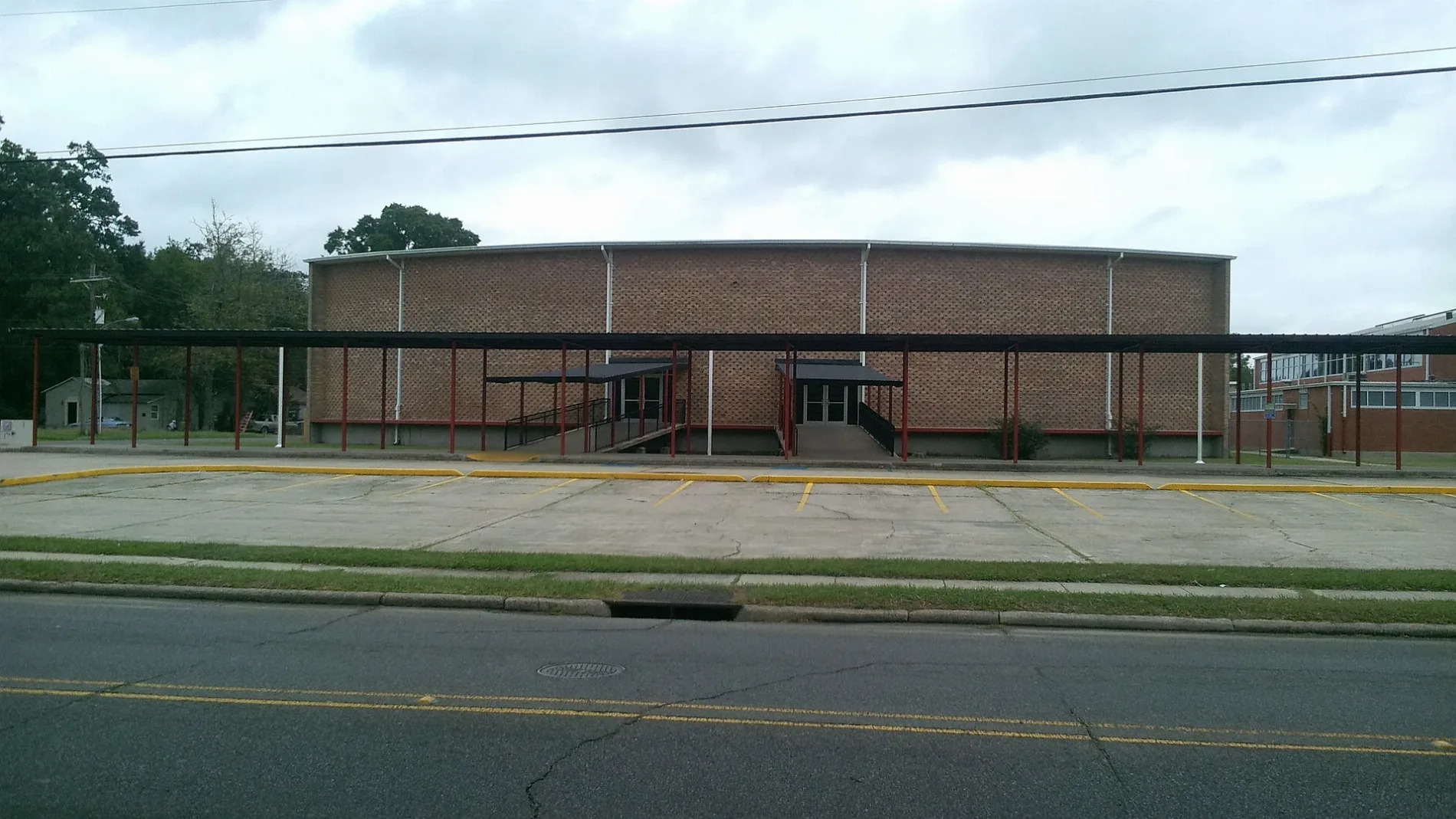
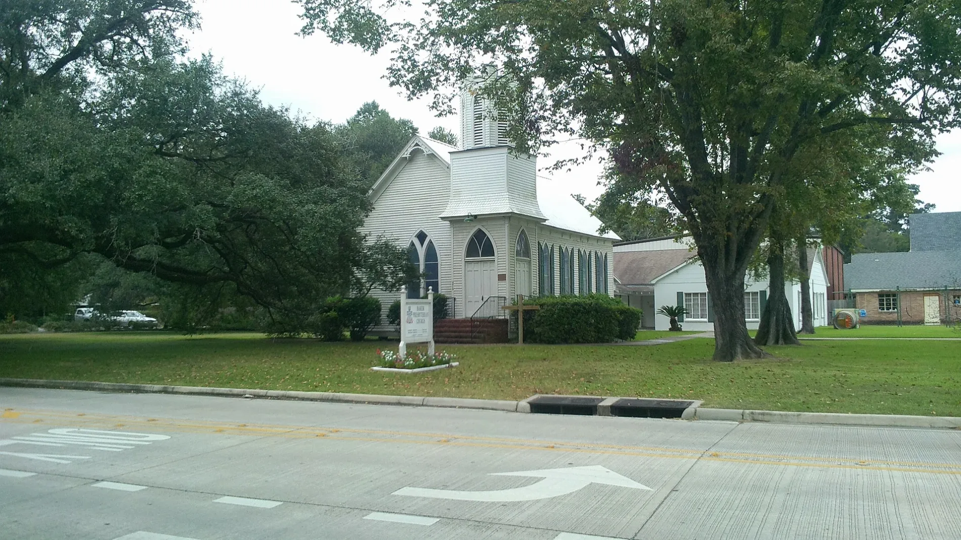
Streets in Baker, Louisiana
Streets
Main Street
McDonald's
Scotlandville-Zachary Highway
Plank RoadMcDonald's
Thomas RoadHamilton's Headstones Co.
Groom RoadBaker, Baker High School
Lavey LaneFeliciana, Redeemer Lutheran Church, Baker Fire Department Station 21
Alabama Street
Baker Boulevard
Twin Oaks Drive
Harding StreetHarding Street Baptist Church
Ray Weiland DriveBakerfield, Baker Post Office
South StreetBakerfield Elementary School
Clark StreetMount Vernon Church Number 2
Washington StreetBaker Fire Department Station 20
Chamberlain AvenueMount Vernon Church Number 1
Camelia AvenueFirst United Methodist Church of Baker
Mississippi StreetBaker Presbyterian Church
Adair Avenue
North Magnolia Drive
Wimbish Drive
Grant Street
Byfaul Avenue
Wedgewood Drive
Roosevelt Street
Algoa AvenueParkwood Terrace
Carolyn DriveWyatt Subdivision
Mitchell Street
Shilo Street
Jacquelyn Drive
Alba Drive
Melban Street
West Azalea Avenue
Azie Avenue
Greenwood Lane
Ben Williams Lane
Woodward Drive
North Day Drive
Gayden Avenue
Weston Avenue
Buffet Street
John Marks
Ewell Boulevard
Paola StreetParkridge
Davis Street
Fourchon Drive
North Morvant Place
Winside Drive
West Buffwood Drive
Leland Avenue
Manhatten Drive
Shere Drive
Day Drive
East Tigre Chenes Court
Georgia Street
Daniels Street
Hope Street
Boxwood Drive
West Shilo Drive
Cypress Drive
Patricia Street
Ashland Street
Debra Drive
Sunshine Drive
Clermont Street
Arena Drive
Hickory Drive
West Chapeau Drive
Longvue Drive
Sprucewood Court
Cadiz Drive
Paulfor Street
Hays Street
Sandy Drive
Harrison Street
College Avenue
Van Buren Street
Rue de Valeur Place
Brant Drive
Chipley Street
Chemin Drive Public transit map Baker Legend
| Railway | |
| Bus | |
| Streetcar |
 Bicycle map Baker Legend
| Bike path | |
| Bike lane on roadway | |
| Cycling allowed on bus lane | |
| Bicycle street | |
| Open to cyclists | |
| Open to cyclists, good path | |
| Cycling prohibited | |
| Cobblestone |
| Long-distance bike route | (depending on scale) | |
| Long-distance bike route |
 Pedestrian map Baker Legend
| Path |
| Long-distance hiking trail | (depending on scale) | |
| Long-distance hiking trail | ||
| Pedestrians prohibited |