
Monroe Avenue in Baton Rouge, Louisiana
Monroe Avenue in Baton Rouge is a residential street. It runs in an east-west direction starting from Plank Road and crosses North 26th Street, North 28th Street and North 30th Street and ends at North Acadian Thruway West. Nearby there is a place of worship. Monroe Avenue also exists in Claiborne Parish.
- Road Type
- residential street
- Route
- east-west
Image
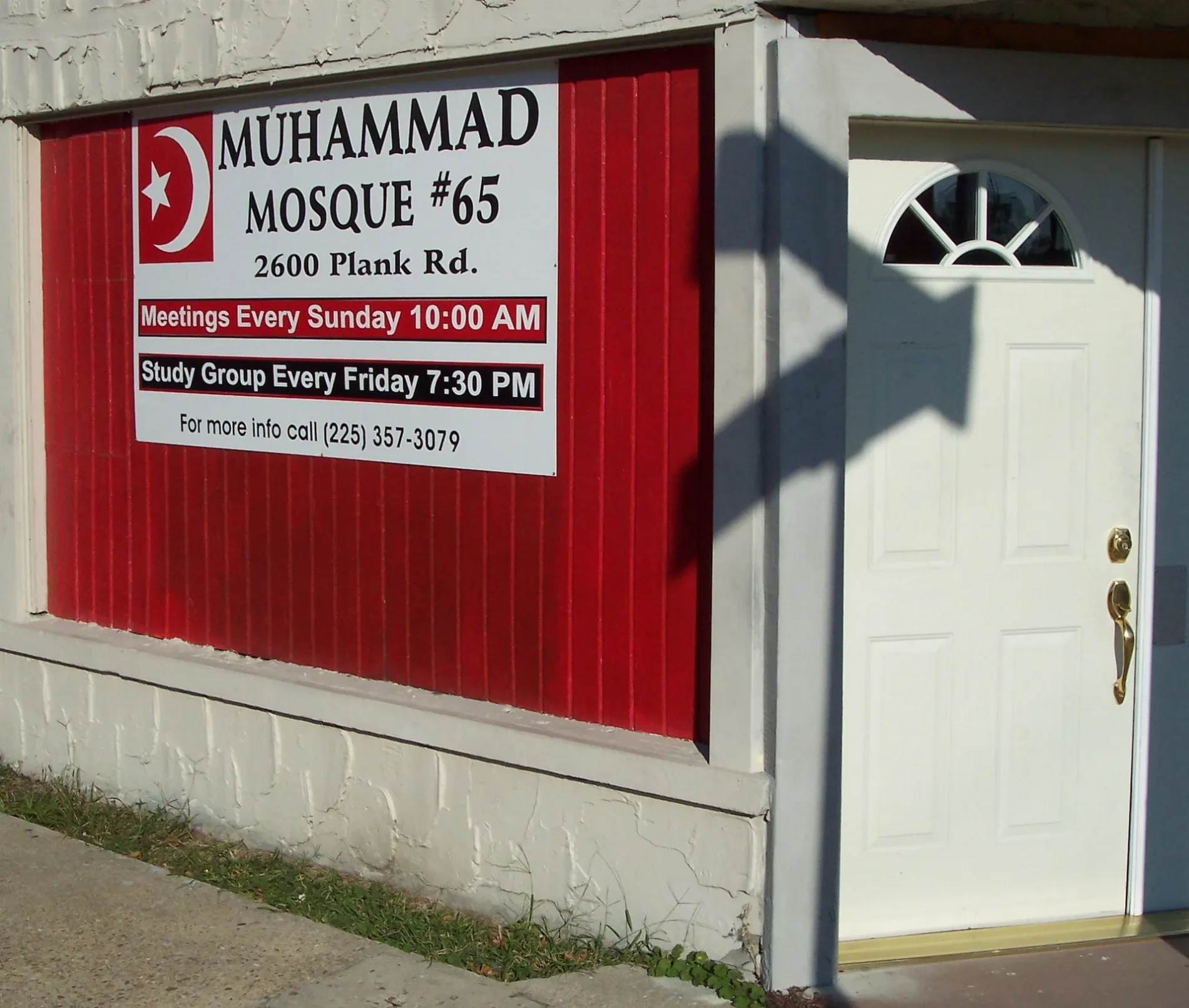
Places of worship
Streets nearby
Duke StreetBaton Rouge Terrace
550 ft
Seneca StreetStandard Heights
0.2 mi
Choctaw Drive0.2 mi
Jackson AvenueBelfort
0.2 mi
Madison AvenueCommunity School for Apprenticeship Learning
0.2 mi
North 28th StreetPark Elementary School
0.3 mi
Fairfields AvenueGreater New Guide Baptist Church, Belfair, Berean Seventh-day Adventist Church, Belfair Church, Fairfields @ Foster
0.3 mi
Plank RoadBaton Rouge Police Department First District, Howell
0.3 mi
Chippewa StreetScenic Hwy @ Chippewa St, Standard Heights
0.3 mi
North Acadian Thruway EastEden Park, N. Acadian @ Winbourne Ave
0.3 mi
North Acadian Thruway WestTrue Value
0.3 mi
Dalton StreetHighland Gardens
0.3 mi
Wenonah Street0.3 mi
Washington Avenue0.3 mi
Jefferson Avenue0.4 mi
North 37th StreetGreenville
0.4 mi
Brady Street0.4 mi
Tecumseh Street0.4 mi
Osceola Street0.4 mi
Ella Street0.4 mi
North 38th StreetEast Baton Rouge Laboratory Academy School
0.4 mi
Ontario StreetChurch Point Ministries
0.4 mi
Adams Avenue0.4 mi
North 30th StreetProgress
0.4 mi
North 31st Street0.5 mi
North 29th Street0.5 mi
Lula Avenue0.5 mi
Hiawatha Street0.5 mi
Canonicus Street0.5 mi
Iroquois Street0.5 mi
North 27th StreetBogan
0.5 mi
Osage Street0.5 mi
Martin Luther King Jr Memorial Freeway0.5 mi
North 39th Street0.5 mi
Erie StreetChurch Point Ministry Christian Academy
0.5 mi
North 26th Street0.5 mi
Gus Young AvenueGus Young Ave @ Columbus Dunn, Baton Rouge Fire Department Station 6
0.5 mi
Bogan Walk0.6 mi
North 25th Street0.6 mi
Auto repair shops nearby
Vannak Automotive0.2 mi
Buildings nearby
Roy Carter Realty0.3 mi
Buddy Stewarts Music Foundation0.4 mi
Car dealerships nearby
LM Motors0.2 mi
Car washes nearby
Robo Wash0.2 mi
Convenience stores nearby
Acadian Food Mart0.2 mi
Parks nearby
Acadian Thruway Park0.2 mi
Pubs nearby
JC Bar & Lounge0.1 mi
Retail buildings nearby
Dee's Blue Box0.1 mi
Tire dealers nearby
Tire Medic0.2 mi
Public transit map Baton Rouge Legend
| Railway | |
| Bus | |
| Streetcar |
Bicycle map Baton Rouge Legend
| Bike path | |
| Bike lane on roadway | |
| Cycling allowed on bus lane | |
| Bicycle street | |
| Open to cyclists | |
| Open to cyclists, good path | |
| Cycling prohibited | |
| Cobblestone |
| Long-distance bike route | (depending on scale) | |
| Long-distance bike route |
Pedestrian map Baton Rouge Legend
| Path |
| Long-distance hiking trail | (depending on scale) | |
| Long-distance hiking trail | ||
| Pedestrians prohibited |