
Picardy Avenue in Baton Rouge, Louisiana
Picardy Avenue in Baton Rouge is a local road and runs in an east-west direction starting from Bluebonnet Boulevard. Nearby there is among others a dentist office.
- Road Type
- local road
- Speed Limit
- 35 mph
- Route
- east-west
Image
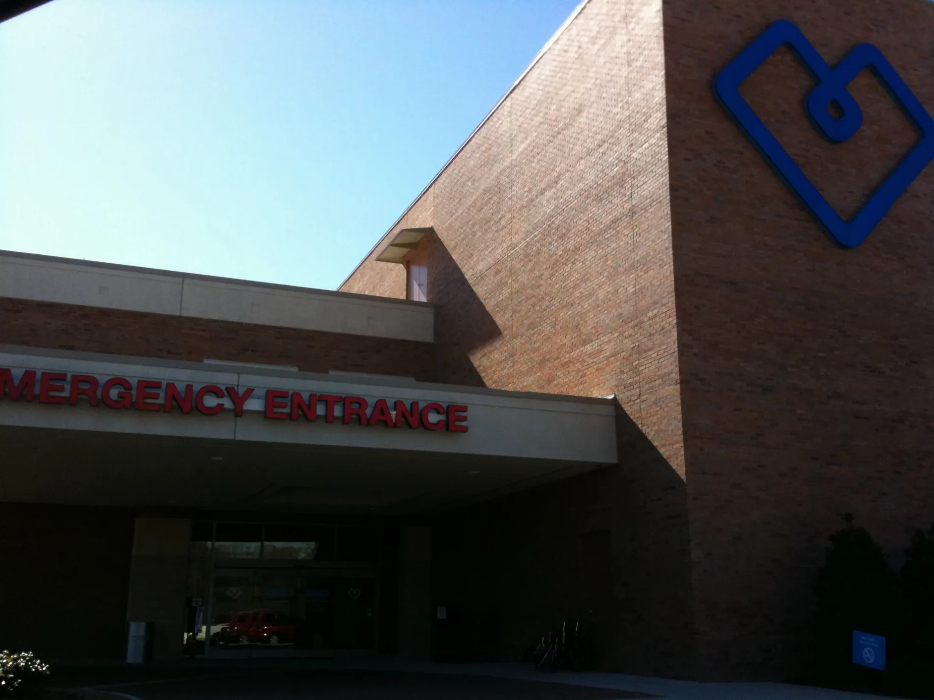
Dentist offices
Streets nearby
Anselmo Lane0.2 mi
Myrtle Bluff Drive0.2 mi
Crest Court0.3 mi
Bella Court0.3 mi
Astin Court0.3 mi
Summa CourtCardiovascular Institute
0.3 mi
Myrtle Grove Drive0.4 mi
Corsica Avenue0.4 mi
Kaylynn Avenue0.4 mi
Kodiak Drive0.4 mi
Madeira Drive0.4 mi
Butter Creek Lane0.4 mi
Bluebonnet BoulevardCVS Pharmacy, Izzo's Illegal Burrito, Wendy's, Domino's, Mi Padre's Mexican Grill and Cantina, Subway, Smalls Sliders, L.A. Bikini Sugar Hair Removal, Buffalo Wild Wings, The UPS Store, Nino's, Walgreens, Circle K, Sherwin-Williams
0.5 mi
Samoa Avenue0.5 mi
Bermuda Avenue0.5 mi
Blair Lane0.5 mi
Russell Lane0.5 mi
Midway Drive0.5 mi
Summa Avenue0.6 mi
Everett Lane0.6 mi
Constantin Boulevard0.6 mi
Apartment buildings nearby
Bluebonnet Towers0.5 mi
Clinics nearby
Ochsner Health Center – Summa0.2 mi
Hanger Clinic0.4 mi
Commercial buildings nearby
Zoe M. Vance Teleproduction Center0.4 mi
Hogan Warehouse0.5 mi
Fast food restaurants nearby
Burger King0.3 mi
Hotels nearby
Renaissance Baton Rouge Hotel0.3 mi
TownePlace Suites Baton Rouge South0.3 mi
Hyatt Place Baton Rouge/I-100.4 mi
Jewelry stores nearby
Jared0.4 mi
Places of worship nearby
Family Worship Center0.5 mi
Railways nearby
CPKC New Orleans Subdivision0.3 mi
Residential areas nearby
Myrtle Grove0.2 mi
The Heights at Picardy0.3 mi
Village Woods0.4 mi
Myrtle Bluff0.4 mi
Parklyn Chase Condominiums0.4 mi
Restaurants nearby
J Alexanders0.3 mi
Pluckers Wing Bar0.3 mi
King Buffet0.3 mi
Copeland's0.4 mi
Red Lobster0.5 mi
Shopping malls nearby
Mall of Louisiana0.4 mi
Social facilities nearby
Carrington Place0.5 mi
Streams nearby
Ward Creek0.5 mi
Other nearby
Baton Rouge0.1 mi
Dawson Creek Substation0.2 mi
Baton Rouge General Medical Center Heliport0.2 mi
Public transit map Baton Rouge Legend
| Railway | |
| Bus | |
| Streetcar |
Bicycle map Baton Rouge Legend
| Bike path | |
| Bike lane on roadway | |
| Cycling allowed on bus lane | |
| Bicycle street | |
| Open to cyclists | |
| Open to cyclists, good path | |
| Cycling prohibited | |
| Cobblestone |
| Long-distance bike route | (depending on scale) | |
| Long-distance bike route |
Pedestrian map Baton Rouge Legend
| Path |
| Long-distance hiking trail | (depending on scale) | |
| Long-distance hiking trail | ||
| Pedestrians prohibited |