
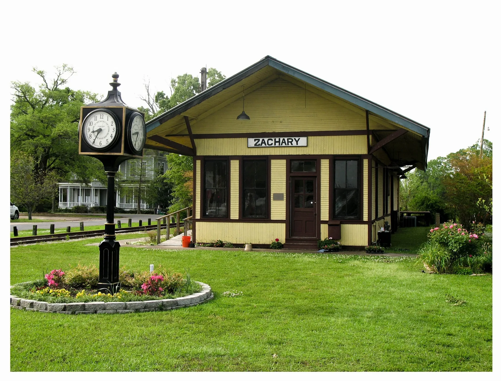
High Street in Zachary, Louisiana
High Street in Zachary is a main road and it runs in a southeast-northwest direction starting from Church Street and crosses Baker Avenue and ends at Main Street. Nearby there is a restaurant. High Street also exists in Webster Parish, East Feliciana Parish, Terrebonne Parish, Natchitoches Parish and Ouachita Parish.
- Road Type
- main road
- Route
- southeast-northwest
Image
Restaurants
Streets nearby
West Central AvenueZachary Train Depot
0.1 mi
West Mae Street0.1 mi
Main StreetZachary, Zachary Police Department - Records Clerk, Zachary Mayor's Office, Zachary Volunteer Fire / Rescue Station 80, Waffle House, Cricket Wireless, AT&T, Sonic, Burger King, Exxon, McDonald's, Fred
0.1 mi
Church StreetZachary Presbyterian Church, Trinity Christian Academy School, Little Star Baptist Church, Zachary Branch Library
0.1 mi
East Central AvenueZachary Fire Department
0.1 mi
42nd StreetFirst Baptist Church, First Baptist Preschool
0.1 mi
Loudon Street0.2 mi
Bronco Lane0.2 mi
Florida Street0.2 mi
Virginia Street0.2 mi
41st Street0.2 mi
Young StreetZachary United Methodist Church
0.2 mi
Mills Street0.2 mi
Cobb Street0.2 mi
Lee Street0.2 mi
Marshall Street0.3 mi
North Street0.3 mi
40th Street0.3 mi
Westwood Drive0.3 mi
Louise Street0.3 mi
Bennett Street0.3 mi
Lois Drive0.3 mi
Bozeman Street0.3 mi
Fleming Street0.3 mi
Ada Street0.3 mi
Lynn Street0.3 mi
Stewart Street0.3 mi
Morgan Lane0.3 mi
Cherry Court0.4 mi
Locke Street0.4 mi
June Street0.4 mi
Iris Street0.4 mi
Lane Avenue0.4 mi
Ridgeway Street0.4 mi
Mae Street0.4 mi
Kennedy Drive0.4 mi
Mc Hugh Drive0.4 mi
Teri Street0.5 mi
Zachary-Slaughter Highway0.5 mi
Kim Street0.5 mi
Rankin Street0.5 mi
Saint Louis Street0.5 mi
Scotlandville-Zachary HighwayTake 5 Oil Change, Walgreens
0.6 mi
Fast food restaurants nearby
Taco Bell0.5 mi
Hotels nearby
Holiday Inn Express & Suites Baton Rouge North0.5 mi
Places of worship nearby
Saint John the Baptist Catholic Church0.3 mi
School buildings nearby
Zachary High School0.3 mi
Supermarkets nearby
Winn-Dixie0.5 mi
Other nearby
Zachary Substation400 ft
Public transit map Zachary Legend
| Railway | |
| Bus | |
| Streetcar |
Bicycle map Zachary Legend
| Bike path | |
| Bike lane on roadway | |
| Cycling allowed on bus lane | |
| Bicycle street | |
| Open to cyclists | |
| Open to cyclists, good path | |
| Cycling prohibited | |
| Cobblestone |
| Long-distance bike route | (depending on scale) | |
| Long-distance bike route |
Pedestrian map Zachary Legend
| Path |
| Long-distance hiking trail | (depending on scale) | |
| Long-distance hiking trail | ||
| Pedestrians prohibited |