
Zachary, Louisiana
Zachary is located in East Baton Rouge Parish. About 19,316 people live here (as of 2020). Between 2010 and 2020, the population grew from 14,960 to 19,316. The region is at 31 meters above sea level. The area covers about 62.1 square kilometers. There are about 529 streets in Zachary. The region was founded in 1889. The ZIP codes are 70791. The dialing code is 225. Zachary is city in East Baton Rouge Parish, Louisiana, United States. Among other things, Zachary has restaurants, museums, schools and pharmacies. More information at www.cityofzachary.org.
Zachary – Facts
| Population | 19316 |
|---|---|
| Area | 62.1 km² |
| Year built | 1889 |
| Elevation | 31 m |
| Located in | East Baton Rouge Parish |
| Postal code | 70791 |
| Country | United States |
| Official name | Zachary |
| Website | https://www.cityofzachary.org/ |
Data source: Wikidata (CC0)
Photos from Zachary
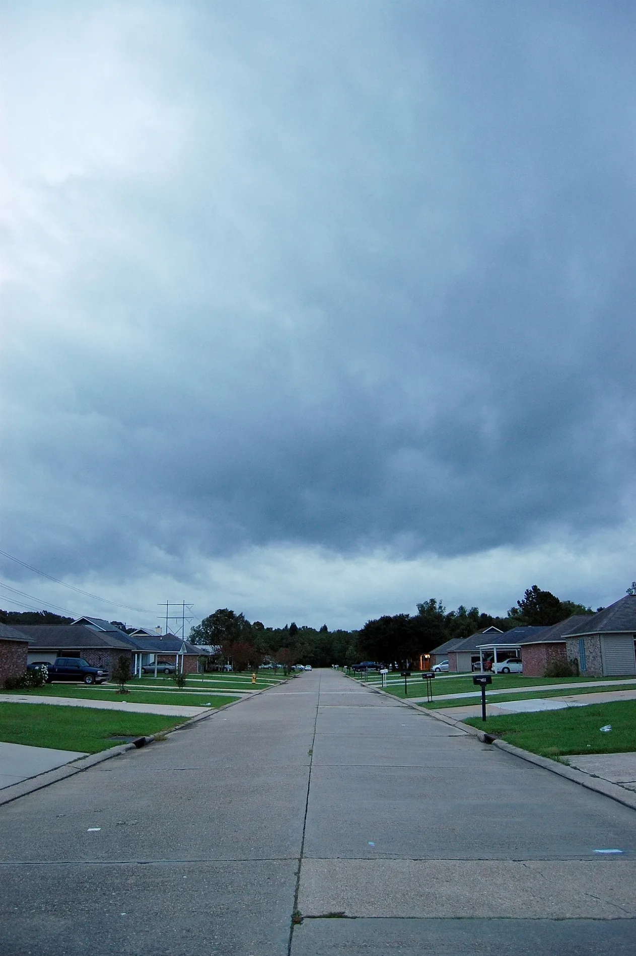
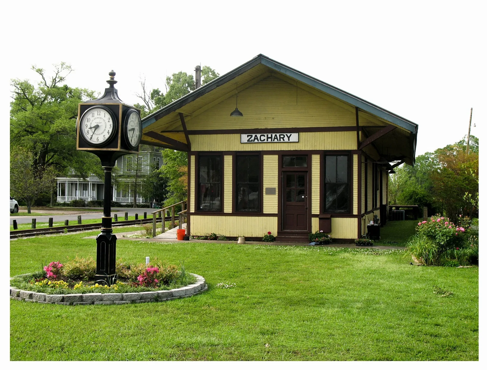
Streets in Zachary, Louisiana
Streets
Main Street
Zachary, Zachary Police Department - Records Clerk, Zachary Mayor's Office, Zachary Volunteer Fire / Rescue Station 80, Waffle House, Cricket Wireless, AT&T, Sonic, Burger King, Exxon, McDonald's, Fred
Church StreetZachary Presbyterian Church, Trinity Christian Academy School, Little Star Baptist Church, Zachary Branch Library
Scotlandville-Zachary HighwayTake 5 Oil Change, Walgreens
42nd StreetFirst Baptist Church, First Baptist Preschool
Bod Odom DriveMurphy Express
Saul AvenueZachary Volunteer Fire / Rescue Station 81
Zachary Deerford RoadCypress Grove Church
Flonacher RoadZachary Volunteer Fire / Rescue Station 82
Old Weis RoadNew Pilgrim Baptist Church
Plank RoadEastside Baptist Church
East Central AvenueZachary Fire Department
West Central AvenueZachary Train Depot
Young StreetZachary United Methodist Church
Hemlock StreetZachary Elementary School
High StreetPizza Hut
West Park Drive
Queen's Carriage Street
Fire Station Road
June Street
Nelson Street
Teri Street
Sandy Creek Lane
Rue Lierre Street
Black Birch Avenue
Memorial Square
Rollins Road
Cherry Street
Windwood Drive
Roosevelt Street
Avenue Y
Driftwood
Bozeman Street
South Turnberry Avenue
Lakeridge Drive
Westwood Drive
Americana Boulevard
West Mae Street
Florida Street
Audubon Lakes
Foster Creek Court
White Oak Street
North Cedar Street
Bond Street
Arceneaux Avenue
Gloria Street
Alice Street
Royal Aberdeen Avenue
Live Oak Trace
Cottonwood Street
Frank Thompson Road
Meadow Lake Drive
Old Scenic HighwayPlains
Ramey Drive
Old Slaughter Road
Avenue B
Shady Bond Court
Cage Street
Pointe Avenue
Plainsknoll Ave
Camelia Street
Moss Trail Drive
Mills Street
Cypress Cove
Lakecrest Drive
Oak Alley
Rose Street
Brady Avenue
Hunters Point Drive
Hazel Street
Deer Haven Drive
Redbud Street
Travis Street
Karen Elizabeth Drive
Bogie Drive
Chapel Hill RowGolf courses
Residential areas
 Public transit map Zachary Legend
| Railway | |
| Bus | |
| Streetcar |
 Bicycle map Zachary Legend
| Bike path | |
| Bike lane on roadway | |
| Cycling allowed on bus lane | |
| Bicycle street | |
| Open to cyclists | |
| Open to cyclists, good path | |
| Cycling prohibited | |
| Cobblestone |
| Long-distance bike route | (depending on scale) | |
| Long-distance bike route |
 Pedestrian map Zachary Legend
| Path |
| Long-distance hiking trail | (depending on scale) | |
| Long-distance hiking trail | ||
| Pedestrians prohibited |