
Grambling, Louisiana
Grambling is located in Lincoln Parish. About 5,239 people live here (as of 2020). Between 2010 and 2020, the population grew from 4,949 to 5,239. The region is at 939 meters above sea level. There are about 195 streets in Grambling. The ZIP codes are 71245. The dialing code is 318. Grambling is suburb city of Ruston, located in Lincoln Parish, Louisiana, United States.
Grambling – Facts
| Population | 5239 |
|---|---|
| Area | 5.9 |
| Elevation | 939 m |
| Located in | Lincoln Parish |
| Postal code | 71245 |
| Country | United States |
| Official name | Grambling |
Data source: Wikidata (CC0)
Photos from Grambling
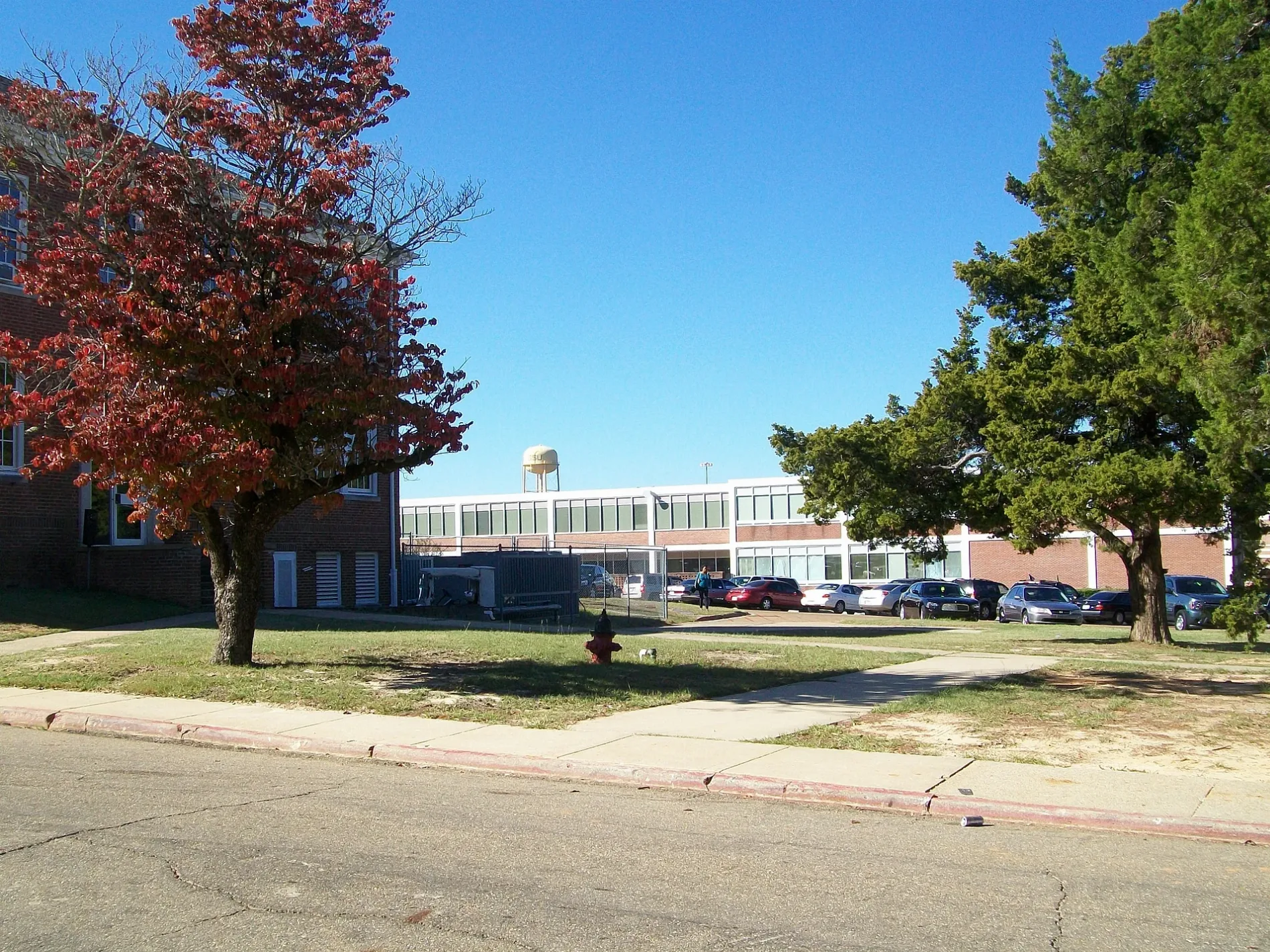
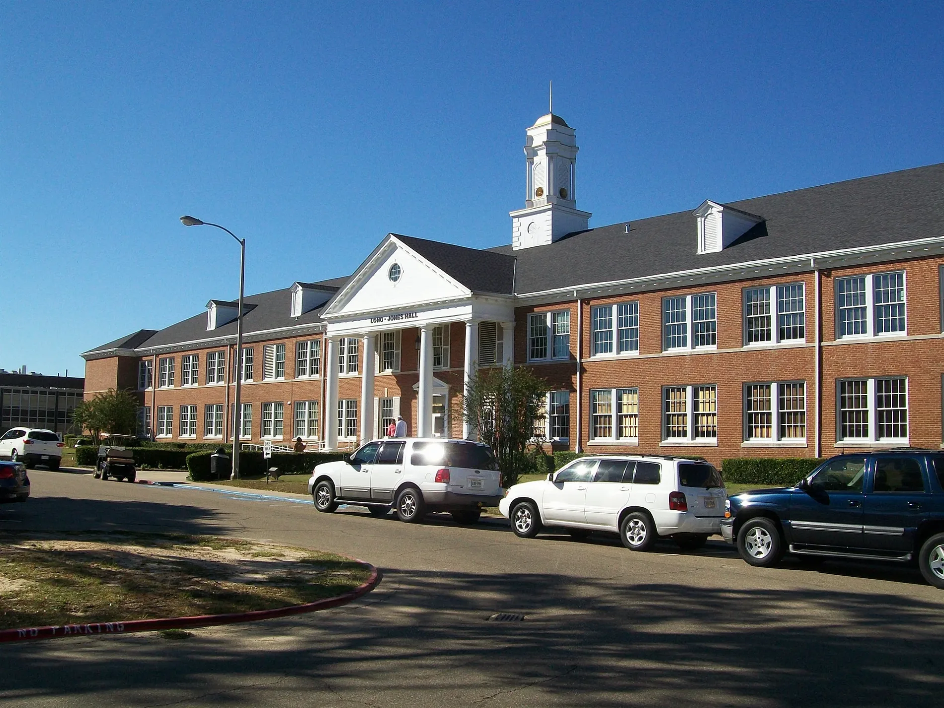
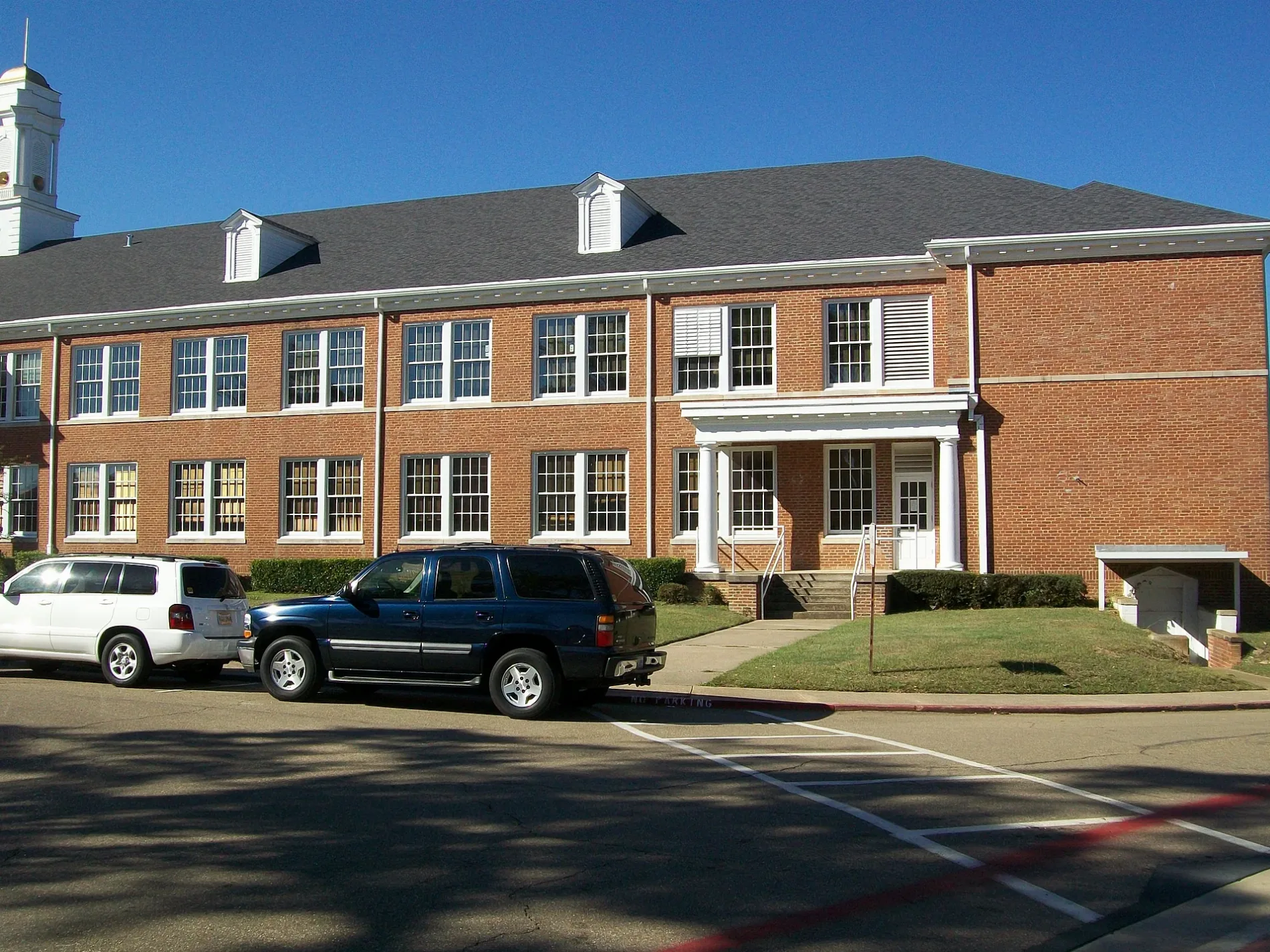
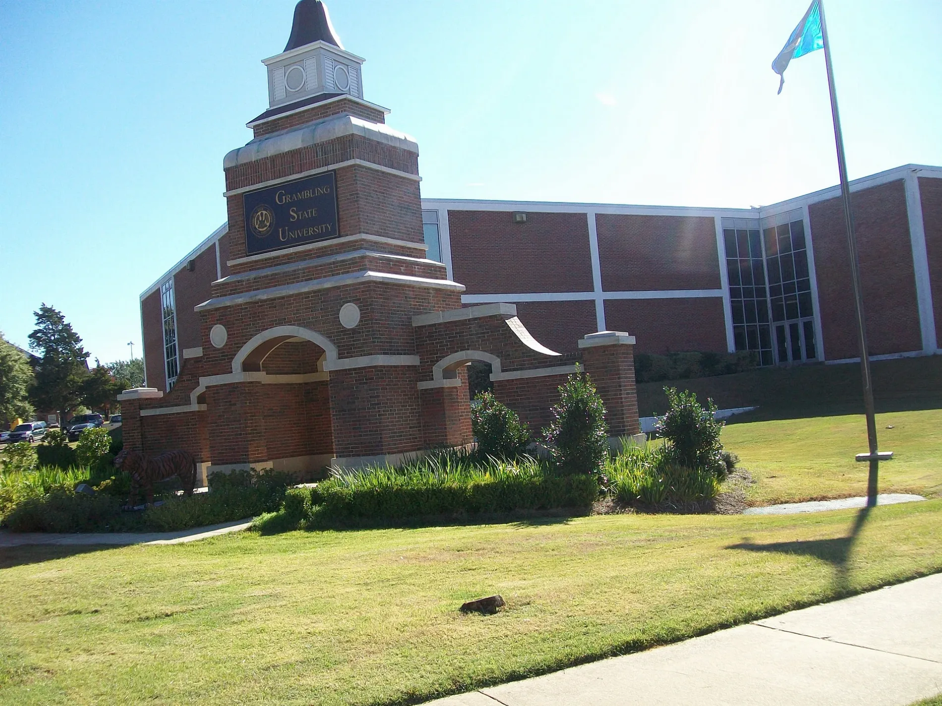
Streets in Grambling, Louisiana
Streets
Stadium & Facilities Drive
Fidelia Street
Young Street
Jackson Street
Medgar Evers Street
Hollis Jensen Street
Central Avenue
Hall Street
Sims Avenue
Gallot Drive
Wilson Street
Grambling Street
Wayside Street
Murline Drive
Murdock Street
Stadium Drive
Ellis Washington Street
Maple Street
Park Street
Carver Street
Sandbed Road
Margaret Place
Patton Street
Alexander Street
Maxie Street
Brown Street
Lee Street
Edith Rose Lane
University Place
Olive Street
Ruston Avenue
Humphrey Street
Slaughter Street
Hutchinson Street
Younger Street
College Avenue
Osborne Street
Kennedy Avenue
Reed Street
Williams Street
Dickerson Street
Rwe Jones DriveSubway, Exxon, Stop & Shop, Chevron
Dunbar Street
Bennett Road
Webster Avenue
Sharlista Lane
South Pine Tree Road
Harris Street
Main StreetGrambling
Simsboro Street
Stewart Street
B T Woodard Circle
Woodland Springs Drive
Founder AvenueLittle Free Library
Lewis Street
Coleman Street
Johnson Street
Goodlife Street
Martin Luther King Jr Avenue
Martin Luther King Junior Avenue
Ballock Street
Cole Street
Church Street
East Street
King Street
Sandle Street
Clark Street
Penn Street
Gum Street
Marzett Street
Micron Street
Bowman Place
Robinson Street
Adams Avenue
Oak Circle
Mockingbird Lane
Jordan Street
Dunn Road
Christian Street
Washington Street
Maria Street
Greene Lane
Camellia PlaceCamellia Estates Subdivision
Lenora Place
Cornwell Drive
Cove View Road
Railroad Street
Richmond Drive
Wilkerson Drive
Wright Avenue
North Stadium Drive
Safe Route To School Phase III
Safe Route Phase III
Elizabeth Street
Tarbutton Road
Clear Springs Drive
Doctor Birdex Copeland Junior Drive
Duck Pond Lane
Fairway Lane
Rock Creek Drive
Bunker DriveArts centers
Buildings
Clinics
Commercial buildings
Cosmetics stores
Fire stations
Fitness centers
Food courts
Libraries
Museums
Nightclubs
Parks
Places of worship
Police stations
Post offices
Residential areas
Restaurants
Schools
Sports centers
Sports fields
Stadiums
Supermarkets
Theaters
Town halls
University buildings
Student Judicial Affairs
Purchasing Department
Favrot Student Union
Athletics Building
Fredrick Douglas Hall
Phyllis Wheatley Hall
Pinkney Pinchback
Mary McLeod Bethune Hall
Attucks Hall
Garner Hall
J.D.E. Bowen Hall
Dunbar Hall
Grambling Hall
Lee Hall
Jewett Hall
Long-Jones Hall
T.L. James Hall
Simmie Holland Hall
Robinson Hall
Hunter Hall
Brown Hall
Jeanes Hall
Institutional Advancement
Army ROTC
Laundry
Carver Hall
Washington-Johnson Complex
Woodson Hall
Charles P Adams Hall
Johnson Place
School of Nursing Building
Jacob T Stewart Building
Tiger Village Clubhouse
Martha Adams Hall
Harriet Tubman Hall
Mildred Jones Hall
Sojourner Truth Hall
Stadium Support Facility
Richmond Hall
Vacation apartments
Variety stores
 Public transit map Grambling Legend
| Railway | |
| Bus | |
| Streetcar |
 Bicycle map Grambling Legend
| Bike path | |
| Bike lane on roadway | |
| Cycling allowed on bus lane | |
| Bicycle street | |
| Open to cyclists | |
| Open to cyclists, good path | |
| Cycling prohibited | |
| Cobblestone |
| Long-distance bike route | (depending on scale) | |
| Long-distance bike route |
 Pedestrian map Grambling Legend
| Path |
| Long-distance hiking trail | (depending on scale) | |
| Long-distance hiking trail | ||
| Pedestrians prohibited |