
Jena Street in Ruston, Louisiana
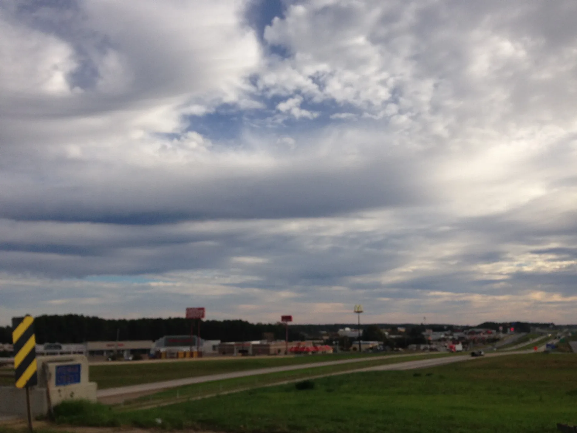
Jena Street in Ruston is a two-lane, asphalted residential street. It runs in a north-south direction and crosses Pine Avenue and ends at Lee Avenue, while the other end is a cul-de-sac.
- Road Type
- residential street
- Speed Limit
- 25 mph
- Lanes
- 2
- Route
- north-south
Image
Pharmacies
Florists
Artworks
Game stores
Museums
- Lincoln Parish Museum (opening hours: "by appointment", Web) at North Vienna Street 609 (71270) – approx. 0.4 mi.
Religious goods stores
Clothing stores
Restaurants
Charging stations
Colleges
Hardware stores
Post offices
Gas stations
Studios
Tattoo studios
Fast food restaurants
Beauty salons
Supermarkets
Video game stores
Streets nearby
South Service Road WestQuikTrip
250 ft
Woodward AvenueT-Mobile, Subway
0.1 mi
Lee AvenueLouisiana Delta Community College - Ruston Campus
0.1 mi
Coushatta Street0.1 mi
North Trenton StreetHouse of Flowers, Kitishian's, Gilbert Center, Circle K, Gonzalez, Jolie Nails & Spa
0.1 mi
Ada Street0.2 mi
Calcote Avenue0.2 mi
Camp AvenueTesla Destination Charger
0.2 mi
North Vienna StreetFlower Power, Au Printemps
0.2 mi
Lamar Avenue0.2 mi
Howard Street0.2 mi
Goode Avenue0.2 mi
Baldwin Street0.3 mi
West Maryland Avenue0.3 mi
Gaar Avenue0.3 mi
North Service Road EastVerizon, Courtesy, Jim Taylor Ford, Sally Beauty, McAlister's Deli
0.3 mi
Vista Drive0.3 mi
Rock Island GreenwayMushrooms & Fungi, Pine Trees, Birds, Water Ecosystems, Insects, Frogs, Trees and Shrubs, Pollution, Mental Health
0.3 mi
West Virginia AvenueLincoln Parish Museum
0.4 mi
Evans Street0.4 mi
Hollingsworth Way0.4 mi
East Virginia Avenue0.4 mi
North Monroe Street0.4 mi
Shops nearby
Latham Fiberglass Pools200 ft
Auto parts stores nearby
Advance Auto Parts0.3 mi
Buildings nearby
Lifehouse Ministries0.2 mi
Tech 4 Tech0.3 mi
Irrigation-Mart0.3 mi
Portraits Plus0.3 mi
Kidd-Davis House0.4 mi
Goff & Goff0.4 mi
Cell phone stores nearby
Verizon0.3 mi
Cemeteries nearby
Greenwood Cemetery0.3 mi
Clothing stores nearby
Patton's Western Wear0.3 mi
Convenience stores nearby
QuikTrip0.2 mi
Ruston Chevron0.2 mi
Dentist's offices nearby
Peachtree Dental0.4 mi
Gas stations nearby
Chevron0.2 mi
Hotels nearby
Hampton0.2 mi
Sleep Inn & Suites0.3 mi
Libraries nearby
Lincoln Parish Library0.2 mi
Music schools nearby
Ruston Music0.4 mi
Residential areas nearby
Graham Apartments0.2 mi
Virginia Street Apartments0.3 mi
Restaurants nearby
El Padrino0.1 mi
Peking0.3 mi
Shoe stores nearby
Shoe Dept.0.2 mi
Sports fields nearby
Down the Hill DIY Skate Park400 ft
Streams nearby
Chautauqua Creek0.3 mi
Public transit map Ruston Legend
| Railway | |
| Bus | |
| Streetcar |
Bicycle map Ruston Legend
| Bike path | |
| Bike lane on roadway | |
| Cycling allowed on bus lane | |
| Bicycle street | |
| Open to cyclists | |
| Open to cyclists, good path | |
| Cycling prohibited | |
| Cobblestone |
| Long-distance bike route | (depending on scale) | |
| Long-distance bike route |
Pedestrian map Ruston Legend
| Path |
| Long-distance hiking trail | (depending on scale) | |
| Long-distance hiking trail | ||
| Pedestrians prohibited |