
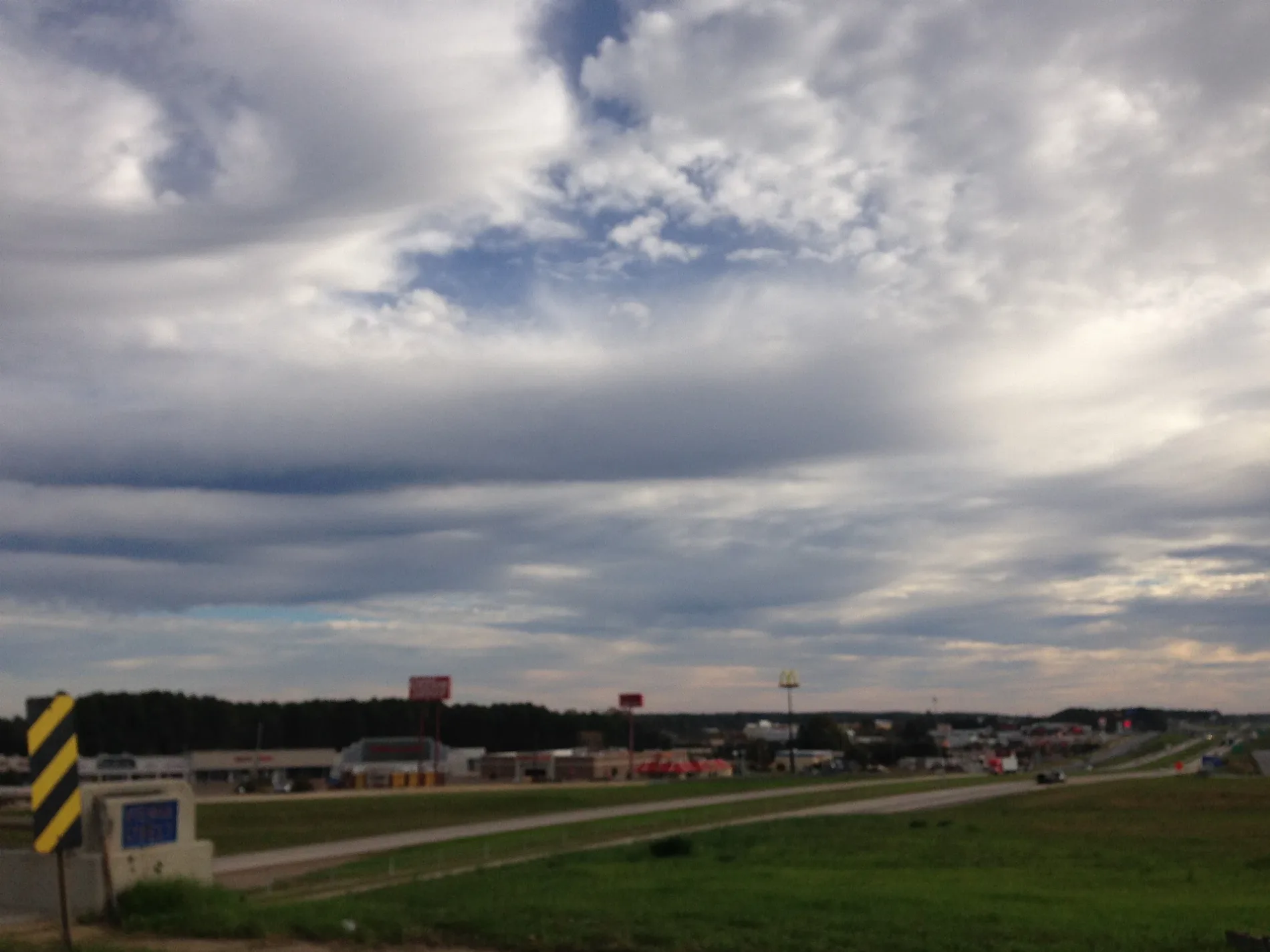
North Trenton Street in Ruston, Louisiana
North Trenton Street in Ruston is a two-lane, asphalted expressway (Road number US 63;US 167;LA 146). It runs in a north-south direction starting from Jefferson Avenue and crosses Llanfair Drive, Frazier Road, Audubon Drive, East Woodhaven Road, West Woodhaven Road, Louanne Avenue, North Chautauqua Road, East Kentucky Avenue, Pelican Boulevard, Toma Lodge Drive and Huey Avenue. It ends in a cul-de-sac. This street is part of the highways 167, 80 and 63. Nearby you can find a florist, a clothing store, an arts center and a gas station.
- Bicycle
- no
- Road Type
- expressway
- Lanes
- 2
- Speed Limit
- 35 mph
- Route
- north-south
Image
Streets nearby
Goode Avenue250 ft
West Maryland Avenue0.1 mi
West Virginia AvenueLincoln Parish Museum
0.1 mi
Lamar Avenue0.1 mi
Coushatta Street0.1 mi
East Virginia Avenue0.1 mi
Pine AvenueCommon Goods Co., Artemis Tattoo Collective
0.2 mi
East Carolina Avenue0.2 mi
Calcote Avenue0.2 mi
Rock Island Greenway0.2 mi
North Monroe Street0.2 mi
Lee Avenue0.2 mi
South Service Road WestQuikTrip
0.2 mi
Jena Street0.2 mi
Vista Drive0.2 mi
Gaar Avenue0.2 mi
North Vienna StreetBelle Chase
0.3 mi
West Florida Avenue0.3 mi
Howard Street0.3 mi
Evans Street0.3 mi
South Service Road EastTexas Roadhouse, Tesla Destination Charger
0.3 mi
Baldwin Street0.3 mi
Woodward AvenueSubway, T-Mobile
0.3 mi
North Service Road EastSally Beauty, Circle K, Panda Express, McAlister's Deli, Buff City Soap
0.4 mi
Camp AvenueTesla Destination Charger
0.4 mi
Ada Street0.4 mi
Byram AvenueRoux102, KRLQ 94.1, Totally Unwired!
0.4 mi
Auto parts stores nearby
Advance Auto Parts300 ft
Banks nearby
Regions Bank0.4 mi
Buildings nearby
Tech 4 Tech150 ft
Lifehouse Ministries150 ft
Portraits Plus0.1 mi
Kidd-Davis House0.1 mi
Goff & Goff0.2 mi
Irrigation-Mart0.2 mi
Cell phone stores nearby
Verizon200 ft
Cemeteries nearby
Greenwood Cemetery0.3 mi
Clothing stores nearby
Patton's Western Wear200 ft
Convenience stores nearby
QuikTrip0.2 mi
Ruston Chevron0.4 mi
Dentist's offices nearby
Peachtree Dental0.1 mi
Hotels nearby
Sleep Inn & Suites0.2 mi
Hampton0.4 mi
Libraries nearby
Lincoln Parish Library550 ft
Police stations nearby
Ruston Police Department0.2 mi
Restaurants nearby
El Padrino0.2 mi
Peking0.4 mi
Shoe stores nearby
Shoe Dept.0.3 mi
Sports fields nearby
Down the Hill DIY Skate Park0.2 mi
Public transit map Ruston Legend
| Railway | |
| Bus | |
| Streetcar |
Bicycle map Ruston Legend
| Bike path | |
| Bike lane on roadway | |
| Cycling allowed on bus lane | |
| Bicycle street | |
| Open to cyclists | |
| Open to cyclists, good path | |
| Cycling prohibited | |
| Cobblestone |
| Long-distance bike route | (depending on scale) | |
| Long-distance bike route |
Pedestrian map Ruston Legend
| Path |
| Long-distance hiking trail | (depending on scale) | |
| Long-distance hiking trail | ||
| Pedestrians prohibited |