
Denham Springs, Louisiana
Denham Springs is located in Livingston Parish. About 9,286 people live here (as of 2020). Between 2010 and 2020, the population declined from 10,215 to 9,286. The region is at 13 meters above sea level. The area covers about 19.0 square kilometers. There are about 561 streets in Denham Springs. The ZIP codes are 70706–70727. The dialing code is 225. Denham Springs is city in Livingston Parish, Louisiana, United States. Among other things, Denham Springs has restaurants, cafés, supermarkets, banks and doctors. More information at www.cityofdenhamsprings.com.
Denham Springs – Facts
| Population | 9286 |
|---|---|
| Area | 19.0 km² |
| Elevation | 13 m |
| Located in | Livingston Parish |
| Postal code | 70706 |
| Country | United States |
| Official name | Denham Springs |
| Website | http://www.cityofdenhamsprings.com/ |
Data source: Wikidata (CC0)
Photos from Denham Springs


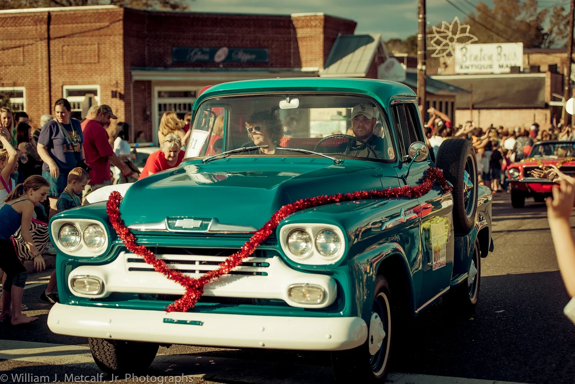
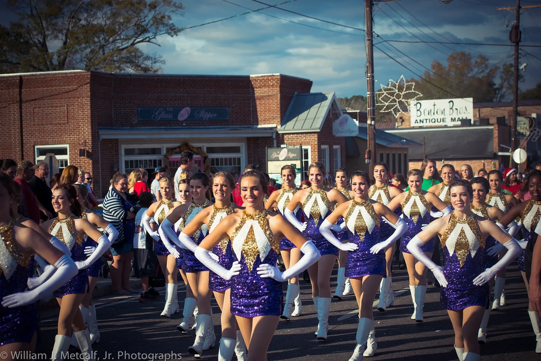
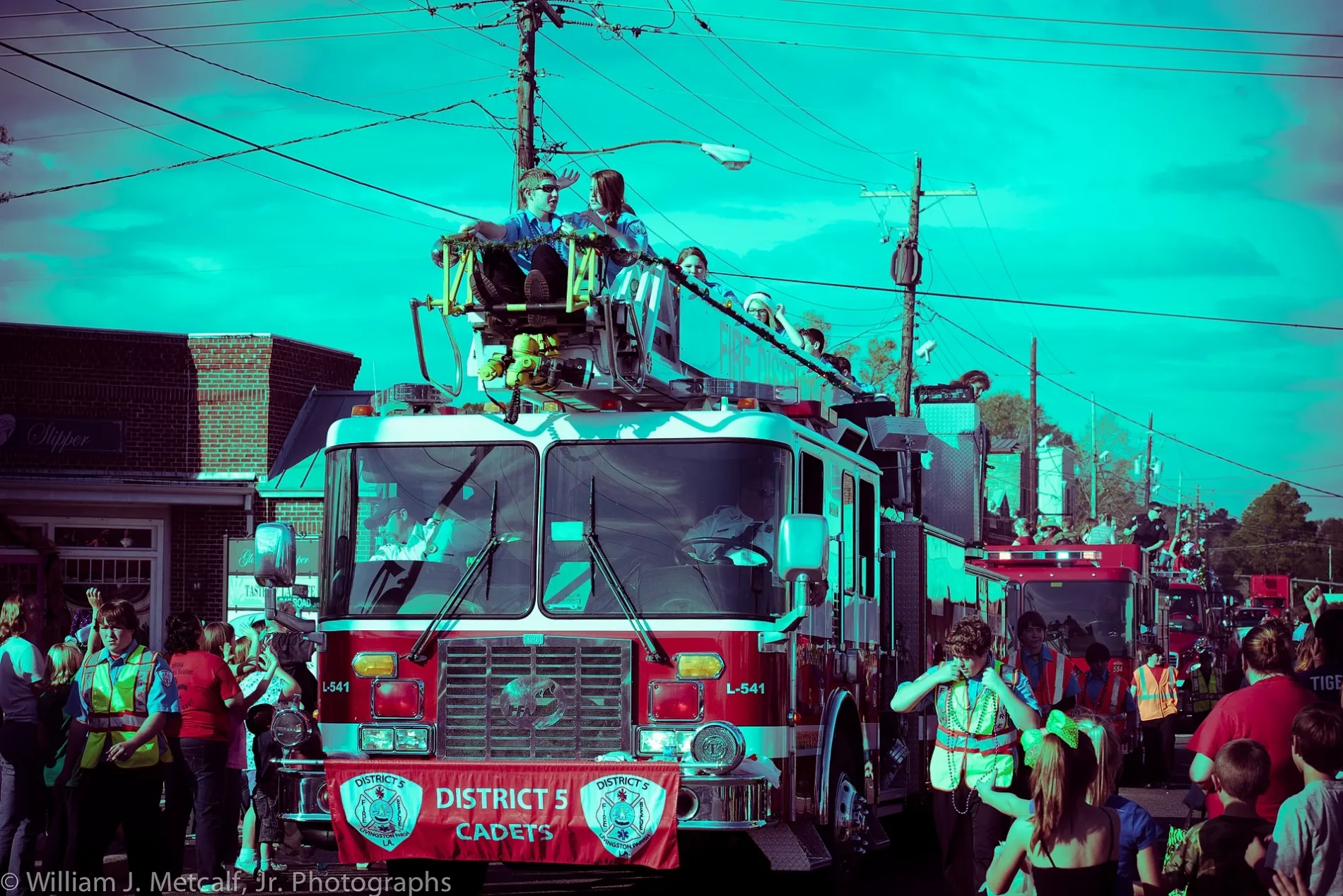
Streets in Denham Springs, Louisiana
Streets
West Florida Republic Parkway
South Hummel Street
Little Caesars, Buddy's BBQ
South Range Avenue
North Hummel Street
Florida Boulevard Southwest
Florida Boulevard
Florida Avenue Southeast
North Range AvenueDenham Springs
Corporal Shawn Kelly Memorial Boulevard
Florida Avenue Southwest
Eugene Street
Vincent Road
Juban Road
Rushing Road EastRushing's Corner, Office Depot, Rent-A-Center
Rushing Road WestStarbucks, Neighbors Federal Credit Union
East Railroad AvenueDenham Springs
Cockerham Road
Hatchell Lane
Bass Pro BoulevardMooyah!, Menchie's, Sprint, Yeager's Down Home
Veterans Boulevard
Julia Street
Centerville Street Northeast
Edgewood Drive
Rodeo Drive
Centerville Street Northwest
Yellow Jacket Boulevard
South River Road
North River Road
Tate Road
Maple Street
Aspen SquareBig Mikes Sports Bar And Grill, Cactus Cafe, Lashish, Purple Cow
Thornton LaneDenham Springs Christian Assembly
Bart Street
Kennedy Avenue
Park Street
Drive Way
Leslie Street
Ironwood Drive
Richland Street
Pinoak Street
Jane Drive
Forest Street
Del Este Avenue
Willow Brook Avenue
Sullivan Street
Service Drive
Brignac Street
Dumaine Drive
Spring Street
Magnolia Street
Pine Street
Stephen Drive
Bowman Street
Bret Drive
Knoll Street
Norma Drive
North College Drive
Cathryn Drive
Plymouth Street
Willow Glen Drive
Audubon Street
Beech Street
Oakwood Drive
Kelli Drive
Desert Willow Avenue
Trails End Road
Railroad Avenue
Willow Point Drive
Budley Street
Maryland Street
Bass Wood DriveThe Willows
Carrol Street
Jean Street
Chartres Avenue
Woodland Road
Mark Drive
Bryan Street
Falconcrest Street
Fred Banks Drive
Westfield Drive Public transit map Denham Springs Legend
| Railway | |
| Bus | |
| Streetcar |
 Bicycle map Denham Springs Legend
| Bike path | |
| Bike lane on roadway | |
| Cycling allowed on bus lane | |
| Bicycle street | |
| Open to cyclists | |
| Open to cyclists, good path | |
| Cycling prohibited | |
| Cobblestone |
| Long-distance bike route | (depending on scale) | |
| Long-distance bike route |
 Pedestrian map Denham Springs Legend
| Path |
| Long-distance hiking trail | (depending on scale) | |
| Long-distance hiking trail | ||
| Pedestrians prohibited |