
Image
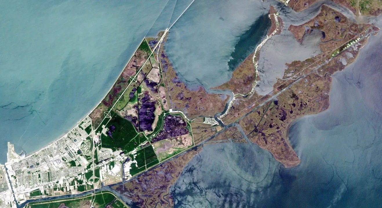
Cafes
Pharmacies
Gas stations
Supermarkets
Ice cream shops
Restaurants
Kindergartens
Pubs
Artworks
Hospitals
Fire stations
Schools
Tourist information centers
Police stations
Fast food restaurants
Weighbridges
Streets nearby
Road F15.4 mi
Road E15.4 mi
Chemin Honey Island Marina5.6 mi
Road A5.6 mi
Bali Road5.7 mi
Apple Pie Ridge RoadRidge Memorial Church
5.7 mi
South 8th StreetLacombe Fire Dept - Station 31, Lacombe Fire Dept - Admin Bld
5.7 mi
Kelly Lane5.8 mi
Maui Road5.8 mi
Tonga Road5.8 mi
Riverside Drive5.8 mi
Camp RoadDeer Island
5.8 mi
Margene Court5.9 mi
Chevron Boardwalk6.0 mi
Attractions nearby
Pearl River Eco Tours5.9 mi
Canals nearby
Gulf Intracoastal Waterway2.1 mi
Cemeteries nearby
McKean Cemetery5.7 mi
Industrial areas nearby
Sabic Port St. Louis5.1 mi
Goodnight Terminal Services5.4 mi
Railways nearby
CSX NO&M Subdivision0.4 mi
Rivers nearby
East Mouth1.3 mi
West Mouth2.0 mi
Yousom Bayou3.2 mi
Old Pearl River4.0 mi
The Rigolets4.2 mi
Cowan Bayou5.5 mi
East Middle River5.7 mi
Streams nearby
Kopman Bayou2.6 mi
Johnny Three Bayou3.5 mi
Grassy Bayou3.6 mi
Waters nearby
Sand Bayou1.6 mi
Joes Lagoon2.5 mi
Lily Lagoon2.6 mi
Goose Pond3.0 mi
Foster Bayou3.3 mi
Sawmill Bayou3.4 mi
Lower Black Bayou4.1 mi
Salt Bayou4.1 mi
Upper Black Bayou4.9 mi
Perdido Bayou5.0 mi
Other nearby
Browns Island4.5 mi
Sabic Substation5.2 mi
| Country | United States |
|---|---|
| Source | Lake Pontchartrain |
| Mouth | Gulf of Mexico |
Public transit map New Orleans Legend
| Railway | |
| Bus | |
| Streetcar |
Bicycle map New Orleans Legend
| Bike path | |
| Bike lane on roadway | |
| Cycling allowed on bus lane | |
| Bicycle street | |
| Open to cyclists | |
| Open to cyclists, good path | |
| Cycling prohibited | |
| Cobblestone |
| Long-distance bike route | (depending on scale) | |
| Long-distance bike route |
Pedestrian map New Orleans Legend
| Path |
| Long-distance hiking trail | (depending on scale) | |
| Long-distance hiking trail | ||
| Pedestrians prohibited |