
Levee Pk in Alexandria, Louisiana
Levee Pk in Alexandria is a track. It runs in a southeast-northwest direction and crosses Animal Shelter Road and ends at Fairfield Avenue, while the other end is a cul-de-sac.
- Road Type
- track
- Route
- southeast-northwest
Image
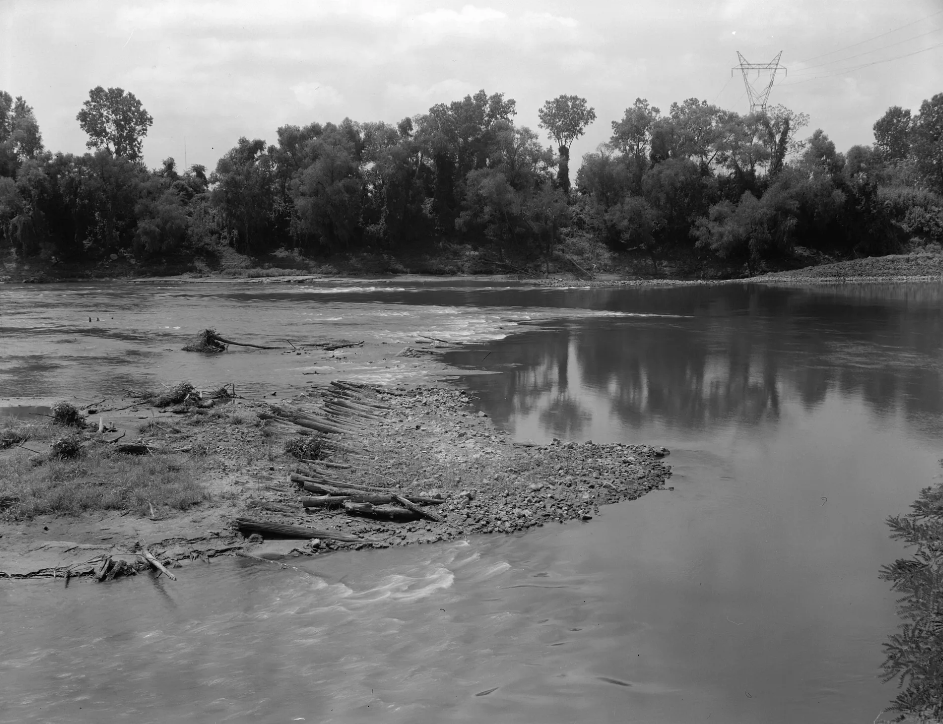
Charging stations
Hotels
Post offices
Museums
- Louisiana History Museum (Web) at Washington Street 503 – approx. 1.0 mi.
Places of worship
Schools
Bars
Courthouses
Libraries
Streets nearby
Animal Shelter Road500 ft
Lincoln DriveEastern Charm Baptist Church
0.1 mi
Beverly Drive0.1 mi
Chelsea Drive0.2 mi
Cotton Street0.2 mi
Frances StreetSaint Mark Baptist Church
0.2 mi
Oak Street0.2 mi
North 3rd Street0.2 mi
Meadow Lane0.2 mi
Fairfield Avenue0.2 mi
Pine Street0.3 mi
Riverside DriveFort Randolph
0.3 mi
Parkwood DriveSieps
0.3 mi
Corn Street0.3 mi
Rye Street0.3 mi
Gum Street0.3 mi
Martin Luther King, Jr HighwayAlexandria Junction
0.3 mi
Curtis-Coleman Memorial Bridge0.4 mi
4th StreetEmmanuel Baptist Church, Saint Francis Xavier Academy
0.5 mi
Monroe StreetBibleway Pentecostal Church, First Church of God, Exxon
0.5 mi
Hillcrest Boulevard0.5 mi
Macarthur DriveMotel 6 Alexandria, Parkview Baptist Church, Dollar General, AT&T, Eyemart Express, Texas Roadhouse, McDonald's, MacArthur Drive Self Storage, Texmo Junction, Central Louisiana Marine Institute School
0.5 mi
Monroe Highway0.6 mi
Livingston Street0.6 mi
North Riverside Court0.6 mi
Ball Street0.6 mi
Euclid Street0.6 mi
Rainbow DriveShell, Subway, Mowad's Burgers and Chicken
0.8 mi
Shops nearby
Holloway Outdoors and Marine0.2 mi
Auto repair shops nearby
Bob's Repair Services0.3 mi
Buildings nearby
Bailey's Dam Overlook0.2 mi
Cobra Glass0.3 mi
Acadian Ambulance Station - Alexandria0.3 mi
Fort Randolph & Buhlow State Historic Site Visitor's Center0.3 mi
Clinics nearby
The Headache Clinic0.2 mi
M.R. Imaging Systems0.2 mi
Convenience stores nearby
MH & J Grocery0.3 mi
Hospitals nearby
Encompass Health Rehabilitation Hospital of Alexandria0.3 mi
Industrial areas nearby
Rapides Machine Shop0.2 mi
Parks nearby
Lincoln Park0.2 mi
City of Alexandria River Front Park0.2 mi
Rental services nearby
Tarver Crane Services0.2 mi
Retail buildings nearby
Carr & Osborne Plumbing Contractors0.2 mi
Streams nearby
Bayou Rapides0.4 mi
Spanish Bayou0.5 mi
Tire dealers nearby
Moore's Tire & Service Center0.3 mi
Waters nearby
Pierson Lake0.4 mi
Other nearby
Rapides Regional Medical Center Heliport0.4 mi
Pineville Substation0.4 mi
 Public transit map Alexandria Legend
| Railway | |
| Bus | |
| Streetcar |
 Bicycle map Alexandria Legend
| Bike path | |
| Bike lane on roadway | |
| Cycling allowed on bus lane | |
| Bicycle street | |
| Open to cyclists | |
| Open to cyclists, good path | |
| Cycling prohibited | |
| Cobblestone |
| Long-distance bike route | (depending on scale) | |
| Long-distance bike route |
 Pedestrian map Alexandria Legend
| Path |
| Long-distance hiking trail | (depending on scale) | |
| Long-distance hiking trail | ||
| Pedestrians prohibited |