
St. Landry Parish, Louisiana
Saint Landry Parish is located in Louisiana. About 83,848 people live here. Between 2010 and 2020, the population declined from 83,384 to 82,540. The area covers about 2,432.0 square kilometers. The region is divided into 10 Municipalities. The region was founded in 1807. Saint Landry Parish is parish in Louisiana, United States. More information at www.stlandryparishgovernment.org.
Saint Landry Parish – Facts
| Population | 82540 |
|---|---|
| Area | 2432 km² |
| Subregions | 10 |
| Year built | 1807 |
| Located in | Louisiana |
| Country | United States |
| Native name | St. Landry Parish |
| Website | https://stlandrypg.org/ |
Data source: Wikidata (CC0)
Municipalities in St. Landry Parish, Louisiana
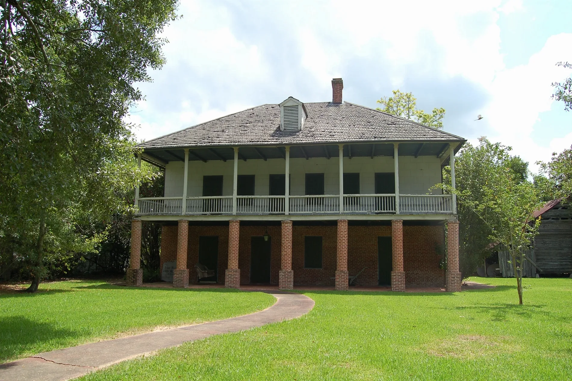
Photos from Saint Landry Parish
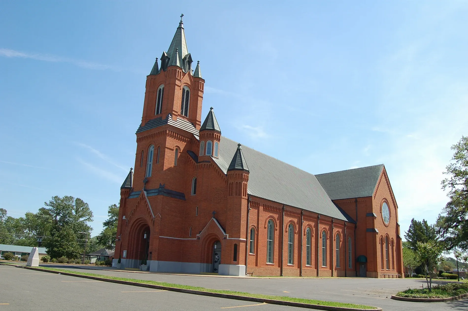
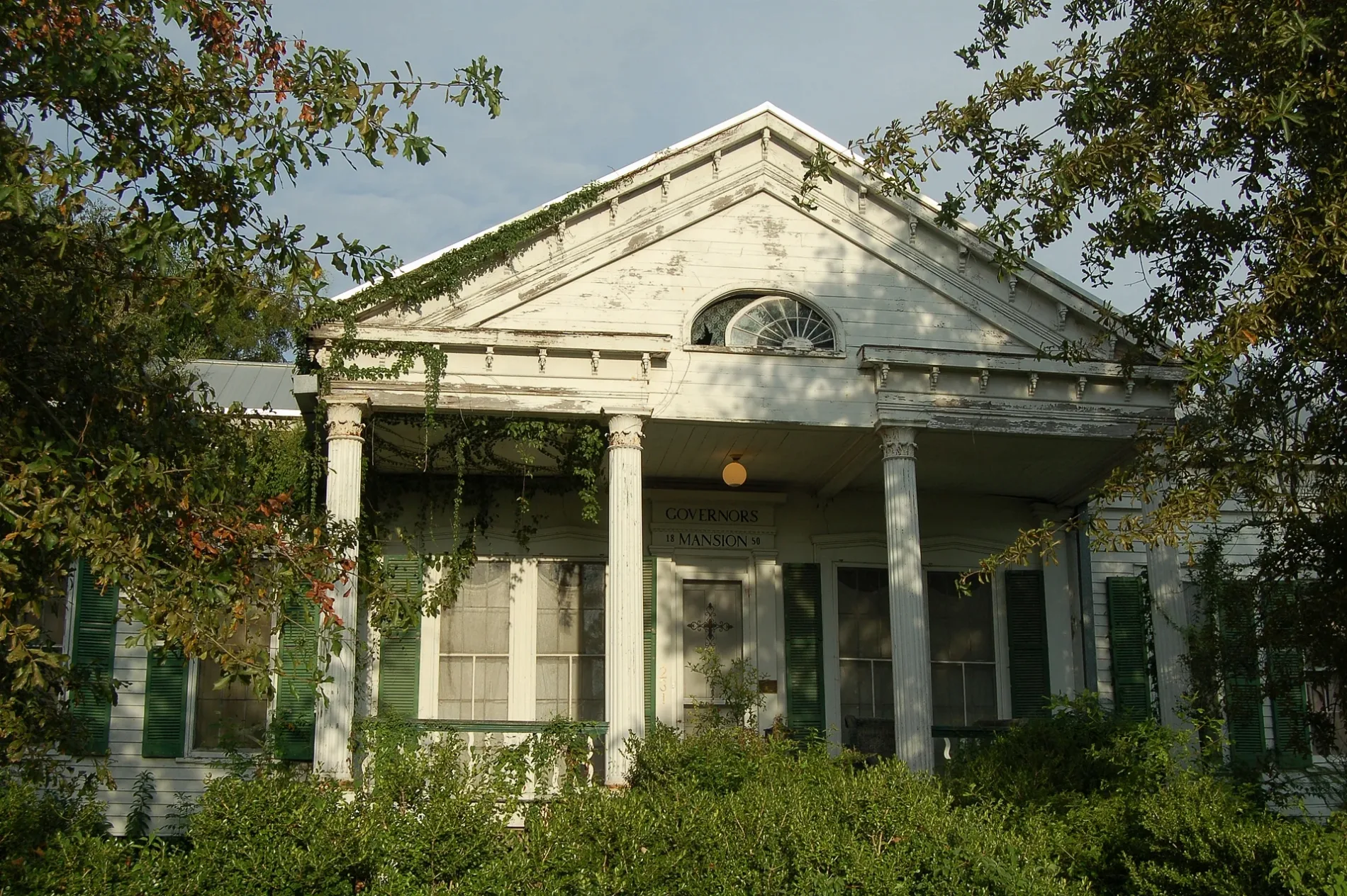
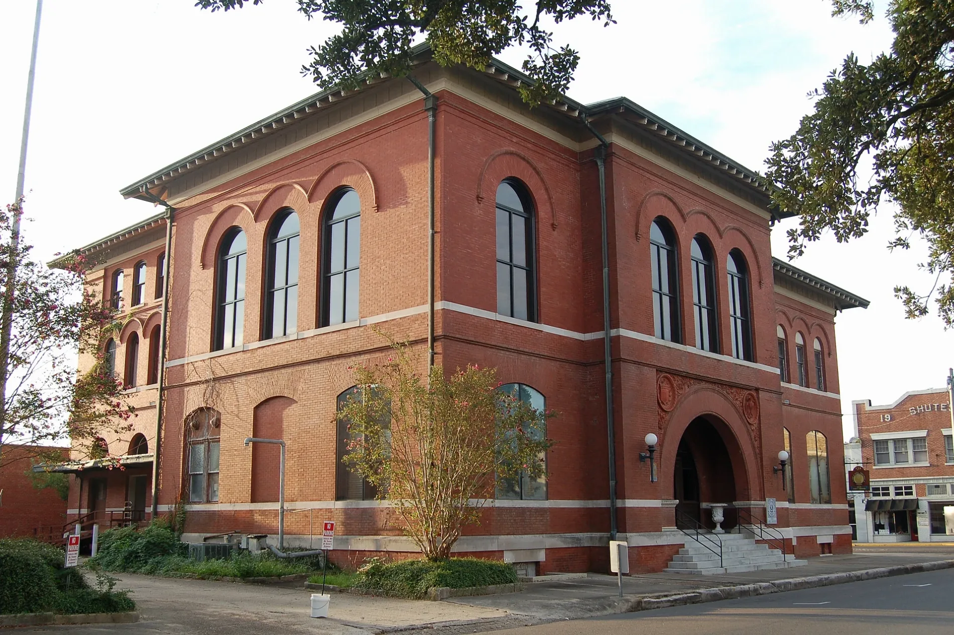
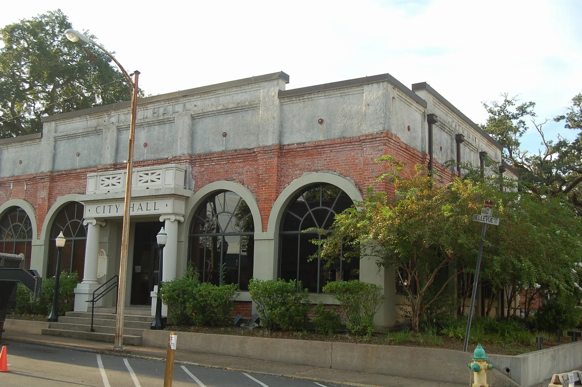
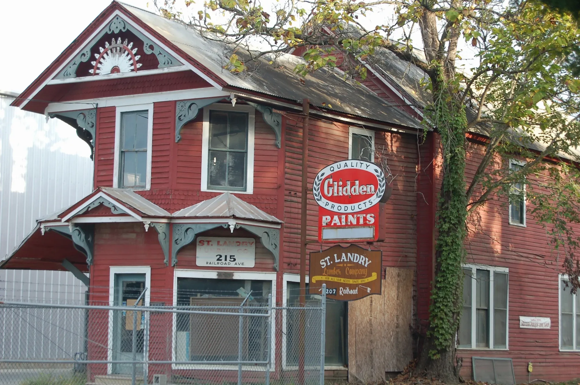
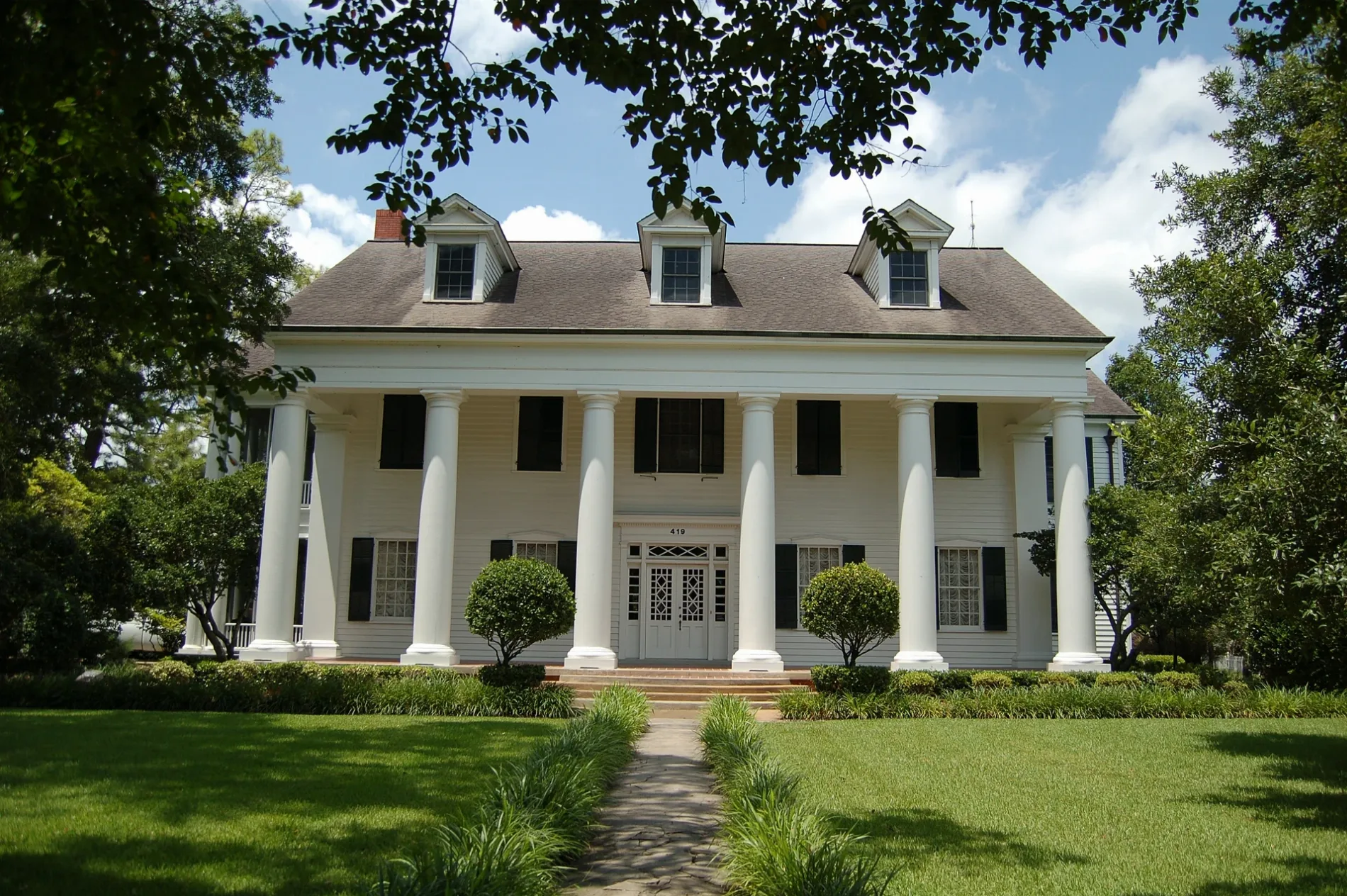
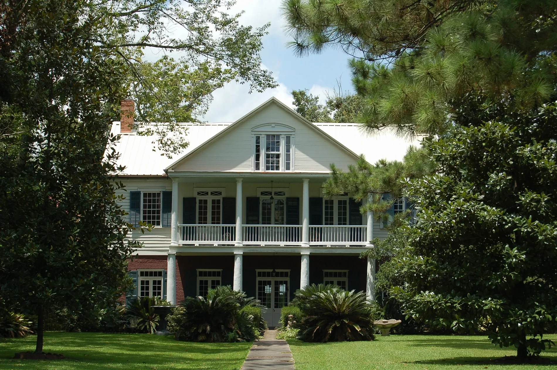
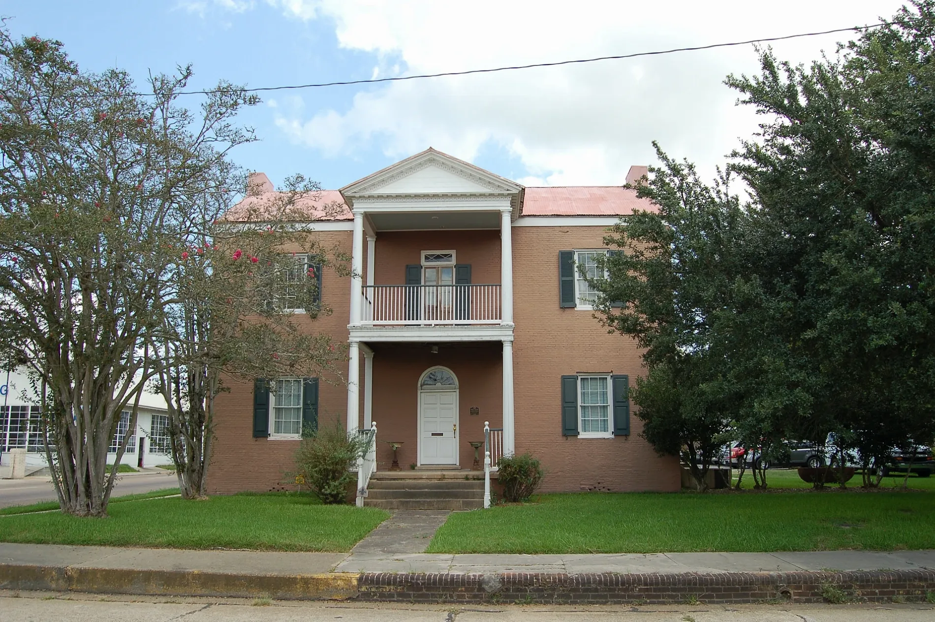
Streets in St. Landry Parish, Louisiana
Streets
La 182
Beggs, Garland, Chimleyville Church, Saint Agnes Church, Saint Josephs Church, Whiteville School
US Highway 190Shell, Kings Casino, Kings
Elementary School RoadMorrow Elementary School, Lincoln School
Prairie Ronde HighwayLedoux, Prairie Ronde Church, Saint Andrews Church
State Route 105Suna, Neita, Gordon, Woodside, Atchafalaya Church, New Zion Church
Prejean HighwayLawtell Post Office, Lawtell Fire Department
State Route 31Prairie Laurent, Leonville Volunteer Fire Department, Robin, Leonville Elementary School
LA 107Morrow, Big Cane Church, Hebert Cemetery
Sonnier RoadWhites Chapel United Methodist Church, Whiteville Post Office
Parish Road 4-165Bayou Jack, Apostolic Church, Bayou Jack Church
Hicks RoadSaint Catherines Church, Rosa, Rosa Post Office
East Grolee StreetOpelousas Public Library
Plantation RoadMacedonia Church
Evergreen LaneFamily Dollar
La 3043Saint Anthony Church
Country Ridge RoadHebert's
Dupre RoadSaint Marks Church
Petite Prairie Bayou RoadSaint Luke Church
State Route 103Saquette Cemetery
Rideau RoadPalmetto Elementary School
Bosco HighwaySunrise Church
Frontage RoadCAT Scale
Narcisse Lacour RoadMount Hope Church
La 360Bayou Current, United Pentecostal Church
La 361Mount Olive Church
Compress RoadFamily Worship Christian Academy School
Roy Baker RoadLe Moyen, Le Moyen Post Office
Pilot Travel CenterCAT Scale
I-49 South Service RoadSt. Landry Visitor Center
Frazard RoadSacred Heart Chapel
La 359Waxia, Saint James Church
State Route 10Macland, Union Chapel
Kyle StreetChurch of Christ
La 742Greater Union Baptist Church
Lebeau Church RoadGoudeau Cemetery
Frilot Cove RoadPrairie School
Southlake RoadMorhorm Church
Ellen RoadMount Pleasant Church
La 749Saint Landry Parish Fire Protection District 3
State Route 744Starlight Church
True Vine RoadTrue Vine Church
Stanford RoadMurphy USA
Mt Triumph RoadMount Triumphant Church
Dry Bayou RoadNew Jerusalem Church
Willie Young RoadMacedonia Church
La 367Odon Cemetery
Nursing Home RoadSanctified Church
Malveaux RoadPlaisance Elementary School
Lawler HighwayChevron
La 363Grand Prairie Church
Webb LaneStarlight Church
Sidney Charles RoadChrist the King School
Bayou RoadDe Viller Cemetery
Cotton Patch RoadMount Zion Church
Dutch RoadLebeau Post Office
Cyrus LaneMount Zion Church
Love's Travel StopLove's
Rayne RoadLittle Zion Church
Nicholas Street
Barnett Street
Boudar Drive
Kaitlyn Street
East Courtableau Drive
L Lewis Road
Chick Lane
Teal Lane
Camp Ground Road
Granger Road
Country Hill Road
Charter Street
Saint Peter Lane
North Half Moon Lane
Schexnayder Road
Hidalgo Road
Industrial Lane
Chenier Road
Salvador
Elsie Street
Wordy's Lane Public transit map Saint Landry Parish Legend
| Railway | |
| Bus | |
| Streetcar |
Bicycle map Saint Landry Parish Legend
| Bike path | |
| Bike lane on roadway | |
| Cycling allowed on bus lane | |
| Bicycle street | |
| Open to cyclists | |
| Open to cyclists, good path | |
| Cycling prohibited | |
| Cobblestone |
| Long-distance bike route | (depending on scale) | |
| Long-distance bike route |
Pedestrian map Saint Landry Parish Legend
| Path |
| Long-distance hiking trail | (depending on scale) | |
| Long-distance hiking trail | ||
| Pedestrians prohibited |