
Convent Street in Opelousas, Louisiana
Convent Street in Opelousas is a residential street. It runs in an east-west direction starting from East Convent Street and crosses North Main Street and ends at North Union Street. Convent Street also exists in Bossier Parish.
- Road Type
- residential street
- Route
- east-west
Image
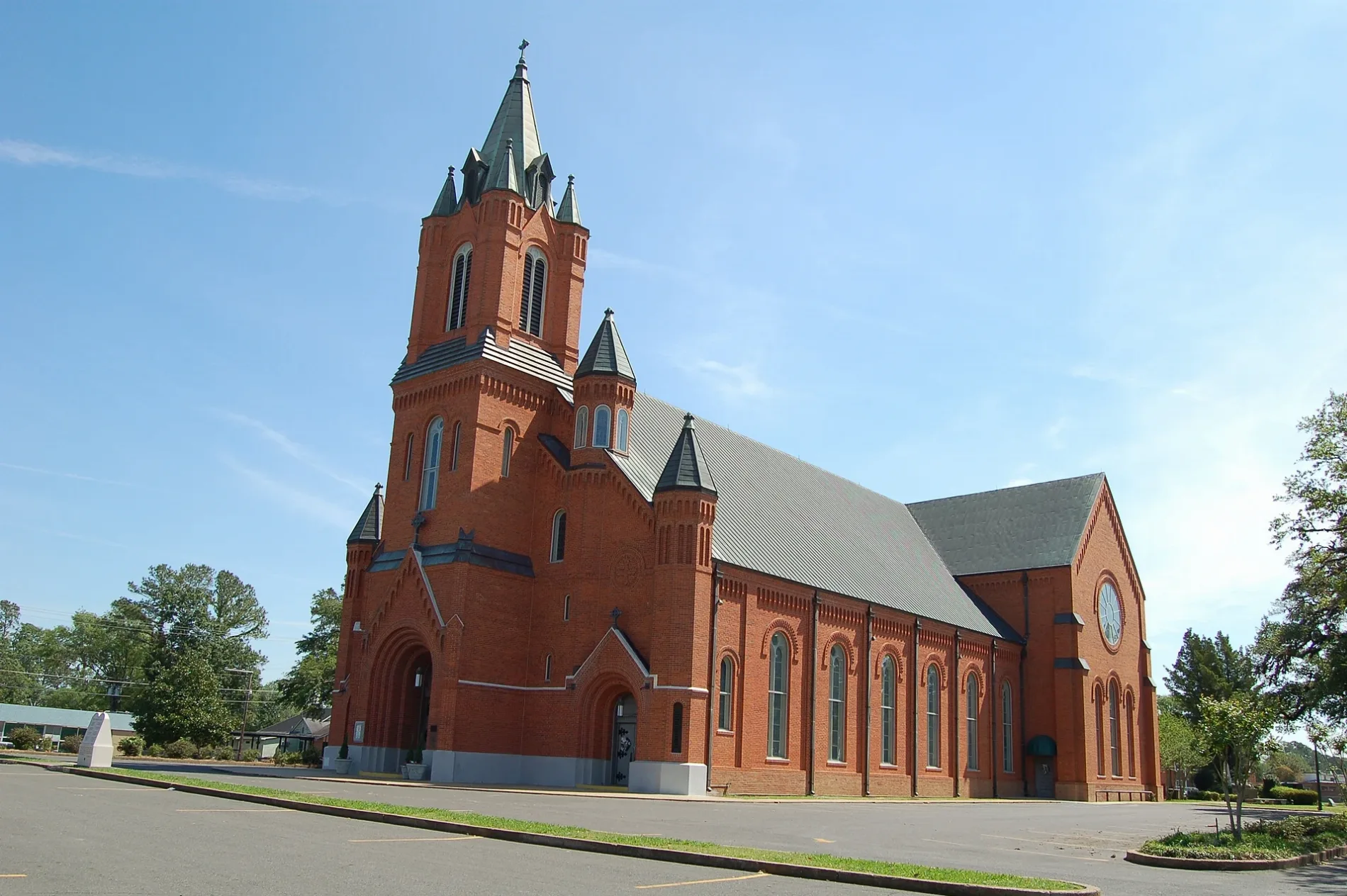
Places of worship
Libraries
Courthouses
Restaurants
Hardware stores
Schools
Police stations
Museums
Town halls
Pharmacies
Gas stations
Fire stations
Streets nearby
East Convent Street400 ft
Church Street550 ft
East Church Street0.1 mi
North Main Street0.1 mi
Thompson Street0.1 mi
East Thompson Street0.1 mi
North Union StreetSaint Landry Adult Education School
0.1 mi
North Court StreetOpelousas Police Department, Opelousas City Hall
0.2 mi
Viking Lane0.2 mi
West Eliza Street0.2 mi
East Prudhomme Lane0.2 mi
West Convent Street0.2 mi
Schwartzenburg Street0.2 mi
Occidental Street0.2 mi
East Cheney Street0.2 mi
West Church Street0.2 mi
North Market Street0.2 mi
Broussard DriveOpelousas Catholic School
0.2 mi
Lombard Street0.2 mi
Ventre Street0.2 mi
Juanita Street0.2 mi
West Cheney Street0.2 mi
Leblanc Street0.2 mi
Mingo Circle0.2 mi
North Walnut StreetHoly Ghost School
0.2 mi
Plaisance Street0.3 mi
Estorge Street0.3 mi
Prudhomme Circle0.3 mi
Pine Avenue0.3 mi
East Bloch Street0.3 mi
Prudhomme Street0.3 mi
Shute Street0.3 mi
Oak Street0.3 mi
West Prudhomme Street0.3 mi
B Alley0.3 mi
Market Street0.3 mi
Congress Street0.3 mi
C Alley0.3 mi
West Bloch Street0.3 mi
East Littell StreetOpelousas Police Department
0.3 mi
West Littell Street0.4 mi
North Lombard Street0.4 mi
Buildings nearby
Acadiana Pathology0.2 mi
Cemeteries nearby
Saint Landry Cemetery0.1 mi
Clinics nearby
Acadiana Practitioners, LLC0.3 mi
Museums nearby
Opelousas Museum And Interpretive center0.4 mi
Places of worship nearby
Holy Ghost Catholic Church0.1 mi
Saint Landry Catholic Church0.1 mi
Streams nearby
Bayou Tesson0.4 mi
Public transit map Opelousas Legend
| Railway | |
| Bus | |
| Streetcar |
Bicycle map Opelousas Legend
| Bike path | |
| Bike lane on roadway | |
| Cycling allowed on bus lane | |
| Bicycle street | |
| Open to cyclists | |
| Open to cyclists, good path | |
| Cycling prohibited | |
| Cobblestone |
| Long-distance bike route | (depending on scale) | |
| Long-distance bike route |
Pedestrian map Opelousas Legend
| Path |
| Long-distance hiking trail | (depending on scale) | |
| Long-distance hiking trail | ||
| Pedestrians prohibited |