
Saint John River in T12 R16 WELS, Maine
Saint John River in T12 R16 WELS is a river. Saint John River is also known as Wolastoq. Saint John River also exists in Saint Francis, T18 R10 WELS, T14 R13 WELS, T14 R14 WELS and T16 R13 WELS. Ⓦ.
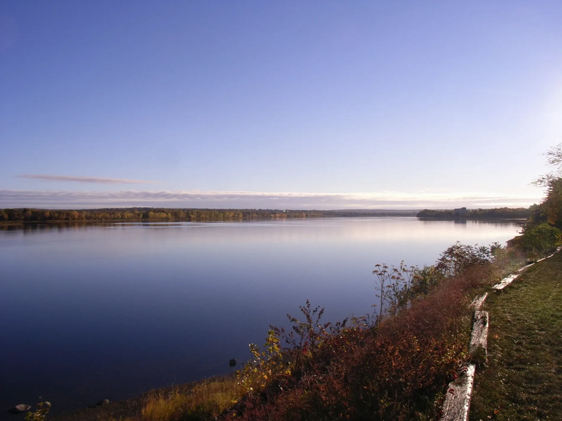
- Alternate Name
- Wolastoq
- Waterway Type
- river
Rivers nearby
Saint John River4.3 mi
Streams nearby
Connors Brook3.8 mi
Sixmile Brook4.6 mi
Campbell Brook4.8 mi
Ninemile Brook5.0 mi
Billy Jack Brook5.2 mi
Houlton Brookb5.3 mi
Houlton Brook5.4 mi
Waters nearby
Ninemile Rapids0.4 mi
Mary L Pond3.2 mi
Ed Jones Pond4.2 mi
Polly Pond4.3 mi
Linscott Pond4.8 mi
Houlton Pond5.6 mi
| Length | 606 |
|---|---|
| Located in | Maine, New Brunswick |
| Country | Canada, United States |
| Source | Northwest Branch Saint John River, Southwest Branch Saint John River |
| Mouth | Bay of Fundy |
| Tributary | Madawaska River, Tobique River, Allagash River, Aroostook River, Kennebecasis River, Keswick River, Meduxnekeag River, Nerepis River, Oromocto River, River De Chute, Big Black River, Canaan River, Little Black River, Saint Francis River, Fish River, Rivière Baker-Brook, Big Presque Isle Stream, Little Presque Isle Stream, Jemseg River, Salmon River, Iroquois River |
| Described by | The Nuttall Encyclopædia, Encyclopædia Britannica 11th edition, Brockhaus and Efron Encyclopedic Dictionary |
Public transit map T12 R16 WELS Legend
| Railway | |
| Bus | |
| Streetcar |
Bicycle map T12 R16 WELS Legend
| Bike path | |
| Bike lane on roadway | |
| Cycling allowed on bus lane | |
| Bicycle street | |
| Open to cyclists | |
| Open to cyclists, good path | |
| Cycling prohibited | |
| Cobblestone |
| Long-distance bike route | (depending on scale) | |
| Long-distance bike route |
Pedestrian map T12 R16 WELS Legend
| Path |
| Long-distance hiking trail | (depending on scale) | |
| Long-distance hiking trail | ||
| Pedestrians prohibited |