
Neal Street in Gardiner, Maine
Neal Street in Gardiner is a residential street and it runs in a Southwest direction starting from Brunswick Avenue and crosses Robinson Street and ends at Beech Street.
- Road Type
- residential street
- Route
- northeast-southwest
Image
Convenience stores
Police stations
Guest houses
Hair salons
Community centers
Restaurants
Pharmacies
Fire stations
Cafes
Gas stations
Clinics
Cemeteries
Variety stores
Bookstores
Pubs
Massage therapy clinics
Schools
Streets nearby
Robinson Street400 ft
Winter Street400 ft
Mechanic Street400 ft
Brunswick AvenueDave's Diner
450 ft
Fillmore Place550 ft
Bridge Street0.1 mi
Summer StreetFresenius
0.2 mi
Arcade Street0.2 mi
Harding Street0.2 mi
School Street0.2 mi
Pleasant Street0.2 mi
Church StreetGardiner Fire Department, Gardiner Police Department
0.2 mi
Beech Street0.2 mi
Maine AvenueGardiner, The Depot Pub
0.2 mi
Lincoln AvenueThe Stone Turret
0.2 mi
Dennis Street0.2 mi
Vine Street0.2 mi
Chestnut Street0.2 mi
Cobbosseecontee Stream Trail0.3 mi
Middle Street0.3 mi
Liberty Street0.3 mi
Cedar Street0.3 mi
Elm Street0.3 mi
Autumn Street0.3 mi
Buildings nearby
Gardiner Common gazebo0.1 mi
Butcher shops nearby
Emery's Meat and Produce0.2 mi
Cannabis dispensaries nearby
Wellness Connection of Maine0.2 mi
Cemeteries nearby
Christ Church Cemetery0.1 mi
Commercial buildings nearby
Mika Gardiner0.1 mi
Convenience stores nearby
Big Apple450 ft
Tiger Town Beverage0.2 mi
Department stores nearby
Reny's0.2 mi
Fast food restaurants nearby
Subway0.2 mi
Dunkin' Donuts0.2 mi
McDonald's0.3 mi
Game stores nearby
Top-Side Gaming0.1 mi
Hardware stores nearby
Harvey's Hardware0.2 mi
Parks nearby
Gardiner Common0.2 mi
Places of worship nearby
First Baptist Church500 ft
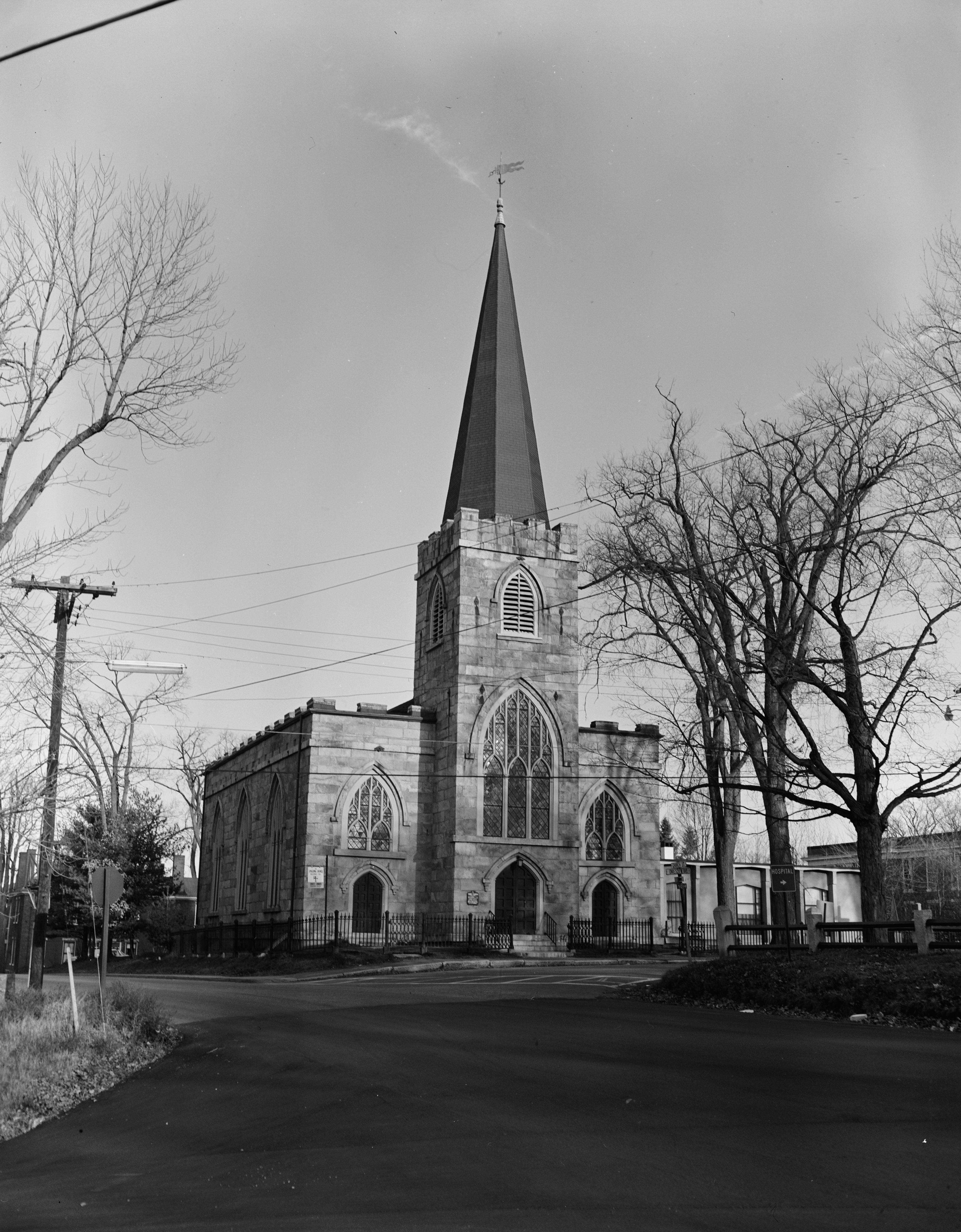
Christ Church Episcopal550 ft
Life Community Church0.1 mi
Saint Joseph Catholic Church0.2 mi
Post offices nearby
United States Postal Service400 ft
Restaurants nearby
Grilla Bowl0.1 mi
A1 Diner0.1 mi
Rivers nearby
Cobbosseecontee Stream0.1 mi
Supermarkets nearby
Hannaford0.2 mi
Theaters nearby
Johnson Hall Opera House0.1 mi
Town halls nearby
Gardiner City Hall0.2 mi
Public transit map Gardiner Legend
| Railway | |
| Bus | |
| Streetcar |
Bicycle map Gardiner Legend
| Bike path | |
| Bike lane on roadway | |
| Cycling allowed on bus lane | |
| Bicycle street | |
| Open to cyclists | |
| Open to cyclists, good path | |
| Cycling prohibited | |
| Cobblestone |
| Long-distance bike route | (depending on scale) | |
| Long-distance bike route |
Pedestrian map Gardiner Legend
| Path |
| Long-distance hiking trail | (depending on scale) | |
| Long-distance hiking trail | ||
| Pedestrians prohibited |