
East Main Street in Dover-Foxcroft, Maine
East Main Street in Dover-Foxcroft is a main road (Road number ME 15). It runs in a southeast-northwest direction starting from West Main Street and crosses North Street, Moosehead Lane, South Street, Pleasant Street, River Street, Court Street, County Street, Essex Street, Pearl Street and Grove Street and ends at Bangor Road. This street is part of the highway "15". Nearby you can find among others 2 restaurants, a museum, a bank and a gift shop.
- Road Type
- main road
- Route
- southeast-northwest
Image
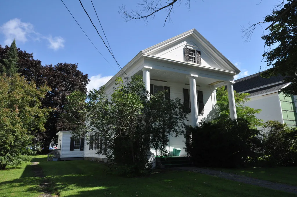
Restaurants
Gift shops
Streets nearby
County Street300 ft
Court Street450 ft
Pleasant StreetDover-Foxcroft, Foxbrook Variety, Dover-Foxcroft Fire Department
500 ft
Essex StreetEssex Street Dental
550 ft
Pearl Street550 ft
River StreetLiving Word Assembly of God Church, United Baptist Church of Dover, United Methodist Church, Central Hall Dover-Foxcroft Town Offices, Dover Foxcroft Police Department
0.1 mi
Lilac Lane0.2 mi
Lincoln StreetChloes Collections Florist, Bobs Farm Home and Garden
0.2 mi
Wiley Street0.2 mi
Davis Street0.2 mi
Union Street0.2 mi
Harvey Street0.2 mi
Depot Street0.2 mi
Railroad Avenue0.3 mi
High Street0.3 mi
Elm Street0.3 mi
Fairview Avenue0.3 mi
Mayo Street0.3 mi
Lawrence Street0.3 mi
Vaughn Road0.3 mi
Cricket Lane0.3 mi
Sunset View0.4 mi
Dover-Foxcroft Recreational Rail Trail0.4 mi
Cedar Street0.4 mi
South StreetFamily Eye Care, Piscataquis Chamber of Commerce, Dover-Foxcroft Redemption Center
0.4 mi
Sandy Lane0.4 mi
Maple Street0.5 mi
Grove Street0.5 mi
Birch Street0.5 mi
Buildings nearby
Dover-Foxcroft Public Works0.5 mi
Attractions nearby
Dover-Foxcroft Historical Society0.2 mi
Buildings nearby
Peaks House300 ft
Community centers nearby
Masonic Temple0.3 mi
Courthouses nearby
Piscataquis County Courthouse350 ft
Dams nearby
Lower Dam0.2 mi
Drugstores nearby
Walgreens0.1 mi
Hotels nearby
Bed and Breakfast0.2 mi
Ice cream shops nearby
Pats Dairyland0.3 mi
Ice rinks nearby
Municipal Ice Rink0.5 mi
Libraries nearby
Thompson Free Library200 ft
Parks nearby
Piscataquis Valley Fair0.5 mi
Browns Mill Park0.5 mi
Police stations nearby
Piscataquis County Sheriff350 ft
Restaurants nearby
The Mill0.4 mi
Rivers nearby
Piscataquis River0.2 mi
Shopping malls nearby
Union Square Mall0.3 mi
Streams nearby
Dunham Brook0.4 mi
Weirs nearby
Upper Dam0.3 mi
Other nearby
Dover-Foxcroft substation0.5 mi
Public transit map Dover-Foxcroft Legend
| Railway | |
| Bus | |
| Streetcar |
Bicycle map Dover-Foxcroft Legend
| Bike path | |
| Bike lane on roadway | |
| Cycling allowed on bus lane | |
| Bicycle street | |
| Open to cyclists | |
| Open to cyclists, good path | |
| Cycling prohibited | |
| Cobblestone |
| Long-distance bike route | (depending on scale) | |
| Long-distance bike route |
Pedestrian map Dover-Foxcroft Legend
| Path |
| Long-distance hiking trail | (depending on scale) | |
| Long-distance hiking trail | ||
| Pedestrians prohibited |