
Hathorn Street in Pittsfield, Maine
Hathorn Street in Pittsfield is a residential street and it runs in a north-south direction starting from Somerset Avenue and ends at Central Street. Hathorn Street also exists in Sagadahoc County.
- Road Type
- residential street
- Route
- north-south
Image
Convenience stores
Auto parts stores
Gas stations
Restaurants
Supermarkets
Cheese shops
Places of worship
Banks
Fast food restaurants
Hofläden
Streets nearby
Forest Street350 ft
Central Street350 ft
Middle Street350 ft
June Court400 ft
Somerset AvenueCitgo
500 ft
Library Street0.1 mi
Hartland Avenue0.1 mi
Conner StreetBar Harbor Bank & Trust
0.1 mi
Cianbro Square0.2 mi
Hunnewell AvenuePittsfield
0.2 mi
Manson StreetSolid Rock Church of God
0.2 mi
North Lancey Street0.2 mi
Snowmobile Pittsfield TrailCN Brown
0.2 mi
Pleasant Street0.2 mi
Libby Street0.2 mi
Oak Street0.2 mi
Crosby Street0.2 mi
Lancey Street0.2 mi
South Street0.2 mi
Elm Street0.2 mi
West Street0.3 mi
Powell Street0.3 mi
Dorothy Street0.3 mi
Rice Street0.3 mi
Railroad Trail0.3 mi
Weymouth Street0.3 mi
Stinson StreetFirst Baptist Church
0.3 mi
Greeley Street0.3 mi
Cross Street0.4 mi
Institute Street0.4 mi
Auto repair shops nearby
Ron's Gulf0.2 mi
Banks nearby
Bangor Savings Bank0.2 mi
Buildings nearby
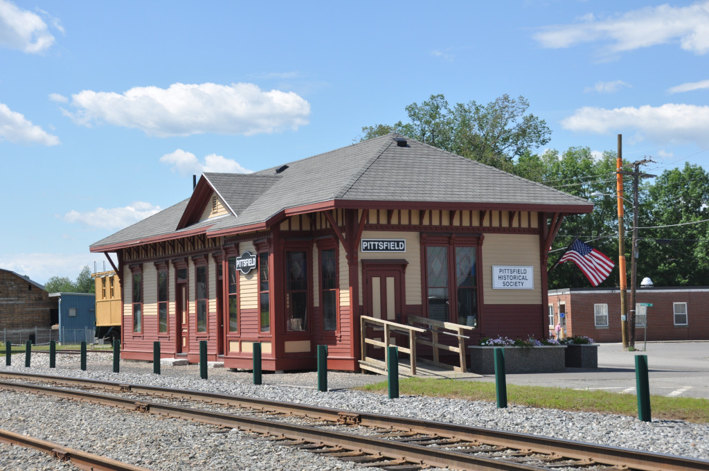
Pittsfield Historical Society0.1 mi
Cianbro Corporate Headquarters0.1 mi
Commercial buildings nearby
Cianbro Institute0.2 mi
Community centers nearby
Elks Lodge450 ft
Department stores nearby
Reny's0.1 mi
Fire stations nearby
Pittsfield Fire Department550 ft
Libraries nearby
Pittsfield Public Library0.1 mi
Movie theaters nearby
Pittsfield Community Theatre500 ft
Parks nearby
Hathorn Park350 ft
Stein Park0.1 mi
Veterans Park0.2 mi
Manson Park0.3 mi
Places of worship nearby
Church of the Nazarene550 ft
Post offices nearby
Pittsfield Post Office350 ft
Restaurants nearby
Kwong Lee350 ft
Vittles0.1 mi
Town halls nearby
Pittsfield Town Office0.1 mi
Public transit map Pittsfield Legend
| Railway | |
| Bus | |
| Streetcar |
Bicycle map Pittsfield Legend
| Bike path | |
| Bike lane on roadway | |
| Cycling allowed on bus lane | |
| Bicycle street | |
| Open to cyclists | |
| Open to cyclists, good path | |
| Cycling prohibited | |
| Cobblestone |
| Long-distance bike route | (depending on scale) | |
| Long-distance bike route |
Pedestrian map Pittsfield Legend
| Path |
| Long-distance hiking trail | (depending on scale) | |
| Long-distance hiking trail | ||
| Pedestrians prohibited |