
O'Neill Drive in Gaithersburg, Maryland
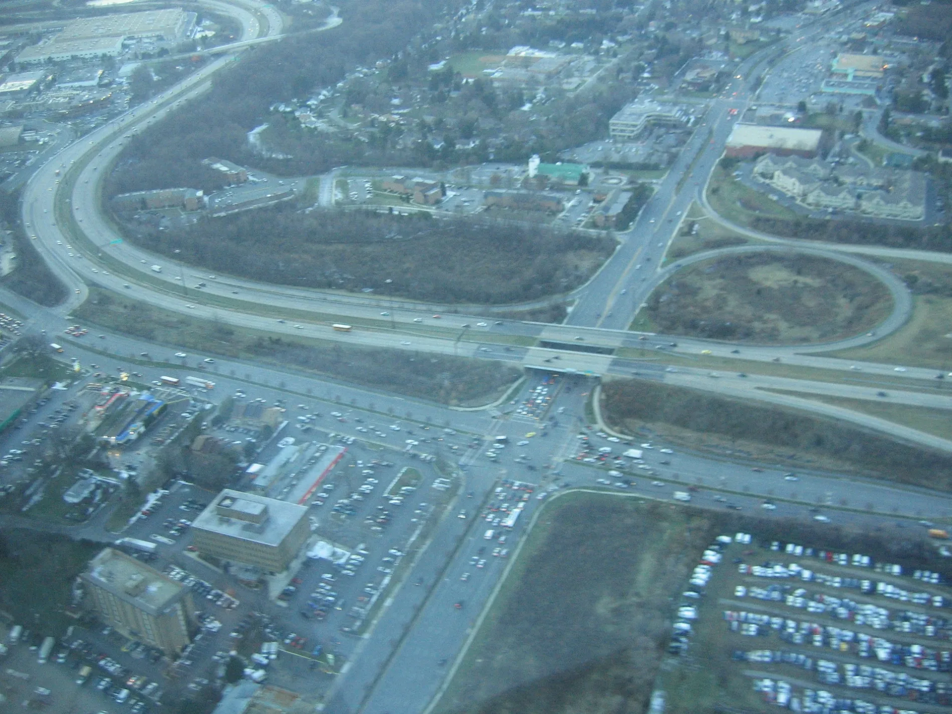
O'Neill Drive in Gaithersburg is an asphalted residential street. It runs in a northeast-southwest direction starting from Frederick Road and ends at Nancy Place.
- Road Type
- main road
- Route
- northeast-southwest
Image
Fast food restaurants
Gas stations
Thrift stores
Currency exchanges
Places of worship
Bus stops
Auto repair shops
Car dealerships
Clothing stores
Restaurants
Schools
Beauty salons
Variety stores
Mail depots
Streets nearby
Skidmore Boulevard0.2 mi
South Westland DriveInternational Jewelers, Baldino's Lock & Key
0.2 mi
Swarthmore Avenue0.2 mi
Nancy Place0.2 mi
Goucher Terrace0.2 mi
Zetts Avenue0.2 mi
Bates Avenue0.2 mi
Edgewood Drive0.3 mi
Fedor Avenue0.3 mi
Pleasant RoadJJ Muldoons, La Mexicana
0.3 mi
South Frederick AvenueEpworth United Methodist Church, Good Shepherd Lutheran Church, Good Shepherd Lutheran Preschool, Gaithersburg Presbyterian Church, Mr. Dan's Barber Shop, Church of the Ascension, Burma Road Restaurant, Pollolandia, Dollar Plus, Town Beauty Supply, Express Checks Cashed, Caravan Deli
0.3 mi
Anniversary Circle0.3 mi
Dakota Drive0.3 mi
Shea LaneWalnut Hill
0.3 mi
Walnut Hill Road0.3 mi
Oakmont Avenue0.4 mi
North Westland DriveL&L Music Wind Shop, 7-Eleven
0.4 mi
Grovemont Circle0.4 mi
Frederick RoadMcDonald's, Frederick Road Marathon, 7-Eleven, Wendy's
0.4 mi
Helgerman Court0.4 mi
Ziggy LaneMackie’s Barbecue
0.4 mi
Pleasant DriveKing Farm, Botanero, Fontina Grille
0.4 mi
Cyrus Street0.5 mi
Atlas Drive0.5 mi
Muscatello Court0.5 mi
Chestnut Street0.5 mi
Citation Drive0.6 mi
Apartment buildings nearby
Comfort Inn Shady Grove - Gaithersburg - Rockville0.3 mi
Building 10.3 mi
Building 20.4 mi
Banks nearby
Truist0.3 mi
Commercial areas nearby
Shady Grove Professional Park0.4 mi
Commercial buildings nearby
Shady Grove Postal Distribution Center0.5 mi
Community centers nearby
Casey Community Center450 ft
Construction sites nearby
Farmstead District0.4 mi
Dog parks nearby
Dog Park at King Farm0.4 mi
Fast food restaurants nearby
Checkers0.2 mi
Gas stations nearby
Liberty0.4 mi
Hotels nearby
Red Roof Inn0.4 mi
Industrial areas nearby
Metal/Appliance Recycling0.5 mi
Industrial buildings nearby
Household Hazardous Waste0.5 mi
Oil Recycling0.5 mi
Parks nearby
Mattie J.T. Stepanek Park0.4 mi
Places of worship nearby
Rockville Evangelical Mission Church0.5 mi
Railway areas nearby
WMATA Shady Grove Rail Yard0.5 mi
Residential areas nearby
Hillside Senior Apartment Homes0.1 mi
Schools nearby
Washington Grove Elementary School0.5 mi
Self storages nearby
Public Storage0.1 mi
Trash bins nearby
Montgomery County Recycling0.5 mi
 Public transit map Gaithersburg Legend
| Railway | |
| Bus | |
| Streetcar |
 Bicycle map Gaithersburg Legend
| Bike path | |
| Bike lane on roadway | |
| Cycling allowed on bus lane | |
| Bicycle street | |
| Open to cyclists | |
| Open to cyclists, good path | |
| Cycling prohibited | |
| Cobblestone |
| Long-distance bike route | (depending on scale) | |
| Long-distance bike route |
 Pedestrian map Gaithersburg Legend
| Path |
| Long-distance hiking trail | (depending on scale) | |
| Long-distance hiking trail | ||
| Pedestrians prohibited |