
Watch Hill Court in Gaithersburg, Maryland
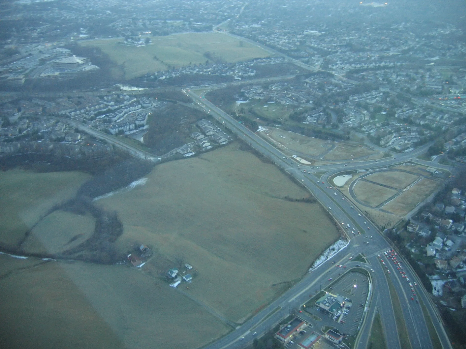
Watch Hill Court in Gaithersburg is a residential street and it runs in an east-west direction and ends at Watch Hill Lane, while the other end is a cul-de-sac.
- Road Type
- residential street
- Route
- east-west
Image
Convenience stores
Veterinary clinics
Massage therapy clinics
Car rentals
Bus stops
Artworks
Dry cleaners
Clinics
Tailor shops
Fast food restaurants
Streets nearby
Watch Hill Place300 ft
Tripoley Terrace300 ft
Norwich Court350 ft
Watch Hill Lane400 ft
Crown Farm Drive400 ft
Gibson Court450 ft
Tripoley Court0.1 mi
Gibson Place0.1 mi
Norwich Lane0.1 mi
Sam Eig Highway0.1 mi
Diamondback DriveDiamondback Dr & Bickerstaff Wy, Diamondback Dr & Bent Twig Ln, Diamondback Dr & Story Dr
0.1 mi
Story DriveStory Dr & Gold Kettle Dr, Story Dr & School Dr
0.1 mi
Hibiscus Court0.2 mi
Prairie Rose Court0.2 mi
Gold Kettle Court0.2 mi
Red Kiln Court0.2 mi
Middlebury Court0.2 mi
Hyacinth Court0.2 mi
Blue Ribbon Court0.2 mi
County Court0.2 mi
Prairie Rose Lane0.2 mi
Blue Silo Court0.2 mi
Silver Kettle Court0.2 mi
Big Acre Square0.2 mi
Sharpstead Lane0.2 mi
Gold Kettle Drive0.3 mi
Bickerstaff WayThree Big Dogs
0.3 mi
Supreme Court0.3 mi
Holdcroft Lane0.3 mi
Lamont Lane0.3 mi
Bent Twig Lane0.3 mi
Circuit Court0.3 mi
School DriveSchool Dr & Muddy Branch Rd, School Dr & Circuit Ct, School Dr & Big Acre Sq, School Dr & Story Dr
0.3 mi
Crossbow Lane0.4 mi
Muddy Branch RoadMuddy Branch Rd & Suffield Dr, MedStar Health: Urgent Care, Muddy Branch Veterinary Center, Kim's Tailor, Country Moon Spa, Muddy Branch Rd & Diamondback Dr
0.4 mi
Timberbrook Lane0.4 mi
Barnsfield Court0.4 mi
Suffield DriveSuffield Dr & Curry Ford Ln, Suffield Dr & Whitcliff Ct
0.4 mi
Apartment buildings nearby
Copley Three0.2 mi
Banks nearby
Truist0.4 mi
Cafes nearby
Starbucks0.3 mi
Liquor stores nearby
Montgomery County Liquor & Wine0.4 mi
Residential areas nearby
Shady Grove Village II0.1 mi
Shady Grove Village0.1 mi
Townes of Warther0.2 mi
Village at Gaithersburg0.3 mi
The Greens of Warther0.3 mi
Timberbrook0.4 mi
Retail areas nearby
Muddy Branch Square0.4 mi
Public transit map Gaithersburg Legend
| Railway | |
| Bus | |
| Streetcar |
Bicycle map Gaithersburg Legend
| Bike path | |
| Bike lane on roadway | |
| Cycling allowed on bus lane | |
| Bicycle street | |
| Open to cyclists | |
| Open to cyclists, good path | |
| Cycling prohibited | |
| Cobblestone |
| Long-distance bike route | (depending on scale) | |
| Long-distance bike route |
Pedestrian map Gaithersburg Legend
| Path |
| Long-distance hiking trail | (depending on scale) | |
| Long-distance hiking trail | ||
| Pedestrians prohibited |