
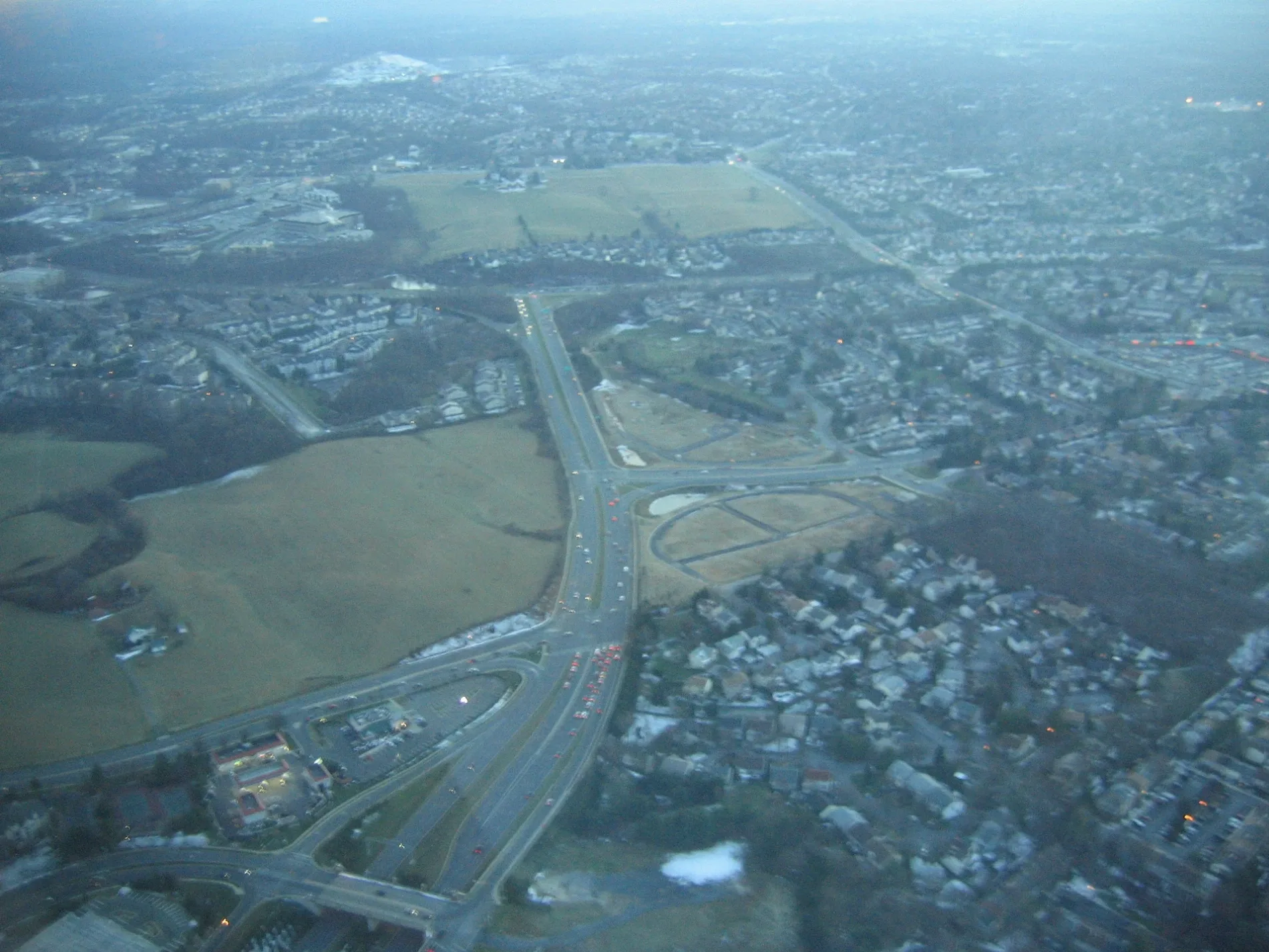
West Side Drive in Gaithersburg, Maryland
West Side Drive in Gaithersburg is an asphalted residential street. It runs in a southeast-northwest direction and crosses Muddy Branch Road. It ends in a cul-de-sac. Nearby you can find among others 3 restaurants, 2 hair salons, an auto parts store and a laundry. The nearest bus stop is Washingtonian Blvd & Grand Corner Ave (about 800 m away).
- Road Type
- residential street
- Route
- southeast-northwest
Image
Laundries
Restaurants
Furniture stores
Streets nearby
Eisenhower Memorial HighwayMatthew's Grill, Sun & Ski
0.1 mi
Bralan Lane0.2 mi
Malcolm King Park Loop0.3 mi
Bralan Court0.3 mi
Summit Hall Road0.3 mi
Deer Park Way0.3 mi
Morris Park Walking Route0.3 mi
Deer Park Lane0.3 mi
Sam Eig Highway0.3 mi
West Deer Park RoadW Deer Park Rd & Fairbanks Dr
0.3 mi
Deer Park Court0.3 mi
Washingtonian BoulevardWashingtonian Blvd & Grand Corner Ave, Washingtonian Blvd & Rio Blvd, Washingtonian Blvd & Omega Dr, Upward Bound, Washingtonian Blvd & Waterfront Pl, Washingtonian Blvd @ 9811, Zips Dry Cleaning, Washingtonian Blvd @ 9801, Washingtonian Blvd & Marathon Terr, Washingtonian Blvd & Fields Rd
0.4 mi
Duvall Lane0.4 mi
Grand Corner AvenueCVS Pharmacy, Hayley's World, Cosmic Coffee, Fruit Mural, Starbucks, Rio Directory
0.4 mi
Brighton Lane0.5 mi
Brighton Drive0.5 mi
Brighton Terrace0.5 mi
Brighton Court0.5 mi
Shops nearby
Xfinity0.4 mi
Locally Crafted0.5 mi
Animal boardings nearby
Best Friends Pet Hotel0.4 mi
Apartment buildings nearby
Camden Washingtonian0.2 mi
Bakeries nearby
Le Macaron French Pastries0.4 mi
Beauty salons nearby
Amazing Lash Studio0.4 mi
Bookstores nearby
Barnes & Noble0.4 mi
Cafes nearby
Kung Fu Tea0.5 mi
Clinics nearby
Relive Health0.4 mi
Clothing stores nearby
Loft0.4 mi
Chico's0.4 mi
South Moon Under0.4 mi
Commercial buildings nearby
Boiler0.3 mi
Cosmetics stores nearby
bluemercury0.4 mi
Department stores nearby
Target0.4 mi
Fast food restaurants nearby
BurgerFi0.4 mi
Fitness centers nearby
Planet Fitness0.3 mi
Life Time0.3 mi
Hair salons nearby
Rooster's Men's Grooming Center0.4 mi
Opticians nearby
LensCrafters0.4 mi
Parks nearby
Malcolm King Park0.2 mi
Christman Park0.4 mi
Residential areas nearby
Brighton Village Apartments100 ft
Brighton West Condominiums350 ft
Restaurants nearby
Lanzhou Hand Pull Noodle0.5 mi
Uncle Julio's0.5 mi
Sports fields nearby
Tennis Practice Wall0.3 mi
Streams nearby
Muddy Branch0.1 mi
Supermarkets nearby
Lotte Plaza Market0.3 mi
Variety stores nearby
Family Dollar0.3 mi
Wine shops nearby
FineWine.com of Maryland0.5 mi
 Public transit map Gaithersburg Legend
| Railway | |
| Bus | |
| Streetcar |
 Bicycle map Gaithersburg Legend
| Bike path | |
| Bike lane on roadway | |
| Cycling allowed on bus lane | |
| Bicycle street | |
| Open to cyclists | |
| Open to cyclists, good path | |
| Cycling prohibited | |
| Cobblestone |
| Long-distance bike route | (depending on scale) | |
| Long-distance bike route |
 Pedestrian map Gaithersburg Legend
| Path |
| Long-distance hiking trail | (depending on scale) | |
| Long-distance hiking trail | ||
| Pedestrians prohibited |