
Turkey Foot Court in Gaithersburg, MD 20878
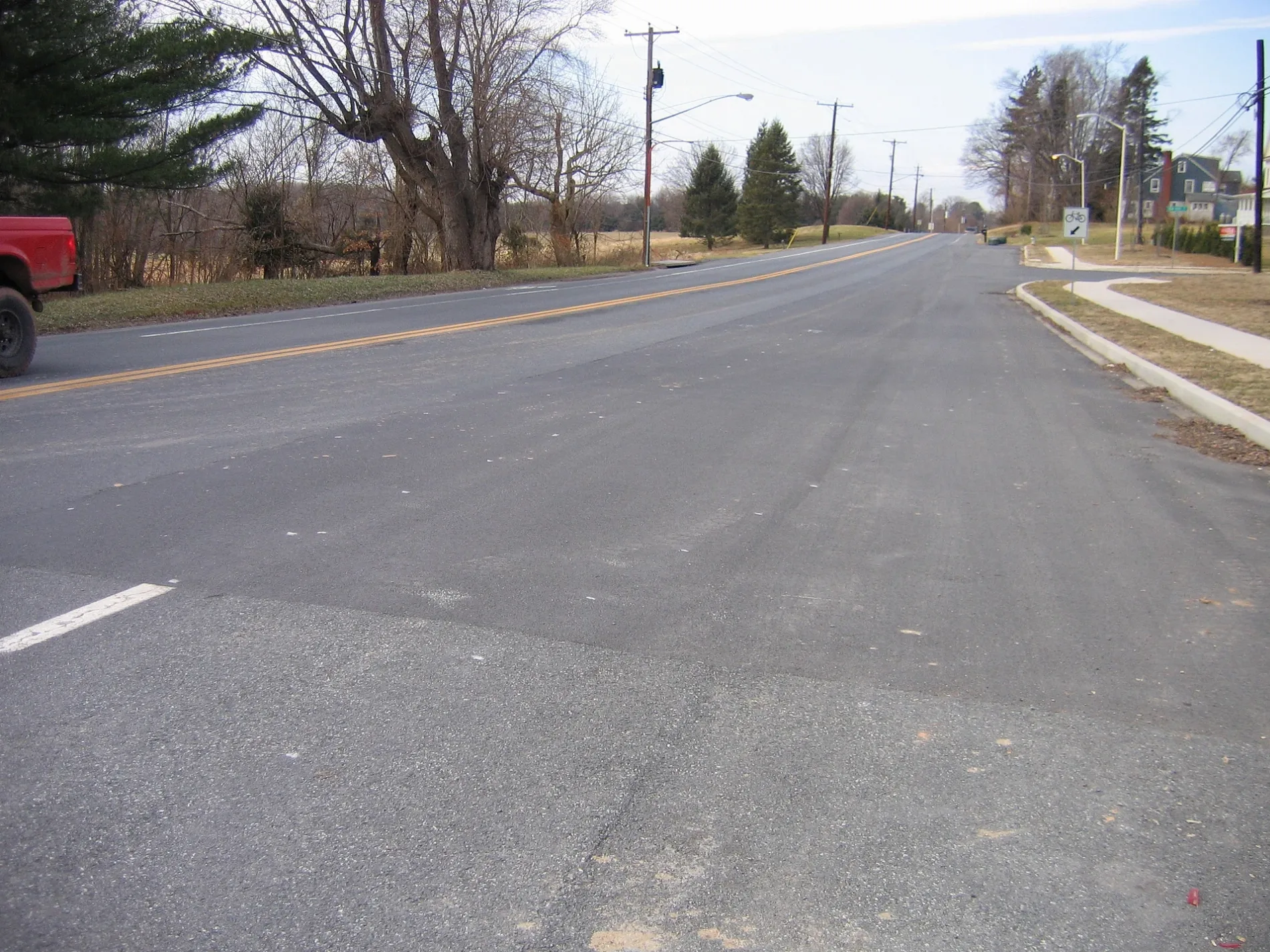
Turkey Foot Court in Gaithersburg, MD 20878 (Montgomery County) is a residential street. It runs in a north-south direction and ends at Turkey Foot Road, while the other end is a cul-de-sac.
- Road Type
- residential street
- Route
- north-south
Image
Streets nearby
Turkey Run Court0.1 mi
Turkey Foot RoadSeneca Highlands, Windmill Farm
0.1 mi
Country Glen Court0.2 mi
Darnestown RoadFairhaven United Methodist Church, Gaithersburg Chinese Alliance Church, Shell, Surrey Saddlery, Beallsville, Lees Corner, Inferno Pizzeria Napoletana, Capital One, Sunoco, Chop Shop, Quickway, Pleasant View Church, Dawsonville, Hunting Hill
0.2 mi
Park Access Trail0.2 mi
Eden Rock Court0.3 mi
Masonwood Drive0.3 mi
Indian Run Drive0.3 mi
Vicars Way0.3 mi
Indian Run Court0.4 mi
Golden Fields Court0.4 mi
Mocking Bird DriveDarnestown Knolls
0.5 mi
Gretna Green Drive0.5 mi
Haddonfield Lane0.6 mi
Water Oak Drive0.6 mi
Rollinmead Drive0.6 mi
Braemar Crescent WayHighlands of Darnestown
0.6 mi
Wye Oak Drive0.6 mi
Bondy Lane0.7 mi
Chestnut Oak DriveAncient Oak
0.8 mi
Haddonfield WayMitchells Range
0.8 mi
Seneca RoadDarnestown, 6 Twelve Food Mart, Beer & Wine, Seneca
0.8 mi
Pulver Place0.8 mi
Dodie Drive0.8 mi
Brickhowe Court0.8 mi
Cervantes Avenue0.9 mi
Hadcon Trail0.9 mi
Comstock Court0.9 mi
Pagano LanePioneer Hills
0.9 mi
Natchez Drive0.9 mi
Spring Meadows DriveBrowns Corner, Spring Meadows
0.9 mi
Germantown RoadBrownstown, Dunkin', Baskin-Robbins, Wells Fargo, GetCoins Bitcoin ATM, LongHorn Steakhouse, Burger King, W Express, KinderCare, Mi Rancho
1.0 mi
Deep Bottom Road1.0 mi
Citizens Lane1.0 mi
Bonniebank Terrace1.0 mi
Pioneer Hills Drive1.0 mi
Seneca Ridge TrailSeneca Ridge Trailhead
1.0 mi
Buildings nearby
Shell Gas Station0.3 mi
Cemeteries nearby
Darnestown United Presbyterian Cemetery0.3 mi
Kindergartens nearby
Seneca Academy0.7 mi
Parks nearby
Darnestown Heritage Park0.3 mi
Darnestown Local Park - Cliff Bland Recreation Area0.3 mi
Places of worship nearby
Darnestown United Presbyterian Church0.3 mi
Our Lady of the Visitation0.4 mi
Saint Nicholas Episcopal Church0.6 mi
School buildings nearby
Butler Montessori0.8 mi
Bulter Montessori0.8 mi
Supermarkets nearby
Harris Teeter0.2 mi
Waters nearby
New Reservoir0.7 mi
Public transit map Montgomery County Legend
| Railway | |
| Bus | |
| Streetcar |
Bicycle map Montgomery County Legend
| Bike path | |
| Bike lane on roadway | |
| Cycling allowed on bus lane | |
| Bicycle street | |
| Open to cyclists | |
| Open to cyclists, good path | |
| Cycling prohibited | |
| Cobblestone |
| Long-distance bike route | (depending on scale) | |
| Long-distance bike route |
Pedestrian map Montgomery County Legend
| Path |
| Long-distance hiking trail | (depending on scale) | |
| Long-distance hiking trail | ||
| Pedestrians prohibited |