
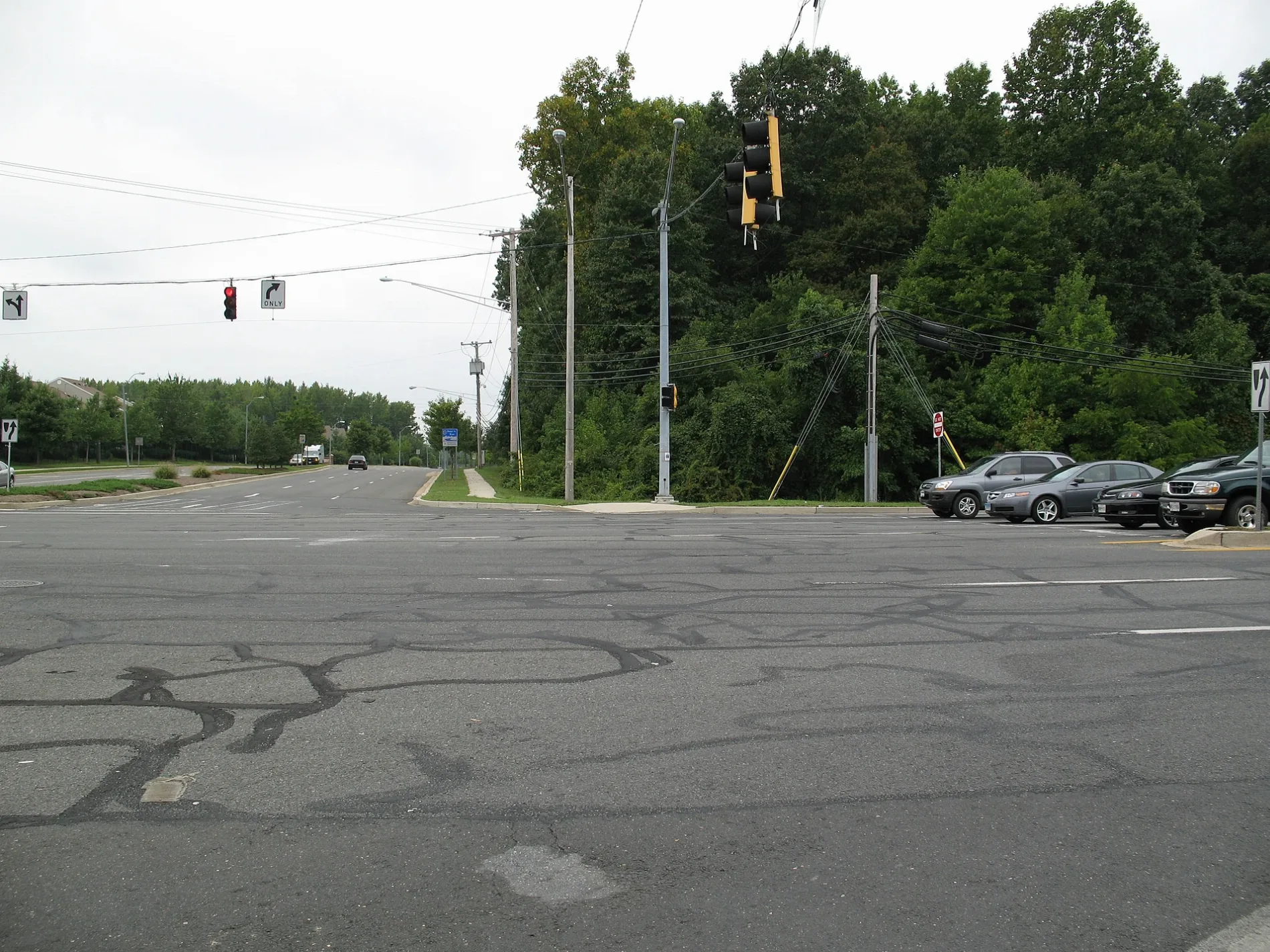
Hawk Lane in Bowie, Maryland
Hawk Lane in Bowie is a residential street and runs in a southeast-northwest direction starting from Hindle Lane and ends in a cul-de-sac.
- Road Type
- residential street
- Route
- southeast-northwest
Image
Banks
Stationery stores
Pet stores
Cafes
Schools
Bus stops
Furniture stores
Auto repair shops
Restaurants
Department stores
Fast food restaurants
Car rentals
Convenience stores
Auto parts stores
Shoe stores
Streets nearby
Hallow Lane300 ft
Helm Place550 ft
Hindle Lane0.1 mi
Harbour WayTiger Mart
0.2 mi
Hanson Court North0.2 mi
Harwood LaneHeather Hills
0.2 mi
Hollins Place0.2 mi
Heritage BoulevardEnterprise
0.2 mi
Mitchellville RoadMitchellville Rd at Arbor Hill Ln, Mitchellville Rd at N Platte Dr, Mitchellville Rd at Alameda Dr, Mitchellville Rd at Excalibur Rd, Mitchellville Rd at Atlantis Dr, Taco Bell, Mitchellville Rd at Harbour Wy, Mitchellville Rd at Heritage Bl, National Capital Radio & Television Museum, Mitchellville Rd at Fred Robinson Wy, Mitchellville Rd at Northview Dr, Mitchellville Rd at N Oak Ct, Mitchellville Rd at Nemo Ct, Mitchellville Rd at Lake Village Manor, Mitchellville Rd at Alderwood Ln, Mitchellville Rd at Piller Ln, Mitchellville Rd at Mt Oak Rd
0.2 mi
Haskell Lane0.2 mi
English Oaks Avenue0.3 mi
Holiday Lane0.3 mi
Hyde Lane0.3 mi
North West Crain HighwayPublic Storage
0.3 mi
Ettrick Court0.3 mi
Hadley Lane0.3 mi
North East Crain Highway0.3 mi
Ellipse Terrace0.3 mi
Hoven Lane0.3 mi
Elan Court0.4 mi
Hillman Place0.4 mi
Collington RoadNavy Federal Credit Union, Speed Camera, Collington Rd at Mitchellville Rd, Collington Rd at Holiday Ln, TD Bank, Foxhill Recreation Center
0.4 mi
Elkhorn Lane0.4 mi
Ballpark RoadSubway
0.4 mi
Kernel Circle0.4 mi
Kinderbrook Lane0.4 mi
John Hanson HighwayBurgos
0.4 mi
East Ballpark RoadChick-fil-A, Valvoline
0.5 mi
Banks nearby
Truist0.3 mi
Buildings nearby
On The Border0.4 mi
Car dealerships nearby
Toyota of Bowie0.5 mi
Kia of Bowie0.6 mi
Ourisman Chevrolet of Bowie0.6 mi
Convenience stores nearby
Dash In0.3 mi
Market Place0.4 mi
Craft stores nearby
Michaels0.3 mi
Department stores nearby
Kohl's0.1 mi
Fast food restaurants nearby
Wendy's0.2 mi
McDonald's0.3 mi
Raising Cane's0.3 mi
Gas stations nearby
Exxon0.3 mi
Sunoco0.4 mi
Hardware stores nearby
Lowe's0.3 mi
The Home Depot0.5 mi
Hotels nearby
Comfort Inn0.4 mi
Restaurants nearby
Bob Evans0.3 mi
Carrabba's Italian Grill0.4 mi
Retail areas nearby
Bowie Gateway Center0.4 mi
Streams nearby
Green Branch0.3 mi
 Public transit map Bowie Legend
| Railway | |
| Bus | |
| Streetcar |
 Bicycle map Bowie Legend
| Bike path | |
| Bike lane on roadway | |
| Cycling allowed on bus lane | |
| Bicycle street | |
| Open to cyclists | |
| Open to cyclists, good path | |
| Cycling prohibited | |
| Cobblestone |
| Long-distance bike route | (depending on scale) | |
| Long-distance bike route |
 Pedestrian map Bowie Legend
| Path |
| Long-distance hiking trail | (depending on scale) | |
| Long-distance hiking trail | ||
| Pedestrians prohibited |