
Armstrong Court in Laurel, Maryland
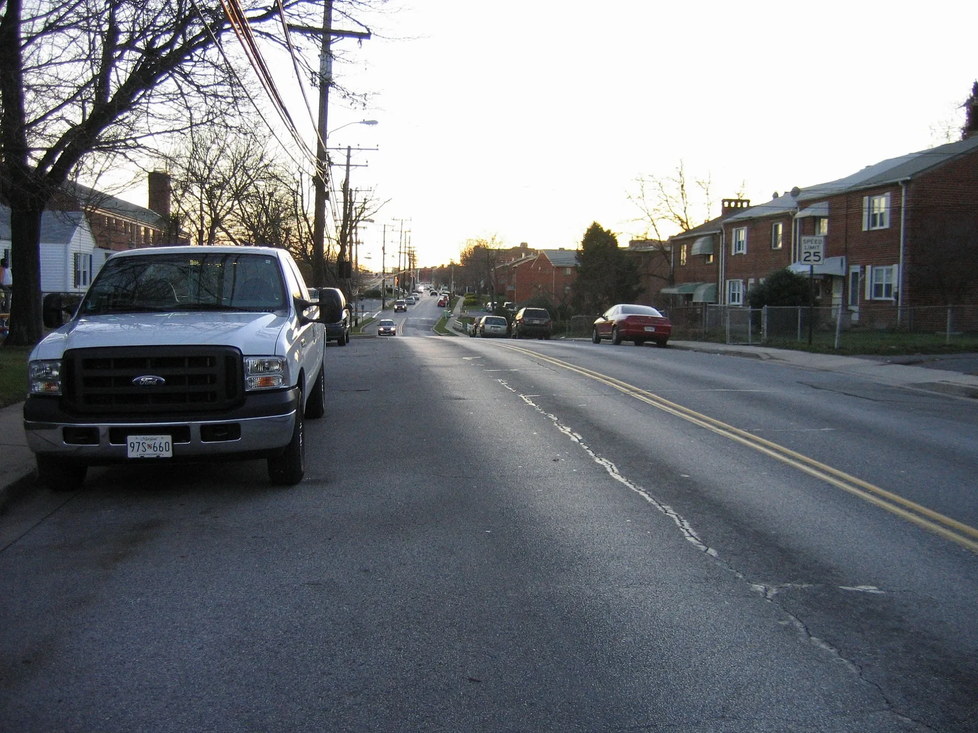
Armstrong Court in Laurel is an asphalted residential street and runs in a southeast-northwest direction and ends at 4th Street, while the other end is a cul-de-sac. The nearest bus stop is 4th St / Marshall Ave (about 100 m away). Armstrong Court also exists in Cecil County.
- Road Type
- residential street
- Route
- southeast-northwest
Image
Fast food restaurants
Vape shops
Gift shops
Hair salons
Shoe stores
Bus stops
Beauty salons
Variety stores
Cell phone stores
Restaurants
Places of worship
Clothing stores
Auto parts stores
Opticians
Department stores
Streets nearby
Marshall Court350 ft
Montrose AvenueMontrose Av at 7 St
550 ft
4th StreetD'Angelo's Pizza & Subs, 4th St & Montrose Ave, 4th St / Montrose Ave (Northbound), 4th St / Greenhill Ave, 4 St at Montrose Av, 4 St at Green Hill Av, VapeSwitch, Remnant Fellowship Worship Center, 4th St / Marshall Ave, Towne Centre Laurel, 4 St at Ashford Bl, Tesla Supercharger
0.1 mi
Domer Court0.1 mi
Kay CourtFirst Baptist School of Laurel
0.1 mi
Marshall AvenueLaurel College Center, Firehouse Subs, Quickway Japanese Hibachi, Marshall Ave / Laurel College Center (Westbound)
0.1 mi
5th StreetFirst Baptist Church of Laurel
0.1 mi
Thomas Drive0.1 mi
8th Street8 St at Gorman Av
0.2 mi
Armstrong AvenuePalacio de Peru, Tropical Smoothie Cafe, Love Life Cafe
0.2 mi
Fairlawn Avenuenegril Jamaican Eatery, Sally Beauty, Marshalls, T-Mobile, Shoe City, Dollar City & More, El Charro Restaurant, Chuck E. Cheese, Advance Auto Parts, Subway, Curvy Girl, Doors to Africa, KPOT Korean BBQ & Hot Pot, Visionworks, Beauty Nails, Mr. Smith's Barber Studio
0.2 mi
Karen Court0.2 mi
7th Street7 St at Main St, 7 St at Talbott Av
0.2 mi
Gorman AvenueGorman Av at 4 St, Gorman Ave / Thomas Dr, Gorman Av at Thomas Dr, CVS Pharmacy, Alma Latina Restaurant, Gorman Av at 8 St
0.2 mi
Domer AvenueBart's Full Service Barber Shop, Astor Liquors, 5th Avenue Beauty, Mad Cow Grill, HomeGoods, Harbor Freight Tools, Fifth Avenue Wigs, Hobby Works
0.2 mi
Baltimore AvenueCricket Wireless, McCormick Paints, AT&T
0.2 mi
Laureland Place0.2 mi
Washington BoulevardPM Pediatrics, Corazon Latino Hail Salon, Chase, Crown, All Tune and Lube Total Car Care, Washington Blvd / Laurel Ave, Walgreens, TD Lounge, Washington Boulevard and Prince George Street, Batteries Plus Bulbs
0.3 mi
Baltimore Street0.3 mi
Wheatland Place0.3 mi
Compton AvenueWashington Blvd / Compton Ave
0.3 mi
Ashford Boulevard4th St / Fenwick Ct
0.3 mi
Auto repair shops nearby
Merchant's Tire & Auto Center0.3 mi
Wilson Tire and Auto Service0.3 mi
Banks nearby
Bank of America0.1 mi
Capital One0.2 mi
Wells Fargo0.3 mi
Bars nearby
Laurel Station Bar & Grill0.3 mi
Buildings nearby
Elizabeth House0.2 mi
Toucan Taco0.3 mi
Car dealerships nearby
Kia Laurel0.3 mi
Car washes nearby
Laurel Car Wash0.2 mi
Dry cleaners nearby
Big Top Cleaners150 ft
Fast food restaurants nearby
Pollo Campero0.2 mi
Dunkin'0.3 mi
McDonald's0.3 mi
Popeyes0.3 mi
Panera Bread0.3 mi
Gas stations nearby
Express Fuel0.2 mi
Exxon0.3 mi
Laundries nearby
Super Suds0.3 mi
Movie theaters nearby
Regal's Cinema 120.3 mi
Parks nearby
Larry T. Smith Memorial Park0.2 mi
Produce markets nearby
Indus Foods200 ft
Restaurants nearby
Wenny's0.2 mi
IHOP0.3 mi
Retail areas nearby
Laurel Shopping Center0.2 mi
Supermarkets nearby
Giant0.1 mi
Supplement stores nearby
The Vitamin Shoppe0.3 mi
Public transit map Laurel Legend
| Railway | |
| Bus | |
| Streetcar |
Bicycle map Laurel Legend
| Bike path | |
| Bike lane on roadway | |
| Cycling allowed on bus lane | |
| Bicycle street | |
| Open to cyclists | |
| Open to cyclists, good path | |
| Cycling prohibited | |
| Cobblestone |
| Long-distance bike route | (depending on scale) | |
| Long-distance bike route |
Pedestrian map Laurel Legend
| Path |
| Long-distance hiking trail | (depending on scale) | |
| Long-distance hiking trail | ||
| Pedestrians prohibited |