
Bryan Court in Laurel, Maryland
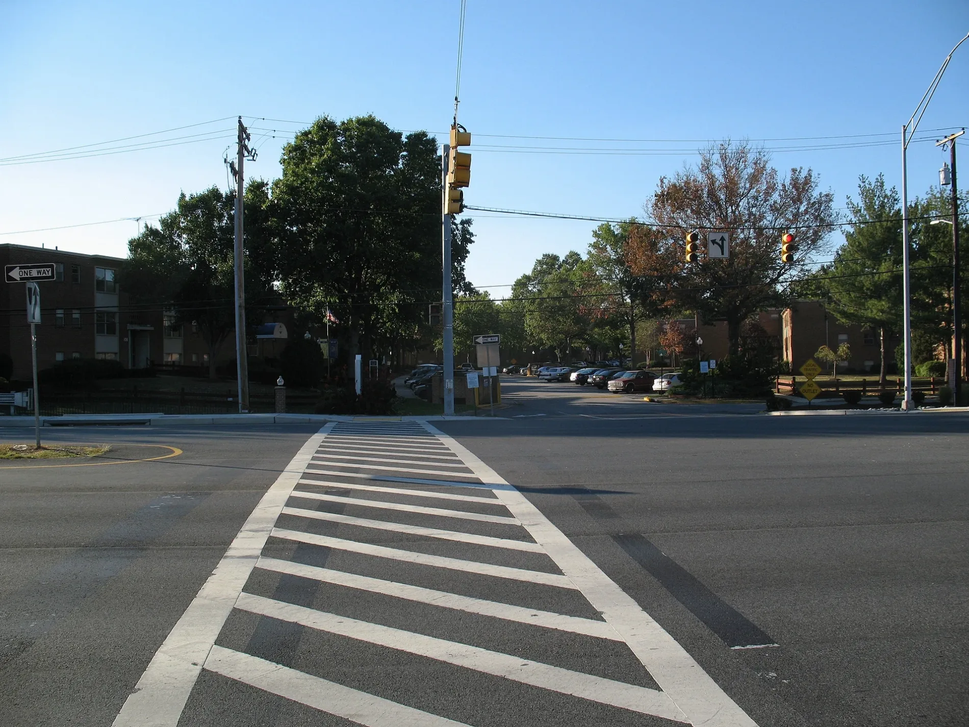
Bryan Court in Laurel is a residential street and it runs as a one-way street in a southeast-northwest direction starting from Irving Street and ends at Parkside Drive. The nearest bus stop is Laurel Bowie Rd at Ft Meade Rd (about 150 m away).
- Road Type
- residential street
- Route
- southeast-northwest
Image
Restaurants
Fast food restaurants
Secondhand stores
Cell phone stores
Bus stops
Hair salons
Paint stores
Supermarkets
Pharmacies
Charging stations
ATMs
Clinics
Streets nearby
Parkside Drive200 ft
Sharon Court300 ft
Morris Drive300 ft
Woodland Court450 ft
Laurel Bowie RoadLaurel Bowie Rd at Ft Meade Rd, Laurel-Bowie Rd at Morris Dr
500 ft
Scott Adam Court0.1 mi
Fort Meade RoadBank of America, Jerrys Subs, Manila Asian Foods, Tesla Supercharger
0.1 mi
Dell Place0.1 mi
Irving Street0.2 mi
Lafayette AvenueLaurel, Christian Auto Body
0.2 mi
Morton Place0.2 mi
Buckingham Court0.2 mi
Elaine Court0.2 mi
Normandy Court0.2 mi
Marshall AvenueLaurel College Center, Firehouse Subs, Quickway Japanese Hibachi, Marshall Ave / Laurel College Center (Westbound)
0.2 mi
Greenview Drive0.3 mi
Gorman AvenueGorman Av at 4 St, Gorman Ave / Thomas Dr, Gorman Av at Thomas Dr, CVS Pharmacy, Alma Latina Restaurant, Gorman Av at 8 St
0.3 mi
Spring House Lane0.3 mi
Golf Crest Drive0.3 mi
Shiloh Court0.3 mi
Snead Court0.3 mi
Talbott AvenueTalbott Av at 4 St, Talbott Av at Washington Bl
0.3 mi
Baltimore Street0.3 mi
Nicklaus Lane0.3 mi
Parkview Way0.3 mi
Palmer Place0.3 mi
2nd Street2nd St / Laurel Ave, 2 St+Laurel Av, 2nd St / Main St, Laurel, Pasta Plus, US 1 @ Little Montgomery Ave
0.3 mi
Philip Court0.4 mi
Player Drive0.4 mi
Trevino Terrace0.4 mi
Huntington Court0.4 mi
Bowie Road0.4 mi
Hance Place0.4 mi
Clubhouse Boulevard0.4 mi
Clubhouse Drive0.4 mi
Apartment buildings nearby
Steward Tower0.2 mi
Banks nearby
M&T Bank0.3 mi
Buildings nearby
Laurel Volunteer Rescue Squad Station 490.2 mi
AMF Laurel Lanes0.3 mi
Convenience stores nearby
APlus0.3 mi
Gas stations nearby
Wawa0.2 mi
Sunoco0.3 mi
Hardware stores nearby
The Home Depot0.3 mi
Railways nearby
Capital Subdivision0.2 mi
Restaurants nearby
Irene's El Cacharrito0.2 mi
Variedades El Toro0.3 mi
Retail areas nearby
Crossroads of Laurel0.3 mi
Gorman Plaza0.3 mi
Secondhand stores nearby
Red White & Blue0.2 mi
Public transit map Laurel Legend
| Railway | |
| Bus | |
| Streetcar |
Bicycle map Laurel Legend
| Bike path | |
| Bike lane on roadway | |
| Cycling allowed on bus lane | |
| Bicycle street | |
| Open to cyclists | |
| Open to cyclists, good path | |
| Cycling prohibited | |
| Cobblestone |
| Long-distance bike route | (depending on scale) | |
| Long-distance bike route |
Pedestrian map Laurel Legend
| Path |
| Long-distance hiking trail | (depending on scale) | |
| Long-distance hiking trail | ||
| Pedestrians prohibited |