
Snead Court in Laurel, Maryland
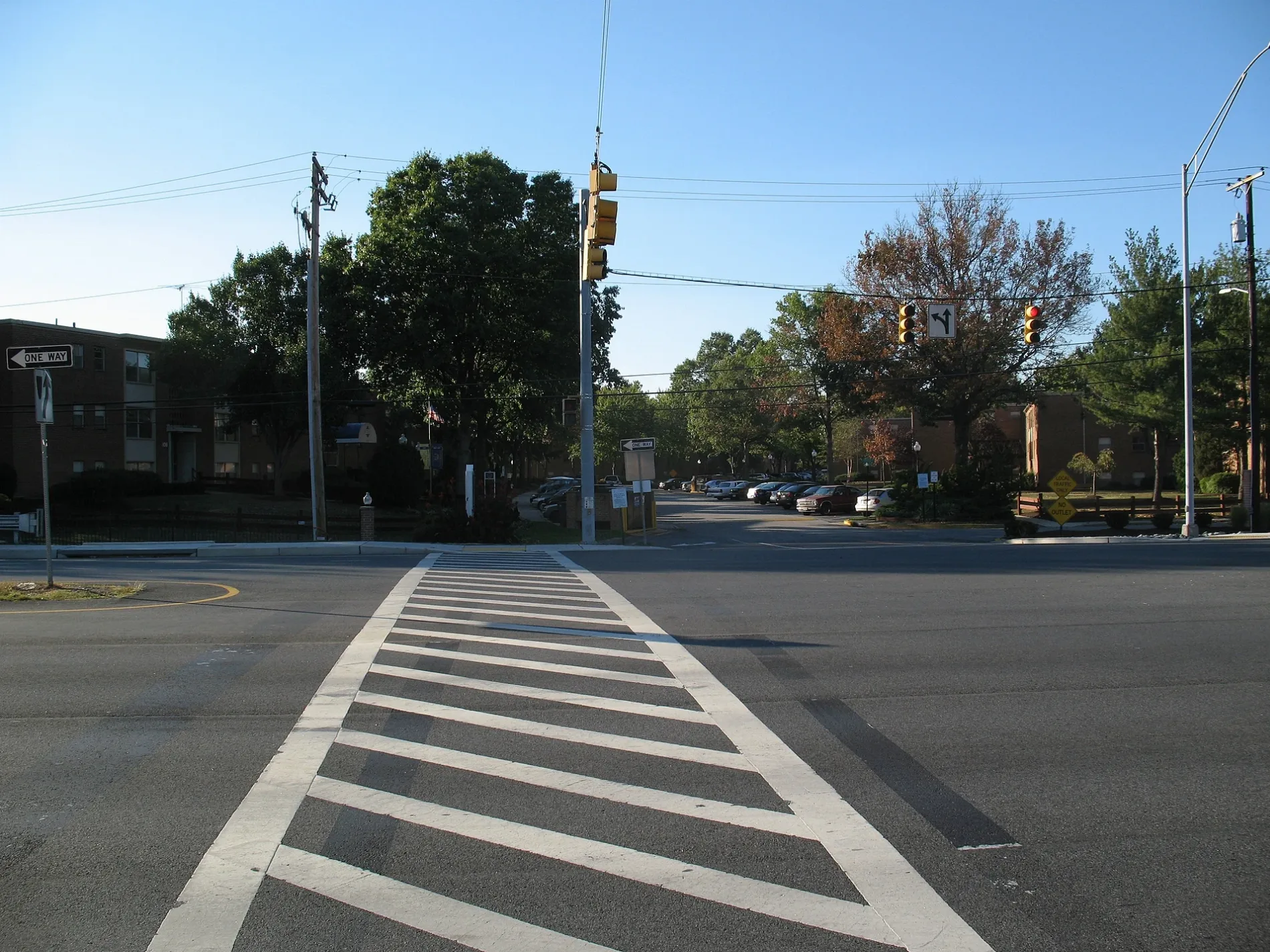
Snead Court in Laurel is a residential street and it runs in a northeast-southwest direction and ends at Parkview Way, while the other end is a cul-de-sac.
- Road Type
- residential street
- Route
- northeast-southwest
Image
Restaurants
ATMs
Places of worship
Clinics
Bus stops
Paint stores
Charging stations
Secondhand stores
Hair salons
Fast food restaurants
Supermarkets
Pharmacies
Cell phone stores
Electronics stores
Streets nearby
Nicklaus Lane300 ft
Parkview Way500 ft
Golf Crest Drive500 ft
Trevino Terrace0.1 mi
Palmer Place0.1 mi
Player Drive0.2 mi
Spring House Lane0.2 mi
Bear Branch Road0.2 mi
Swanson Creek Terrace0.2 mi
Clubhouse Drive0.2 mi
Greenview Drive0.2 mi
Clubhouse Boulevard0.3 mi
Hawlings River Road0.3 mi
Lyons Creek Drive0.3 mi
Collington Place0.3 mi
Laurel Bowie RoadLaurel Bowie Rd at Ft Meade Rd, Laurel-Bowie Rd at Morris Dr
0.3 mi
Hilltop Court0.3 mi
Normandy Court0.3 mi
Buckingham Court0.3 mi
Patuxent Greens Drive0.3 mi
Bryan CourtSteward Manor
0.3 mi
Battle Creek Way0.3 mi
Bowie Road0.3 mi
Green Branch Road0.3 mi
Scott Adam Court0.3 mi
Western Branch Way0.3 mi
Parkside Drive0.4 mi
Morris Drive0.4 mi
Sharon Court0.4 mi
Shiloh Court0.4 mi
Crow Branch Place0.4 mi
Irving Street0.4 mi
Summit Lane0.4 mi
Woodland Court0.4 mi
Mill Branch Drive0.4 mi
Dell Place0.4 mi
Creekview Drive0.5 mi
Fort Meade Road0.5 mi
Cherry LaneMistletoe Springs, Big Bazaar, American Cardiovascular, Mattress Firm
0.5 mi
Briarchip Court0.6 mi
Briarchip Street0.6 mi
Apartment buildings nearby
Steward Tower0.2 mi
Buildings nearby
Dutch Country Farmers Market0.3 mi
Gas stations nearby
Wawa0.4 mi
Hardware stores nearby
The Home Depot0.3 mi
Recreation grounds nearby
Laurel Golf & Recreation0.6 mi
Restaurants nearby
Irene's El Cacharrito0.3 mi
El Patron0.4 mi
Rivers nearby
Patuxent River0.6 mi
Public transit map Laurel Legend
| Railway | |
| Bus | |
| Streetcar |
Bicycle map Laurel Legend
| Bike path | |
| Bike lane on roadway | |
| Cycling allowed on bus lane | |
| Bicycle street | |
| Open to cyclists | |
| Open to cyclists, good path | |
| Cycling prohibited | |
| Cobblestone |
| Long-distance bike route | (depending on scale) | |
| Long-distance bike route |
Pedestrian map Laurel Legend
| Path |
| Long-distance hiking trail | (depending on scale) | |
| Long-distance hiking trail | ||
| Pedestrians prohibited |