
Main Street in Bourne, Massachusetts
Main Street in Bourne is a two-lane, asphalted secondary road. The street has a width of 21.3. It runs in an east-west direction starting from West End Rotary and crosses Washington Avenue, Belmont Circle, Old Bridge Road, Academy Drive, Canal Street, Wallace Avenue, Holt Road, Saint Margarets Street, Smalley Road, Harrison Avenue and Kendall Rae Place. This street is part of the Bicycle route "East Coast Greenway (MA complementary Cape Cod route)". Nearby you can find among others 5 restaurants, 4 hair salons, 3 fast food restaurants and 3 gas stations. The nearest stop is Buzzards Bay (about 150 m away). The bus lines 2, 4, Bourne, Link 2, Patriot, Sandwich and Wareham/Middleborough/Lakeville serve this stop. Main Street also exists in Brewster, Chatham, Eastham, Falmouth and Harwich.
- Road Type
- secondary road
- Lanes
- 1
- Speed Limit
- 25 mph
- Route
- east-west
Image
Hair salons
Pet grooming salons
Motels
Veterinary clinics
Pubs
Vape shops
Restaurants
Bookstores
Community centers
Opticians
Places of worship
Ice cream shops
Car dealerships
Antique stores
Tattoo studios
Kitchen studios
Fast food restaurants
Gas stations
Streets nearby
West End Rotary150 ft
Buzzards Bay BypassLiberty Warehouse Liqours, Ocean State Job Lot, Bay Community Alliance Church
300 ft
Bourne Avenue450 ft
Academy DriveBuzzards Bay, Merchant Marine Memorial, Camps and Conferences
450 ft
Cranberry HighwayStop and Shop, East Wind Lobster and Grille
0.1 mi
Gardiner Road0.1 mi
Taylor Road0.1 mi
Eldridge Avenue0.1 mi
Eldridge Avenue Extension0.1 mi
Lafayette Avenue0.2 mi
Cohasset AvenueAllergy and Asthma Associates, Veterinary Cancer Specialists of New England, Capeway Cleaners - Buzzards Bay, Eagles Lodge
0.2 mi
Plaza Lane0.2 mi
Canal StreetBuzzards Bay, Marylous Coffee
0.2 mi
Buzzards Bay Avenue0.2 mi
Franklin Avenue0.2 mi
Lincoln Avenue0.2 mi
Electric Avenue0.2 mi
Washington Avenue0.2 mi
Center Avenue0.2 mi
Wilson Avenue0.2 mi
Wallace AvenueBuzzards Bay Bikes
0.3 mi
Puritan Road0.3 mi
Nick Vedder Road0.3 mi
Holt RoadCumberland Farms, Music of the Bay
0.3 mi
Saint Margarets StreetA Shear Experience
0.3 mi
Tucy Avenue0.4 mi
Smalley RoadSaint Peter's Episcopal Church
0.4 mi
Canal View Road0.4 mi
Alden Avenue0.4 mi
Harrison AvenueCanal Cruisers Bicycles
0.5 mi
Armory RoadBourne Police Department
0.5 mi
Abandoned railways nearby
Cape Main (1914-1935)0.2 mi
Falmouth Secondary (1914-1935)0.2 mi
Cape Main Subdivision (1872-1914)0.3 mi
Beaches nearby
Electric Avenue Beach0.2 mi
Buildings nearby
Buzzards Bay Interlocking Tower0.1 mi
Buzzards Bay Splash Park Entry Building0.2 mi
Fire stations nearby
Bourne Fire Department Station 10.3 mi
Marinas nearby
Bourne Marina0.1 mi
Parks nearby
Buzzards Bay Park0.1 mi
Butler Memorial Park0.4 mi
Playgrounds nearby
Buzzards Bay Splash Park0.2 mi
Railways nearby
Cape Main Subdivision450 ft
Cape Main (1872-1914)0.1 mi
Cape Cod Canal Railroad Bridge0.2 mi
Recreation grounds nearby
Cape Cod Canal Access0.2 mi
Shelters nearby
Covered Seating Area0.2 mi
Train stations nearby
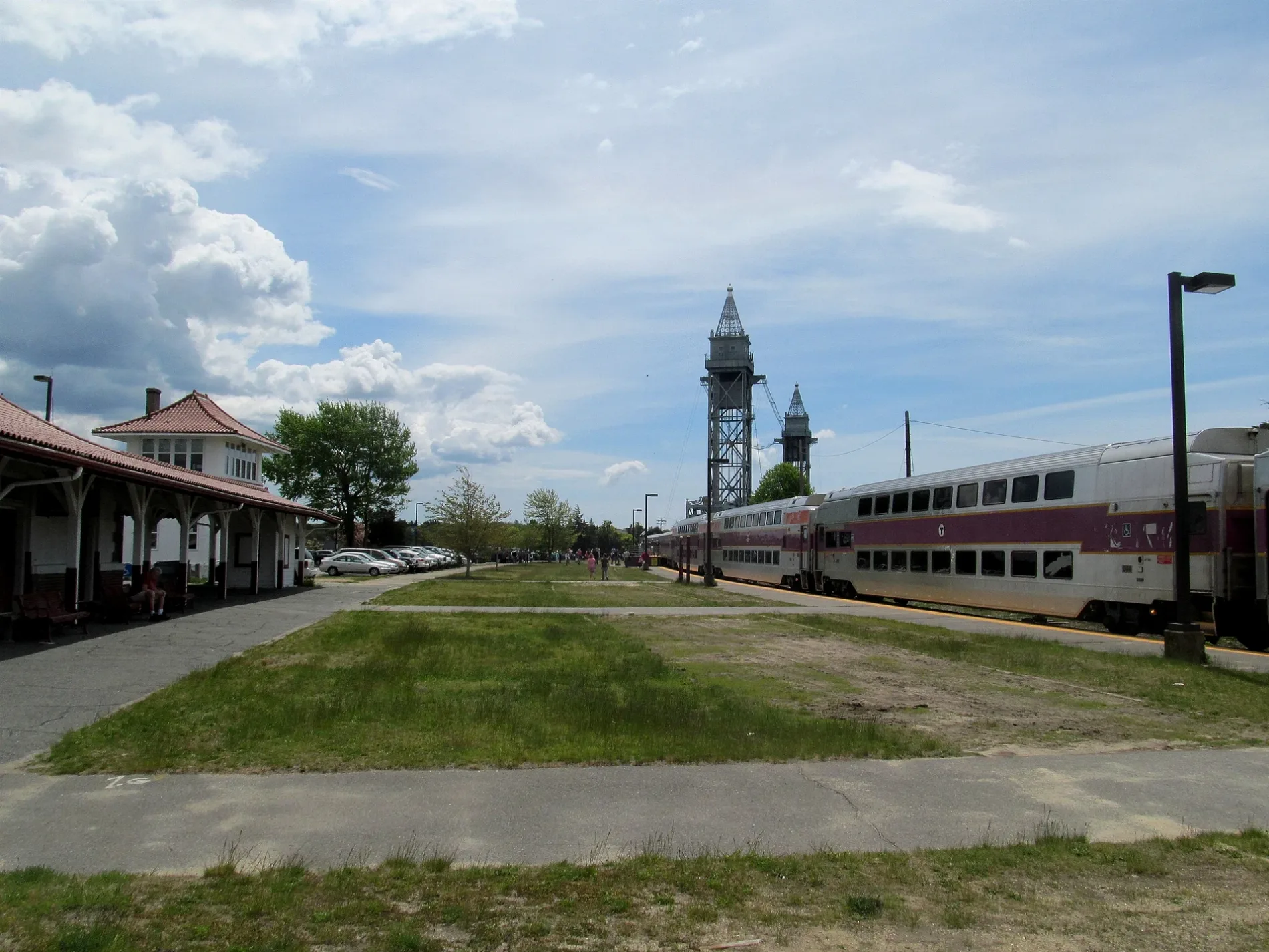
Buzzards Bay450 ft
Veterinary clinics nearby
National Marine Life Center0.2 mi
 Public transit map Bourne Legend
| Railway | |
| Bus | |
| Streetcar |
 Bicycle map Bourne Legend
| Bike path | |
| Bike lane on roadway | |
| Cycling allowed on bus lane | |
| Bicycle street | |
| Open to cyclists | |
| Open to cyclists, good path | |
| Cycling prohibited | |
| Cobblestone |
| Long-distance bike route | (depending on scale) | |
| Long-distance bike route |
 Pedestrian map Bourne Legend
| Path |
| Long-distance hiking trail | (depending on scale) | |
| Long-distance hiking trail | ||
| Pedestrians prohibited |