
Barn Loop in Monterey, Massachusetts
Barn Loop in Monterey is a unpaved footpath. The street has a road width of 1 m.
- Road Type
- footpath
Image
Viewpoints
Town halls
Bakeries
Museums
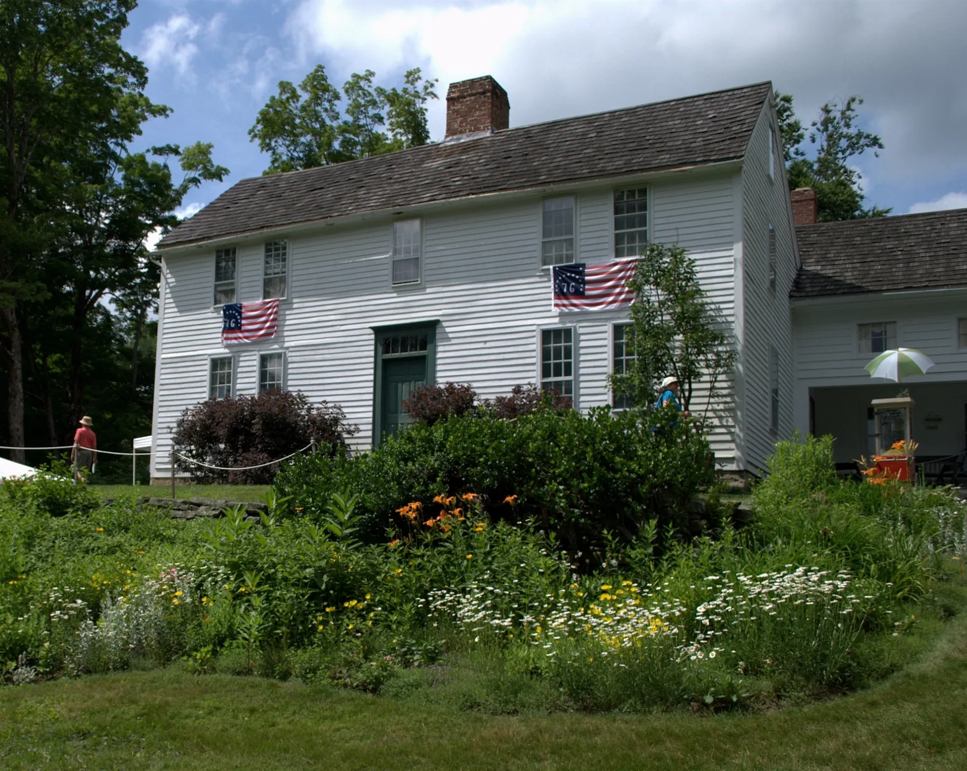
- Bidwell House Museum (Bidwell House Museum, opening hours: May: Mon [-1] - Oct Mo[2] " Tours available by reservation only from Memorial Day to Columbus Day", Web) at Art School Road 100 (01245) – approx. 250 ft.
- Carriage Barn - Exhibits (Web) – approx. 300 ft.
- Horse Barn Exhibits (Web) – approx. 300 ft.
Shelters
Restaurants
Conference centers
Tourist information centers
Places of worship
Police stations
Schools
Streets nearby
Three Wives WalkPiggery - Exhibits, Trailhead Kiosk and Map
200 ft
Farm Road250 ft
Accessible WalkwayBidwell House Museum, Horse Barn Exhibits, Carriage Barn - Exhibits
350 ft
Woods Road500 ft
South Field Connector Trail500 ft
North Field Connector TrailNative American Exhibits
550 ft
Art School Road0.1 mi
Cellar Hole Trail0.1 mi
"Indian Path" - primitive0.1 mi
Sugarbush Trail0.1 mi
Post Road Trail - Cellar Hole-Loom Brook Connector0.2 mi
Royal Hemlock TrailTrailhead Kiosk and Map
0.2 mi
Turkeybush Trail0.2 mi
Cairn Trail0.2 mi
Meeting House Loop TrailInformation Kiosk and Trailhead Maps
0.2 mi
Stone Wall - Meeting House Connector West0.2 mi
Ledge Trail (Meetinghouse-Stone Wall Connector East)0.2 mi
Stone Wall Loop - West0.3 mi
Champion Oak Tree Trail - South Loop0.3 mi
Loom Brook Trail0.3 mi
Stone Wall Loop - East0.3 mi
Orton Trail - Champion Oak - Loom Brook Connector0.3 mi
Carrington-Battelle Road0.3 mi
Champion Oak Tree - Middle Loop0.3 mi
Penny's Trail - Stone Wall - Loom Brook Connector0.3 mi
Champion Oak Trail - North Loop0.3 mi
Mill Site Stub Trail0.4 mi
McCollum Trail0.4 mi
Charcoal Hearth Trail0.4 mi
Old Royal Hemlock Road0.4 mi
Royal Hemlock Road0.5 mi
Griswold Road0.7 mi
Brett Road0.7 mi
Fairview Road0.7 mi
Beartown Mountain RoadOur Lady of the Hills Church
0.8 mi
Heron Pond Park1.0 mi
Hupi Road1.0 mi
Tyringham Road1.0 mi
Brace Road1.3 mi
Leisure nearby
Parade Grounds0.7 mi
Barns nearby
Piggery150 ft
Horse Barn350 ft
Buildings nearby
Bidwell House Museum250 ft
Cemeteries nearby
Old Center Cemetery0.6 mi
Woods Cemetery0.9 mi
Dams nearby
Steadman Pond Dam1.0 mi
Nature reserves nearby
Bidwell House Museum, Gardens and Trails0.4 mi
Streams nearby
Loom Brook1.1 mi
Waters nearby
Steadman Pond1.0 mi
 Public transit map Monterey Legend
 | Railway | |
| Bus | |
| Streetcar |
 Bicycle map Monterey Legend
 | Bike path | |
| Bike lane on roadway | |
| Cycling allowed on bus lane | |
| Bicycle street | |
| Open to cyclists | |
| Open to cyclists, good path | |
| Cycling prohibited | |
| Cobblestone |
| Long-distance bike route | (depending on scale) | |
| Long-distance bike route |
 Pedestrian map Monterey Legend
 | Path |
| Long-distance hiking trail | (depending on scale) | |
| Long-distance hiking trail | ||
| Pedestrians prohibited |