
Jerusalem Road in Tyringham, Massachusetts
Jerusalem Road in Tyringham is a two-lane residential street. The street has a width of 7.6. It runs in a southeast-northwest direction and crosses Breakneck Road, Brace Road, Mccarthy Road, McCarthy Road and Church Street and ends at Main Road, while the other end is a cul-de-sac. This street is part of the Hiking trail "Appalachian Trail". Nearby there is a post office. Jerusalem Road also exists in Franklin County and Bristol County.
- Road Type
- residential street
- Lanes
- 2
- Route
- southeast-northwest
Image
Post offices
Streets nearby
Tyringham Cobble Loop0.1 mi
Church Road0.2 mi
Appalachian TrailShaker camp
0.3 mi
Main RoadTyringham Police Department, Tyringham Free Public Library, Tyringham Town Hall, Tyringham
0.3 mi
Church Street0.3 mi
Pavilion Trail0.5 mi
Mccarthy Road0.6 mi
George Canon Road1.4 mi
Brace Road1.6 mi
Breakneck Road1.6 mi
Webster Road1.7 mi
Monterey Road1.8 mi
Fenn Road1.9 mi
Beartown Mountain RoadOur Lady of the Hills Church
2.0 mi
Old Royal Hemlock Road2.0 mi
McDarby Road2.0 mi
Goose Pond Road2.0 mi
Charcoal Hearth Trail2.0 mi
Royal Hemlock Road2.0 mi
McCollum Trail2.0 mi
Champion Oak Trail - North Loop2.1 mi
Beach Road2.1 mi
Stonebridge Way2.1 mi
Coopertown Road2.1 mi
Champion Oak Tree - Middle Loop2.2 mi
Champion Oak Tree Trail - South Loop2.2 mi
Orton Trail - Champion Oak - Loom Brook Connector2.2 mi
Turkeybush Trail2.3 mi
Royal Hemlock TrailTrailhead Kiosk and Map
2.3 mi
Leisure nearby
Tyringham Pool0.4 mi
Buildings nearby
Terrence F. Curtin Pavilion0.6 mi
Visitation Monestary2.0 mi
Cemeteries nearby
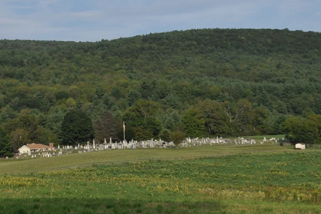
Tyringham Cemetery0.2 mi
Dams nearby
Shaker Pond Dam0.6 mi
Steadman Pond Dam2.1 mi
Goose Pond Dam2.2 mi
Farmland nearby
Palmer0.8 mi
Slater1.8 mi
Fire stations nearby
Tyringham Fire Department0.5 mi
Nature reserves nearby
Tyringham Cobble0.4 mi
Sunset Farm1.4 mi
Parks nearby
Town Park0.2 mi
Streams nearby
Merry Brook0.4 mi
Hop Brook1.3 mi
Loom Brook2.1 mi
Goose Pond Brook2.1 mi
Waters nearby
Shaker Pond0.6 mi
Hale Pond1.9 mi
Steadman Pond2.1 mi
 Public transit map Tyringham Legend
| Railway | |
| Bus | |
| Streetcar |
 Bicycle map Tyringham Legend
| Bike path | |
| Bike lane on roadway | |
| Cycling allowed on bus lane | |
| Bicycle street | |
| Open to cyclists | |
| Open to cyclists, good path | |
| Cycling prohibited | |
| Cobblestone |
| Long-distance bike route | (depending on scale) | |
| Long-distance bike route |
 Pedestrian map Tyringham Legend
| Path |
| Long-distance hiking trail | (depending on scale) | |
| Long-distance hiking trail | ||
| Pedestrians prohibited |