
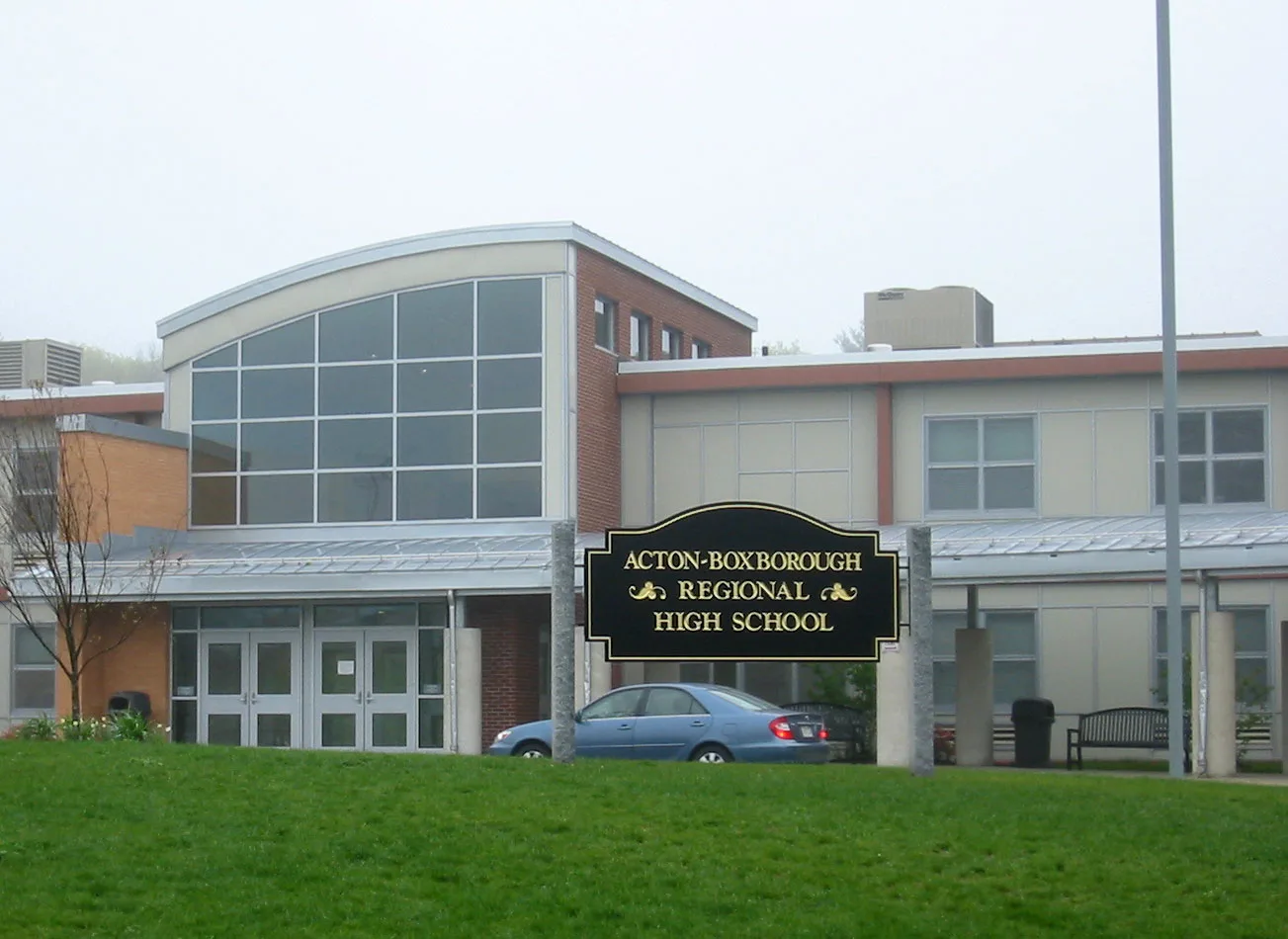
Acton-Boxborough Regional High School in Acton, Massachusetts
Acton-Boxborough Regional High School in Acton is a school building, Charter Road 36 (01720). Acton-Boxborough Regional High School is also known as ABRHS. Ⓦ.
- House Number
- 36
- Postal Code
- 01720
- Street
- Charter Road
- Building Type
- school building
- Website
- https://abrhs.abschools.org/
Image
Dentist offices
Places of worship
Banks
Housewares stores
Ice cream shops
Hardware stores
Fast food restaurants
Cafes
ATMs
Gift shops
Supermarkets
Hair salons
Restaurants
Beauty salons
Museums
- Hosmer House Museum (Web) – approx. 0.4 mi.
Department stores
Cheese shops
Antique stores
Streets nearby
Leary Field Access Path200 ft
Richard E Dow Track0.1 mi
Captain Brown's Lane0.1 mi
Captain Forbush Lane0.2 mi
Deacon Hunt Drive0.2 mi
Hayward Road0.3 mi
Jamies Way0.3 mi
Massachusetts AvenueMount Calvary Church, West Acton, Red White and Brew, DiCapri Pizzeria, Wendyo, Creative Cleaners, Hammer & Stain Nashoba Valley, A Cut Above, Absolute Tile, Stone and Cabinets, Kelley's Corner, Starbucks, Bank of America, True West, Acton Coffee House, Eve and Murray's, West Side Creamery, Graphics Connection
0.3 mi
Charter Road0.3 mi
Oaks Lane0.3 mi
Joseph Reed Lane0.3 mi
Hutchinson Way0.3 mi
Mallard Road0.4 mi
Sarah Jane Court0.4 mi
Community LaneSantander
0.5 mi
Jefferson Drive0.5 mi
Washington Drive0.6 mi
Apartment buildings nearby
Tavernier Place0.3 mi
Banks nearby
Middlesex Savings Bank0.4 mi
Chase0.5 mi
Northern Bank0.5 mi
TD Bank0.5 mi
Beauty salons nearby
Unique Nails0.5 mi
Bed stores nearby
Mattress Firm0.5 mi
Buildings nearby
Baseball Dugout0.2 mi
Cafes nearby
Sante Fe Burrito Grill0.5 mi
Cell phone stores nearby
Verizon0.5 mi
Convenience stores nearby
Phillips 660.4 mi
Dentist's offices nearby
Acton Dental Building0.5 mi
Doctor's offices nearby
Acton Medical Associates0.5 mi
Fast food restaurants nearby
TC Landos0.5 mi
Gardens nearby
ABRHS Community Garden100 ft
Gas stations nearby
Gulf0.4 mi
Hair salons nearby
Supercuts0.5 mi
Industrial buildings nearby
All Metal Fabricators0.2 mi
Haartz Corporation - World Headquarters0.3 mi
Liquor stores nearby
Acton Wine and Spirit Co.0.5 mi
Restaurants nearby
Not Your Average Joes0.5 mi
School buildings nearby
Haywood Road KinderCare0.2 mi
McCarthy-Towne Elementary School0.3 mi
Merriam School0.3 mi
Sheds nearby
Nancy's She-Shed0.1 mi
Sports centers nearby
Acton Bowladrome & Arcade0.4 mi
Sports fields nearby
Leary Field0.1 mi
Lower Fields0.1 mi
Acton-Boxborough Tennis Courts0.2 mi
T.J. O’Grady Memorial Skate Park0.4 mi
Streams nearby
Conant Brook0.3 mi
Supermarkets nearby
Stop & Shop0.3 mi
| Located in | Acton |
|---|---|
| Country | United States |
 Public transit map Acton Legend
| Railway | |
| Bus | |
| Streetcar |
 Bicycle map Acton Legend
| Bike path | |
| Bike lane on roadway | |
| Cycling allowed on bus lane | |
| Bicycle street | |
| Open to cyclists | |
| Open to cyclists, good path | |
| Cycling prohibited | |
| Cobblestone |
| Long-distance bike route | (depending on scale) | |
| Long-distance bike route |
 Pedestrian map Acton Legend
| Path |
| Long-distance hiking trail | (depending on scale) | |
| Long-distance hiking trail | ||
| Pedestrians prohibited |