
Newman Way in Arlington, Massachusetts
Newman Way in Arlington is a two-lane residential street. The street has a width of 12.2. It runs in a northeast-southwest direction starting from Massachusetts Avenue and ends at Wildwood Avenue.
- Road Type
- residential street
- Lanes
- 2
- Route
- northeast-southwest
Image
Restaurants
Charging stations
Laundries
Bakeries
Fabric stores
Attractions
Bus stops
Fast food restaurants
Arts centers
Massage therapy clinics
Hair salons
Dentist offices
Gift shops
Supermarkets
Schools
Beauty salons
Doctor's offices
Streets nearby
Wildwood Avenue450 ft
Willow CourtArlington Laundry Village
0.1 mi
Bailey Road0.1 mi
Jason Court0.1 mi
Windermere Avenue0.1 mi
Windermere Lane0.1 mi
Windermere Park0.1 mi
Field Road0.2 mi
Schouler Court0.2 mi
Jason StreetLittle Free Library
0.2 mi
Churchill Avenue0.2 mi
Lockeland Avenue0.2 mi
Bartlett AvenueEVgo
0.2 mi
Churchill Place0.2 mi
Irving StreetArlington Children's Center, International School of Boston
0.2 mi
Endicott Road0.2 mi
Temple Street0.2 mi
High School Access PathMenotomy Preschool
0.2 mi
Summer StreetSummer St @ Richfield St, Summer St opp Richfield Rd, GPA Contracting, Summer St @ Hospital Rd, Summer St @ Washington St, Summer st @ Forest St, Sono Asian Cuisine, Marbella Design Studio, Arlington Cafe, Summer St opp Washington St, Summer St opp Hospital Rd - Lahey Clinic, Opp 154 Summer St, 154 Summer St
0.3 mi
Gray Street0.3 mi
Gloucester Street0.3 mi
Plymouth Street0.3 mi
Highland AvenueRegina Gifts Inc, Magic Bites - Taste of Mediterranean, Arlington Smoke Shop
0.3 mi
Lincoln Street0.3 mi
Valley Road0.3 mi
Grove Street0.3 mi
Moulton Road0.3 mi
Coleman RoadAstound Broadband
0.3 mi
Minuteman BikewayLittle Free Library, Arlington Liquors, Bluebikes, Ellenhorn, Bluebikes - Thorndike Field at Minuteman Bikeway, Welcome to Arlington, Alpha Collision Center, Park West Salon, Trader Joe's, Alewife Yard
0.4 mi
Amenities nearby
Elizabeth's Daycare and Preschool Center0.2 mi
Banks nearby
Brookline Bank400 ft
Leader Bank Residential Lending Headquarters450 ft
TD Bank0.1 mi
Buildings nearby
Drikung Meditation Center150 ft
Atwood House450 ft
Japanese Association of Greater Boston0.1 mi
Arlington Gaslight Company0.3 mi
The Hamilton Company0.4 mi
Convenience stores nearby
Easy Convenience Store0.3 mi
Drugstores nearby
CVS Pharmacy400 ft
Gas stations nearby
Shell0.3 mi
Language schools nearby
Japanese Language School of Greater Boston0.1 mi
Office buildings nearby
Arlington Department of Public Works0.3 mi
Parks nearby
Wellington Park0.3 mi
Places of worship nearby
First Baptist Church of Arlington0.1 mi
Residential areas nearby
Alta Brigham Square0.2 mi
School buildings nearby
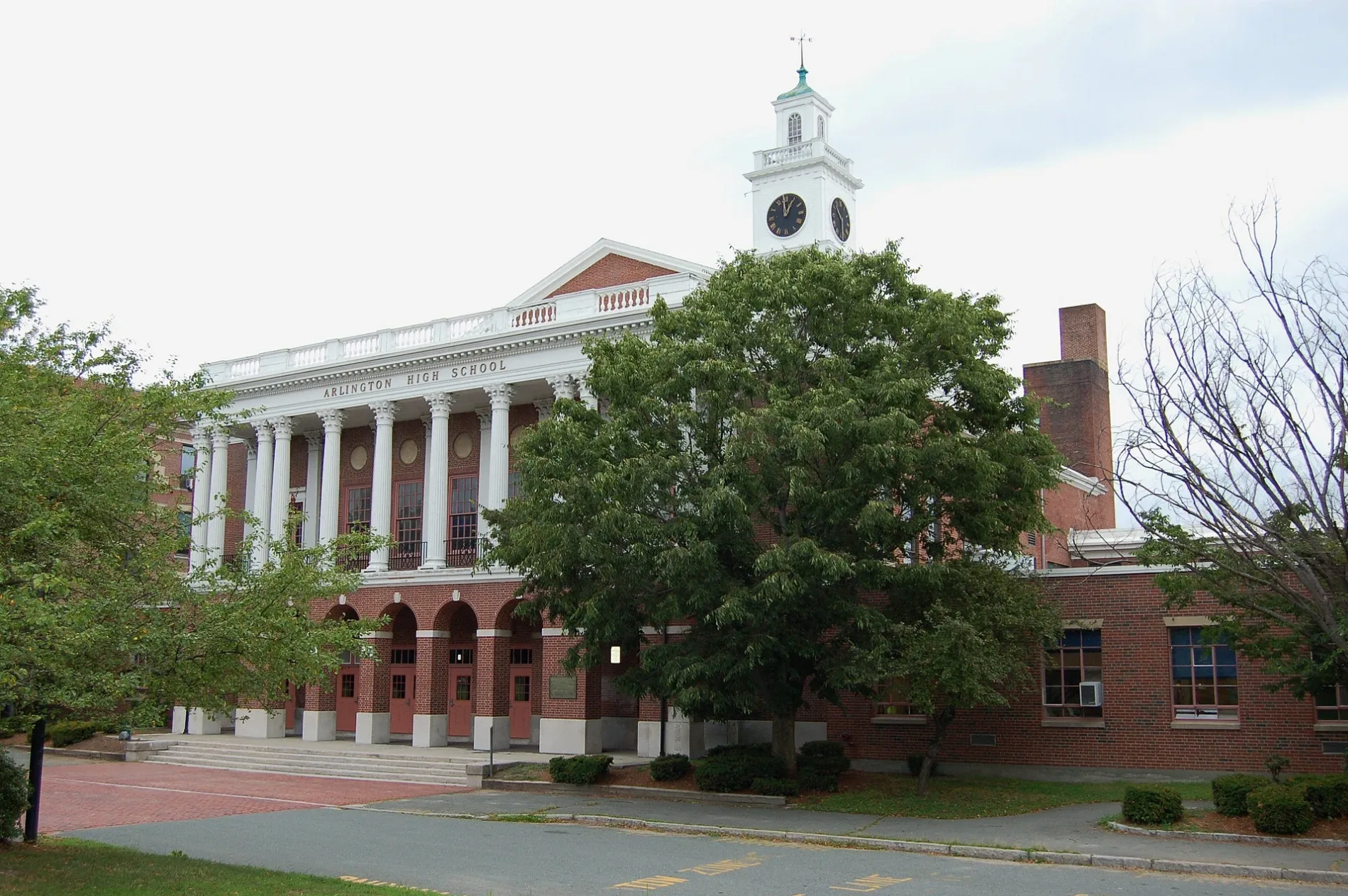
Arlington High School (New Building)0.1 mi
Supermarkets nearby
Stop & Shop0.2 mi
Wine shops nearby
Mystic Wine Shoppe0.2 mi
 Public transit map Arlington Legend
| Railway | |
| Bus | |
| Streetcar |
 Bicycle map Arlington Legend
| Bike path | |
| Bike lane on roadway | |
| Cycling allowed on bus lane | |
| Bicycle street | |
| Open to cyclists | |
| Open to cyclists, good path | |
| Cycling prohibited | |
| Cobblestone |
| Long-distance bike route | (depending on scale) | |
| Long-distance bike route |
 Pedestrian map Arlington Legend
| Path |
| Long-distance hiking trail | (depending on scale) | |
| Long-distance hiking trail | ||
| Pedestrians prohibited |