
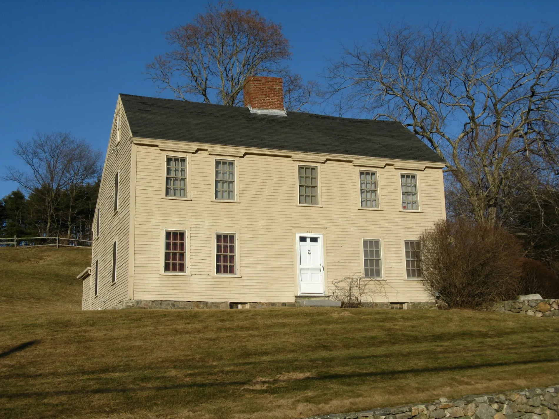
Wheeler-Merriam House in Concord, Massachusetts
Wheeler-Merriam House in Concord is a building, Virginia Road 477. Ⓦ.
- House Number
- 477
- Street
- Virginia Road
- Building Type
- building
Image
Fire stations
Public toilets
Shelters
Car dealerships
Viewpoints
Schools
Tourist information centers
Libraries
Benches
Gas stations
Attractions
Police stations
Streets nearby
Pine Hill Trail0.1 mi
Elm Brook Lane0.2 mi
Thoreau Farm road0.3 mi
Fuller Lane0.3 mi
Gaining Ground Path0.3 mi
Bicycle Route around Deer Fence0.3 mi
Arbor Path0.3 mi
Dunbar Way0.4 mi
Quail Run Drive0.4 mi
Peabody Court0.4 mi
Kenney Lane0.6 mi
Phillip Farm Road0.7 mi
Virginia Road0.7 mi
Kendall Court0.7 mi
Main Trail (blue)Carlson Conservation Area Parking, Kiosk
0.8 mi
Shadyside Avenue0.8 mi
Manuel Drive0.8 mi
Secondary Trail (Orange)5
0.8 mi
Access Trail (yellow)Mary Putnam Webber, Trailhead, Fawn Lake Trailhead Parking, Kiosk
0.8 mi
Battle Road Farm1.0 mi
Battle Road TrailPaul Revere Capture Site, Minuteman History and Map
1.0 mi
Lexington RoadLouisa May Alcott Memorial Association Library, Concord Visitor Center
1.0 mi
North Great RoadMinuteman National Park Ranger Station, GP30
1.0 mi
Concord Turnpike Rte 2A1.0 mi
Attractions nearby
Thoreau Farm - Birthplace of Henry David Thoreau0.3 mi
Buildings nearby
Maple Syrup Sugar Shack0.3 mi
Instrumentation Labs0.8 mi
55 Lincoln North0.9 mi
Samuel Brooks House1.0 mi
Job Brooks House1.0 mi
Noah Brooks Tavern1.0 mi
Farmland nearby
Gaining Ground Farm0.3 mi
Noah Brooks Tavern Farmland1.0 mi
Farms nearby
Carty Barn0.9 mi
Edward Rogers Barn1.1 mi
Landfills nearby
old junkyard0.7 mi
Nature reserves nearby
Concord Farms Cr550 ft
Kaveski Farm0.6 mi
Vanderhoof Conservation Area0.6 mi
Dellovo Conservation Area0.7 mi
Recreation grounds nearby
Virginia Road Field0.5 mi
Residential areas nearby
Hartwell Farms0.8 mi
Residential buildings nearby
Farwell Jones House0.9 mi
Olive Stow House0.9 mi
Joshua Brooks House1.1 mi
Sports fields nearby
Bedford Recreation Field0.9 mi
Streams nearby
Elm Brook0.7 mi
Other nearby
FBO Ramp0.5 mi
Laurence G. Hanscom Field0.9 mi
| Heritage designation | National Register of Historic Places listed place |
|---|---|
| Located in | Massachusetts |
| Country | United States |
 Public transit map Concord Legend
| Railway | |
| Bus | |
| Streetcar |
 Bicycle map Concord Legend
| Bike path | |
| Bike lane on roadway | |
| Cycling allowed on bus lane | |
| Bicycle street | |
| Open to cyclists | |
| Open to cyclists, good path | |
| Cycling prohibited | |
| Cobblestone |
| Long-distance bike route | (depending on scale) | |
| Long-distance bike route |
 Pedestrian map Concord Legend
| Path |
| Long-distance hiking trail | (depending on scale) | |
| Long-distance hiking trail | ||
| Pedestrians prohibited |