
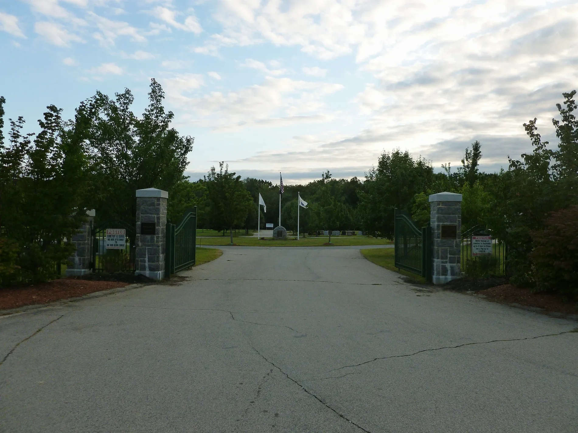
Westlawn II Cemetery in Lowell, Massachusetts
Westlawn II Cemetery in Lowell ist ein historisches Objekt. Westlawn II Cemetery is located near Robert Bigelow Street.
- Land Use
- cemetery
Image
Places of worship
Video game stores
Schools
Auto repair shops
Convenience stores
Viewpoints
Bus stops
Restaurants
Variety stores
Vacation apartments
Gas stations
Dentist offices
Shelters
Streets nearby
Birch Avenue250 ft
Elm Avenue250 ft
Fig Avenue350 ft
Hemlock Avenue400 ft
Oak Avenue400 ft
Almond Avenue550 ft
Cherry Avenue550 ft
Avenue C0.1 mi
Woodland Drive0.1 mi
Nutmeg Avenue0.1 mi
Dogwood Avenue0.1 mi
Logan Avenue0.1 mi
Swan Avenue0.1 mi
Eighth Avenue0.1 mi
Robert Bigelow Street0.1 mi
Sixth Avenue0.1 mi
Avenue F0.1 mi
Third Avenue0.2 mi
Boston Road0.2 mi
Avenue D0.2 mi
Fifth Avenue0.2 mi
Eleventh Avenue0.2 mi
Avenue B0.2 mi
Bigelow Street0.2 mi
Avenue E0.2 mi
Seveth Avenue0.2 mi
Fourth AvenueMammoth Rd and Woodward Ave
0.2 mi
Avenue G0.2 mi
Custer Avenue0.2 mi
Peter V. Blazonis Street0.2 mi
Garfield Avenue0.2 mi
Asbury Way0.2 mi
Avenue A0.2 mi
Avenue H0.2 mi
Tenth Avenue0.2 mi
Dunstan Road0.2 mi
Second Avenue0.2 mi
Edgewood Street0.2 mi
Swan Street0.2 mi
Clancy Street0.2 mi
Huntley Street0.3 mi
Manning Road0.3 mi
Stearns Street0.3 mi
Randall Road0.3 mi
Norman Smith Street0.4 mi
Pineneedle Street0.4 mi
Buildings nearby
Brooks Machine0.3 mi
Cemeteries nearby
Westlawn Cemetery0.2 mi
Parks nearby
Manning Field0.1 mi
| Year built | 1993 |
|---|---|
| Located in | Lowell |
| Country | United States |
 Public transit map Lowell Legend
| Railway | |
| Bus | |
| Streetcar |
 Bicycle map Lowell Legend
| Bike path | |
| Bike lane on roadway | |
| Cycling allowed on bus lane | |
| Bicycle street | |
| Open to cyclists | |
| Open to cyclists, good path | |
| Cycling prohibited | |
| Cobblestone |
| Long-distance bike route | (depending on scale) | |
| Long-distance bike route |
 Pedestrian map Lowell Legend
| Path |
| Long-distance hiking trail | (depending on scale) | |
| Long-distance hiking trail | ||
| Pedestrians prohibited |