
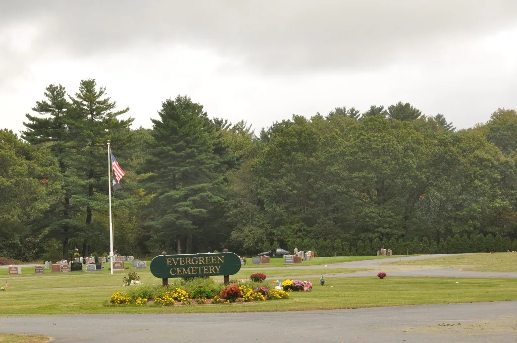
Evergreen Cemetery in Marlborough, Massachusetts
Evergreen Cemetery in Marlborough is a cemetery (City Of Marlborough). Evergreen Cemetery also exists in Hopkinton.
- Land Use
- cemetery
Image
Fast food restaurants
Places of worship
Auto parts stores
Pubs
Tourist information centers
Gas stations
Variety stores
Convenience stores
Restaurants
Dentist offices
Clinics
Stationery stores
Streets nearby
Sheridan Road350 ft
Hemenway StreetThe Church of Jesus Christ of Latter-day Saints, Ghiloni Park State Forest
0.1 mi
Wilson Street0.2 mi
Libby Avenue0.2 mi
Langelier LaneMt. Ward
0.3 mi
Linda Circle0.3 mi
Overgrown0.4 mi
Ewald AvenueState Forest
0.4 mi
Emer Road0.4 mi
Carriage Path0.4 mi
Muir Way0.4 mi
Lafayette Drive0.4 mi
Pomphrey DriveAlltown Fresh
0.4 mi
Heath Street0.4 mi
Orange Blazed Trail0.5 mi
Raymond Road0.5 mi
Boston Post Road EastDunkin', Mobil, New England Dental Group, Post Road Art Center, Capital Farms, Post Road Pizza, Saxonville Buritto, Subway, Zenith Primary & Urgent Care, Speedway, Joy Asia, Post Road Auto Parts, Post Road Carpet, Halfway Cafe, Stephen Anthony'S Seafood & Steakhouse, Wayside Sewing
0.5 mi
Melody Lane0.5 mi
Westminster Drive0.5 mi
Dicenzo Boulevard0.5 mi
Fish Lane0.5 mi
Bouffard Drive0.6 mi
Concord RoadGhiloni Park, Ghiloni Park State Forest
0.6 mi
Dowling Lane0.6 mi
Boise Road0.6 mi
Rolfe Road0.6 mi
Beaman Lane0.6 mi
Farm RoadTrombetta's Farm
0.6 mi
Mustang Avenue0.6 mi
Village Drive0.6 mi
Sunset Circle0.7 mi
Cadillac Drive0.7 mi
Fitzgerald Road0.7 mi
Kinder Circle0.7 mi
McNeil Circle0.7 mi
Collins Drive0.7 mi
Jean Road0.7 mi
Stow RoadCider Knoll, Cider Knoll Mello Family Meadow Conservation Land
0.7 mi
Symphony Road0.8 mi
Vega Road0.8 mi
Leisure nearby
Marlborough-Sudbury State Forest0.3 mi
Marlborough State Forest0.5 mi
Cemeteries nearby
Wilson Cemetery0.3 mi
Department stores nearby
Target0.6 mi
Dog parks nearby
Marlborough Dog Park0.6 mi
Drugstores nearby
Walgreens0.7 mi
Fast food restaurants nearby
Burger King0.6 mi
Hardware stores nearby
The Home Depot0.6 mi
Streams nearby
Broad Meadow Brook0.6 mi
| Located in | Marlborough |
|---|---|
| Country | United States |
 Public transit map Marlborough Legend
| Railway | |
| Bus | |
| Streetcar |
 Bicycle map Marlborough Legend
| Bike path | |
| Bike lane on roadway | |
| Cycling allowed on bus lane | |
| Bicycle street | |
| Open to cyclists | |
| Open to cyclists, good path | |
| Cycling prohibited | |
| Cobblestone |
| Long-distance bike route | (depending on scale) | |
| Long-distance bike route |
 Pedestrian map Marlborough Legend
| Path |
| Long-distance hiking trail | (depending on scale) | |
| Long-distance hiking trail | ||
| Pedestrians prohibited |