
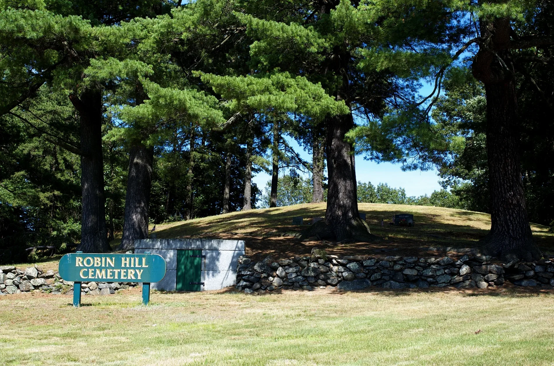
Robin Hill Cemetery in Marlborough, Massachusetts
Robin Hill Cemetery in Marlborough is a cemetery (Elevation 86 m). Robin Hill Cemetery is located near Peebles Way. Ⓦ.
- Amenity
- cemetery
- Land Use
- cemetery
Image
Restaurants
- Atlantic Poké (Seafood, takeout, delivery service, vegetarian options, wheelchair accessible, opening hours: Mon–Fri 11–19:30; Sat–Sun 11:30–19:30) at Boston Post Rd W 237 (01752). Atlantic Poké is a food concept serving all the great flavors you have grown to love from eating sushi and other exotic foods, in our Signature Bowl and a build-your-own bowl format offerings. – approx. 1.7 mi.
Clothing stores
Sporting goods stores
Tourist information centers
Ice cream shops
Fast food restaurants
Charging stations
Electronics stores
Shoe stores
Supermarkets
Department stores
Cafes
Pharmacies
Bus stops
Variety stores
Attractions
Streets nearby
Peebles Way0.2 mi
Donald J. Lynch Boulevard0.3 mi
Wheeler Hill Boulevard0.3 mi
Austen Way0.4 mi
Bronte Way0.4 mi
River RoadGrace Baptist Church
0.5 mi
Donahue Drive0.5 mi
Doucette Drive0.5 mi
Goodwin Street0.5 mi
Reynolds Court0.5 mi
Dickenson Way0.5 mi
Christie Way0.5 mi
McDermot Way0.5 mi
Rimkus Road0.5 mi
Freeman Circle0.5 mi
Four Bridges Road0.6 mi
Donald J Lynch BoulevardTesla Supercharger
0.6 mi
North Bigelow Street0.6 mi
Dufresne Drive0.6 mi
Hermit Cave Trail0.6 mi
Jacobs Road0.6 mi
Cummings Road0.6 mi
Bigelow Street0.6 mi
Lilac Lane0.6 mi
McDonough Drive0.7 mi
Blue Star Memorial Highway0.7 mi
Route 85 Connector0.7 mi
Fox Road0.7 mi
overgrown0.7 mi
Ahlgren Circle0.7 mi
Bridge Road0.7 mi
Peltier Street0.9 mi
Bergeron Road0.9 mi
Amenities nearby
Super Stars Learning Center250 ft
Churches nearby
Carmel Marthoma Church0.5 mi
Department stores nearby
Target0.6 mi
Hotels nearby
Residence Inn550 ft
Nature reserves nearby
Bigelow Street Conservation Land0.5 mi
Flagg Swamp Wildlife Management Area0.5 mi
Rivers Edge Estate Former Driving Range0.6 mi
Howe Pond Land0.7 mi
Office buildings nearby
Nasdaq OMX0.5 mi
Rivers nearby
Assabet River0.7 mi
School buildings nearby
Crossroads School0.4 mi
New England Innovation Academy0.8 mi
Sports centers nearby
New England Sports Center0.2 mi
Streams nearby
North Branch Brook0.8 mi
Waters nearby
Howe Pond0.7 mi
Watershed protection areas nearby
Rimkus Well0.5 mi
| Year built | 1817 |
|---|---|
| Heritage designation | National Register of Historic Places listed place |
| Located in | Marlborough |
| Country | United States |
 Public transit map Marlborough Legend
| Railway | |
| Bus | |
| Streetcar |
 Bicycle map Marlborough Legend
| Bike path | |
| Bike lane on roadway | |
| Cycling allowed on bus lane | |
| Bicycle street | |
| Open to cyclists | |
| Open to cyclists, good path | |
| Cycling prohibited | |
| Cobblestone |
| Long-distance bike route | (depending on scale) | |
| Long-distance bike route |
 Pedestrian map Marlborough Legend
| Path |
| Long-distance hiking trail | (depending on scale) | |
| Long-distance hiking trail | ||
| Pedestrians prohibited |